Thunder Creek Trail
- 5.0 mi
- round trip
- 3,561 ft
- climb
- 5,594 ft
- high point
- Out and back
- route
Is Thunder Creek Trail open right now?
Closure in the area
There's a closure order in Colville National Forest. It doesn't name Thunder Creek Trail, so check the source for the area it covers.
Sinlahekin Fire Closure
Agency closure covering Colville National Forest · Order 06-21-09-26-15 · USFS · Colville National Forest
As of · Source: USFS · Colville National Forest. Agencies don't list every closure — check before you go.
Thunder Creek Trail is a hard hike in the Sullivan Lake Ranger District of Washington's Colville National Forest. The trail is a 10-mile out-and-back that starts at Thunder Creek Trailhead and climbs to a high point of 5,594 feet, with a one-way elevation gain of 2,498 feet and a total round-trip gain of 3,561 feet. The climb is steady, with the steepest stretch at about 4.2 miles in, where the grade reaches 19 percent. The route begins at an elevation of about 4,159 feet and ends at roughly 4,127 feet, so the high point sits a few hundred feet above the trailhead. Plan on about five hours for the round trip. Nearby, the Thunder Creek hike lies about a mile away, and the Salmo Divide Trail #535 and Jackson Mountain Trail are each within about 3 miles. For paddling, the Upper Priest River is about 5.6 miles off, and the East Sullivan and West Sullivan campgrounds are roughly 10 miles from the trailhead.
Local outfitters
- Nordman Resort20 mi away
Not on Roamze yet. Their page has how to reach them.
- THUNDER CREEKHiking1.1 mi
- Salmo Divide Trail #535Hiking3.1 mi
- Jackson Mountain TrailHiking3.2 mi
- Upper Priest RiverCanoeing5.6 mi
- Gold CreekCanoeing6.2 mi
- Sullivan CreekCanoeing6.6 mi
 East SullivanCampingPhoto: Recreation.gov (RIDB) / public domain9.6 mi
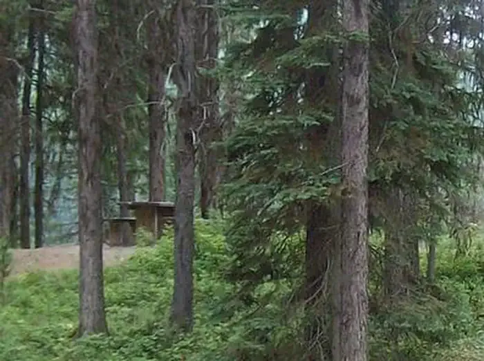 West SullivanCampingPhoto: Recreation.gov (RIDB) / public domain9.8 mi
Source: Roamze catalog (indexable pages within 10 miles, PostGIS distance)
 Little Snowy TopHiking · ~11 min drivePhoto: Forest Service - Northern Region, Public Domain Mark (via Flickr)
 Sullivan Lake Nature TrailHiking · ~17 min drivePhoto: zak11527, CC BY-SA 3.0 (via Wikimedia Commons)
- Jackson Mountain TrailHiking · ~6 min drive
- Salmo Basin TrailHiking · ~6 min drive
 Jackson CreekHiking · ~6 min drivePhoto: Forest Service - Northern Region, Public Domain Mark (via Flickr)
- NATUREHiking · ~17 min drivePhoto: zak11527, CC BY-SA 3.0 (via Wikimedia Commons)
- Helmer Creek TrailHiking · ~8 min drive
- Shedroof Divide Trail #512Hiking · ~13 min drive
- Salmo Divide Trail #535Hiking · ~5 min drive
- Lakeshore Campground Spur TrailHiking · ~17 min drivePhoto: zak11527, CC BY-SA 3.0 (via Wikimedia Commons)
Map and trail data © OpenStreetMap contributors
