Valley Camp Retreat Center
Campground
Campground · 2.9 mi from the trail
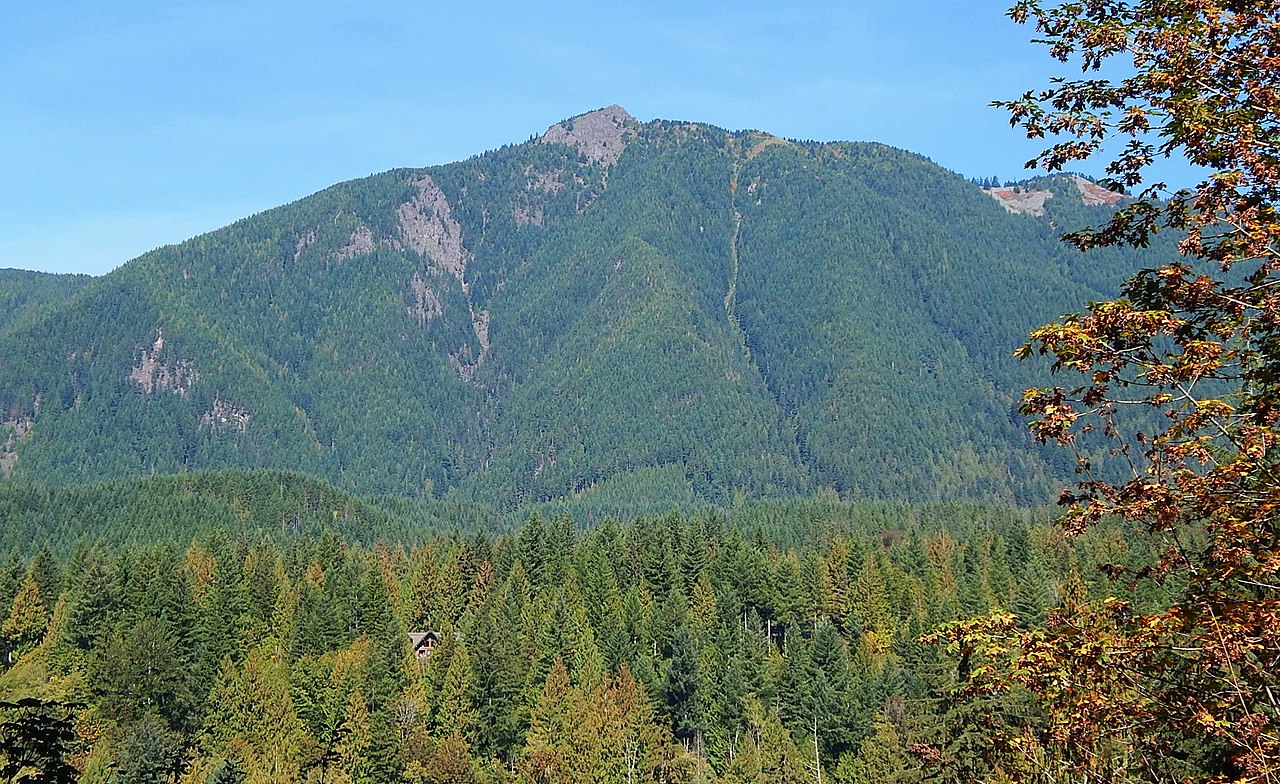
 Photo: Krystof Hoder, CC BY 3.0 (via Wikimedia Commons)
Teneriffe Falls Connector Trail is a short, easy out-and-back hike in Washington's Mount Si Natural Resources Conservation Area, managed by the State Department of Natural Resources. The trail is about 0.3 miles long, with a total elevation gain of 292 feet, and it takes roughly half an hour to complete. The route starts at an elevation of about 2,062 feet and reaches a high point of 2,087 feet before returning. The steepest stretch comes early on, with a grade of about 18% at 0.17 miles, so plan for a slight climb at the outset. Summer is the most comfortable time to go. Typical averages from the Cedar Lake weather station, about 6 miles away, show July and August highs near 70°F with only eight or nine wet days a month, while winter brings frequent snow days and highs in the upper 30s. The Mount Teneriffe Trail and the Kamikaze Trail both lie about 0.4 miles away. Climbers can head to Exit 32 / Little Si, about 1.8 miles off, and paddlers will find Hancock Creek roughly 5 miles away.
Valley Camp Retreat Center
Campground
 If it rainsShakespeare at English Wikipedia, CC BY-SA 3.0 · Wikimedia Commons
Railway station in Snoqualmie, the United States of America
Places © OpenStreetMap contributors, Places © Overture Maps Foundation · Photos: Shakespeare at English Wikipedia, CC BY-SA 3.0 (commons)
More in Gold BarNot on Roamze yet. Their page has how to reach them.
 Mount Teneriffe TrailHikingPhoto: Krystof Hoder, CC BY 3.0 (via Wikimedia Commons)0.4 mi
 World WallRock climbingPhoto: brewbooks from near Seattle, USA, CC BY-SA 2.0 (via Wikimedia Commons)1.8 mi
 Middle Fork CampgroundCampingPhoto: Recreation.gov (RIDB) / public domain8.8 mi
 Tinkham CampgroundCampingPhoto: Recreation.gov (RIDB) / public domain9.8 mi
Source: Roamze catalog (indexable pages within 10 miles, PostGIS distance)
Mount Teneriffe TrailHiking · Next doorPhoto: Krystof Hoder, CC BY 3.0 (via Wikimedia Commons) Si–Teneriffe Connector TrailHiking · ~1 min drivePhoto: brewbooks from near Seattle, USA, CC BY-SA 2.0 (via Wikimedia Commons)Talus Loop TrailHiking · ~1 min drivePhoto: Krystof Hoder, CC BY 3.0 (via Wikimedia Commons)
 Mount Washington TrailHiking · ~8 min drivePhoto: Steven Pavlov, CC BY-SA 3.0 (via Wikimedia Commons)
 Roaring Creek TrailHiking · ~1 min drivePhoto: Krystof Hoder, CC BY 3.0 (via Wikimedia Commons)Mount Si TrailHiking · ~1 min drivePhoto: Krystof Hoder, CC BY 3.0 (via Wikimedia Commons)Blowdown Mountain TrailHiking · ~2 min drivePhoto: brewbooks from near Seattle, USA, CC BY-SA 2.0 (via Wikimedia Commons)
Also worth it near here
Best months: July–September. Best months have typical highs of 55–85 °F, lows of 30 °F or warmer (32 °F where the station doesn't record snow), at most one snowy day and no more than 12 wet days.
Jan
39° / 32°
19 wet · 5 snow
Feb
42° / 32°
17 wet · 4 snow
Mar
46° / 33°
20 wet · 4 snow
Apr
51° / 36°
19 wet · 1 snow
May
59° / 42°
17 wet
Jun
63° / 46°
15 wet
Jul
70° / 51°
9 wet
Aug
71° / 52°
8 wet
Sep
64° / 47°
12 wet
Oct
54° / 41°
17 wet
Nov
44° / 36°
20 wet · 2 snow
Dec
39° / 31°
20 wet · 5 snow
Typical high / low (°F) and days with rain or snow, 1991–2020. Measured at Cedar Lake, WA, 6.3 mi away at 1,560 ft. The station sits about 500 ft lower than this place, so expect it a little cooler here. Source: NOAA NCEI U.S. Climate Normals 1991–2020.
Map and trail data © OpenStreetMap contributors