Valley Camp
Hiking business nearby (~2 mi away) — hasn't claimed their Roamze page yet
Free — you'll pick up right here.
Watch this trail
Sign up to watch it — saving subscribes you to gate, closure and report changes.
Washington
2.4 mi
Distance
4,389 ft
Gain
2h 25m
Time
We won't guess. Here is exactly what we do and don't know.
What we do know
Inside Mt. Baker-Snoqualmie National Forest
2 managing-area boundaries mapped — agency alerts for them feed this page automatically.
Boundary data
What's missing
No access route mapped
We don't yet know which road reaches this trailhead, so we can't tell you if it's gated.
Nobody's filed a report here yet — be the first.
Why you'll love it
Mount Washington Trail
AI-suggested draft · review before you go
Mount Washington Trail is a 4.88-mile out-and-back hike in Washington with 4,389 feet of elevation gain and loss. The route reaches a maximum elevation of 3,489 feet.
Great Wall Trail
~1 min drive
1.58-mile out-and-back trail in Washington with 1,305 ft elevation gain and loss.
Twin Falls Trail
~2 min drive
1.64-mile out-and-back trail with 926 ft elevation gain in Washington.
Mailbox Peak Old Trail
~3 min drive
3.1-mile out-and-back trail with 3,686 ft gain in Washington.
Olallie Trail
~5 min drive
12.84-mile out-and-back trail in Washington with 5,101 ft elevation gain/loss
Olallie Trail
~1 min drive
2.18-mile out-and-back trail in Washington with 1,789 ft elevation gain.
Hall Creek Trail
~2 min drive
0.66-mile out-and-back trail in Washington with 303 ft elevation gain.
Neverland Climbing Area Trail
~4 min drive
0.82-mile out-and-back route with 818 ft gain at Neverland Climbing Area Trail in Washington
Change Creek Trail
~2 min drive
2.9-mile out-and-back trail in Washington with 2,943 ft gain/loss
Twin Falls Trail
~3 min drive
2.06-mile out-and-back hike with 1,432 ft gain in Washington
Putrid Pete's Peak Trail
~7 min drive
4.06-mile out-and-back hike in Washington with 4,986 ft elevation gain.
Also worth it near here
 Photo: bgreenlee, CC BY 2.0 (via Flickr)
Club Paradiso / The Actual Cave
~0 min drive
 Photo: KimonBerlin, CC BY-SA 2.0 (via Wikimedia Commons)
Twin Falls
~2 min drive
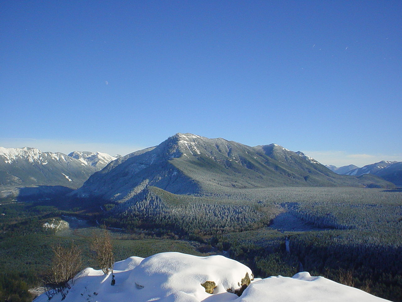 Photo: Konrad Roeder (CC) 2006, CC BY 2.5 (via Wikimedia Commons)
Mount Washington
~3 min drive
Granite Lakes
~5 min drive
CCC Trail
~7 min drive
Map and trail data © OpenStreetMap contributors
Local operatorsoffering guided trips. You book directly with them — Roamze doesn’t take a cut.
Valley Camp
Hiking business nearby (~2 mi away) — hasn't claimed their Roamze page yet
Blue Sky RV Park
Hiking business nearby (~13 mi away) — hasn't claimed their Roamze page yet
Issaquah Village RV Park
Hiking business nearby (~18 mi away) — hasn't claimed their Roamze page yet
