Puget Canyon Trail
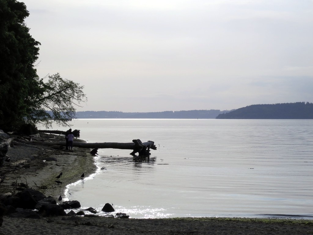
 Photo: Steven Pavlov, CC BY-SA 3.0 (via Wikimedia Commons)
- 0.6 mi
- round trip
- 331 ft
- climb
- 318 ft
- high point
- Out and back
- route
- May–Sep
- best months
Puget Canyon Trail is a short, easy out-and-back hike in Washington, about half a mile from the community of Old Tacoma. The route is 1.2 miles long, with a total elevation gain of 331 feet, and it reaches a high point of 318 feet. The climb is front-loaded, with the steepest stretch at about 0.37 miles in, where the grade reaches 17 percent. Summer is the most comfortable time to go. Typical averages from a nearby weather station show July and August highs around 76°F with only four or five wet days a month, while winter months bring highs in the mid-40s and rain on 20 or more days. The trip takes about half an hour, so it works well as a quick outing. Garfield Gulch Trail is about 1.2 miles away, and Point Defiance Park and DeLong Park Trail are both within about 2.3 miles.
Local outfitters
- AYH Ranch12 mi away
- Back 40 Outfitters14 mi away
Not on Roamze yet. Their page has how to reach them.
- Garfield Gulch TrailHiking1.2 mi
- Point Defiance ParkRock climbing2.2 mi
- DeLong Park TrailHiking2.3 mi
- Wilson Way Bridge BoulderRock climbing2.3 mi
- Hillside LoopHiking2.9 mi
- Ridge TrailHiking3.8 mi
- TacomaRock climbing4 mi
- Central-West Cascades & SeattleRock climbing7.4 mi
Source: Roamze catalog (indexable pages within 10 miles, PostGIS distance)
 Inside Loop Trail (Yellow)Hiking · ~6 min drivePhoto: Steven Pavlov, CC BY-SA 3.0 (via Wikimedia Commons)
- Swan Creek TrailHiking · ~11 min drive
- Spine Trail (Light Blue)Hiking · ~6 min drivePhoto: Steven Pavlov, CC BY-SA 3.0 (via Wikimedia Commons)
- Chambers Creek Canyon TrailHiking · ~12 min drive
- Inside Loop Trail (Yellow)Hiking · ~7 min drivePhoto: Steven Pavlov, CC BY-SA 3.0 (via Wikimedia Commons)
 Thames Creek Beach TrailHiking · ~7 min drivePhoto: inte the husky, CC BY 3.0 (via Wikimedia Commons)
- Boundary TrailHiking · ~7 min drivePhoto: inte the husky, CC BY 3.0 (via Wikimedia Commons)
- Old Boundary TrailHiking · ~7 min drivePhoto: inte the husky, CC BY 3.0 (via Wikimedia Commons)
 Judd Creek LoopHiking · ~16 min drivePhoto: Leslie Seaton from Seattle, WA, USA, CC BY 2.0 (via Wikimedia Commons)
- Garfield Gulch TrailHiking · ~2 min drive
Best time to visit Puget Canyon Trail
Best months: May–September. Best months have typical highs of 55–85 °F, lows of 30 °F or warmer (32 °F where the station doesn't record snow), at most one snowy day and no more than 12 wet days.
Jan
46° / 36°
21 wet
Feb
48° / 37°
18 wet
Mar
53° / 39°
19 wet
Apr
57° / 41°
15 wet
May
64° / 47°
12 wet
Jun
70° / 51°
9 wet
Jul
76° / 54°
4 wet
Aug
76° / 54°
5 wet
Sep
70° / 51°
9 wet
Oct
59° / 46°
16 wet
Nov
50° / 40°
19 wet
Dec
46° / 36°
21 wet
Typical high / low (°F) and days with rain or snow, 1991–2020. Measured at Tacoma Narrows Ap, WA, 4.6 mi away at 292 ft. This station doesn't record snowfall. Source: NOAA NCEI U.S. Climate Normals 1991–2020.
Map and trail data © OpenStreetMap contributors
