Boundary Trail
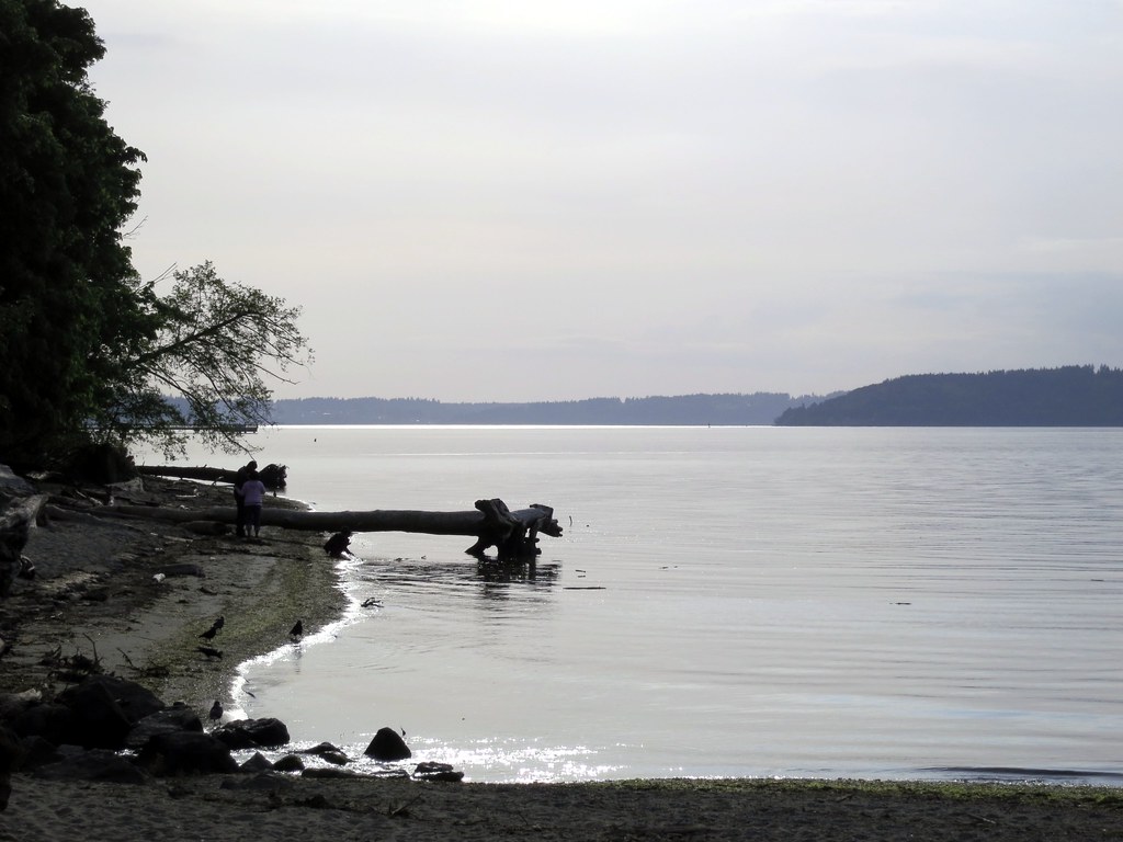
 Photo: inte the husky, CC BY 3.0 (via Wikimedia Commons)
- 0.5 mi
- round trip
- 288 ft
- climb
- 343 ft
- high point
- Out and back
- route
- May–Sep
- best months
Boundary Trail is a short, easy out-and-back hike in Dash Point State Park in Washington, managed by State Park and Recreation. The trail is about a mile long, with a total elevation gain of 288 feet, and it starts and ends at roughly 284 feet. The climb is front-loaded, with the steepest stretch at about 0.05 miles in, and the high point reaches about 343 feet. Summer is the most comfortable time to go. Typical averages from a nearby weather station in Tacoma show July and August highs around 77°F with only about four wet days a month, while winter months bring highs in the upper 40s and rain on most days. The hike takes about half an hour. Old Boundary Trail lies just 0.1 mile away, and Thames Creek Beach Trail is about 0.2 mile off. Ridge Trail and Technical Trail are both within half a mile.
Local outfitters
- Back 40 Outfitters9 mi away
- AYH Ranch10 mi away
Not on Roamze yet. Their page has how to reach them.
- Old Boundary TrailHikingPhoto: inte the husky, CC BY 3.0 (via Wikimedia Commons)0.1 mi
- Thames Creek Beach TrailHikingPhoto: inte the husky, CC BY 3.0 (via Wikimedia Commons)0.2 mi
- Ridge TrailHiking0.4 mi
- Technical TrailHiking0.5 mi
- Point Defiance ParkRock climbing4.8 mi
- Wilson Way Bridge BoulderRock climbing4.9 mi
- TacomaRock climbing6 mi
- Les Gove ParkRock climbing9 mi
Source: Roamze catalog (indexable pages within 10 miles, PostGIS distance)
- Old Boundary TrailHiking · Next doorPhoto: inte the husky, CC BY 3.0 (via Wikimedia Commons)
- Swan Creek TrailHiking · ~13 min drive
- Thames Creek Beach TrailHiking · Next doorPhoto: inte the husky, CC BY 3.0 (via Wikimedia Commons)
 Puget Canyon TrailHiking · ~7 min drivePhoto: Steven Pavlov, CC BY-SA 3.0 (via Wikimedia Commons)
 Spine Trail (Light Blue)Hiking · ~10 min drivePhoto: Steven Pavlov, CC BY-SA 3.0 (via Wikimedia Commons)
- Inside Loop Trail (Yellow)Hiking · ~11 min drivePhoto: Steven Pavlov, CC BY-SA 3.0 (via Wikimedia Commons)
- Inside Loop Trail (Yellow)Hiking · ~11 min drivePhoto: Steven Pavlov, CC BY-SA 3.0 (via Wikimedia Commons)
 Barnes Creek Nature TrailHiking · ~13 min drivePhoto: uhrichj, CC BY 3.0 (via Wikimedia Commons)
 Lake Fenwick TrailHiking · ~13 min drivePhoto: Nima ZANDI, CC BY-SA 3.0 (via Wikimedia Commons)
 Judd Creek LoopHiking · ~14 min drivePhoto: Leslie Seaton from Seattle, WA, USA, CC BY 2.0 (via Wikimedia Commons)
Best time to visit Boundary Trail
Best months: May–September. Best months have typical highs of 55–85 °F, lows of 30 °F or warmer (32 °F where the station doesn't record snow), at most one snowy day and no more than 12 wet days.
Jan
48° / 37°
19 wet
Feb
50° / 37°
16 wet
Mar
55° / 40°
17 wet
Apr
60° / 44°
14 wet
May
66° / 49°
11 wet
Jun
71° / 53°
8 wet
Jul
77° / 57°
4 wet
Aug
77° / 57°
4 wet
Sep
71° / 53°
8 wet
Oct
61° / 47°
14 wet
Nov
52° / 41°
19 wet
Dec
47° / 37°
20 wet
Typical high / low (°F) and days with rain or snow, 1991–2020. Measured at Tacoma #1, WA, 4.5 mi away at 25 ft. This station doesn't record snowfall. Source: NOAA NCEI U.S. Climate Normals 1991–2020.
Map and trail data © OpenStreetMap contributors
