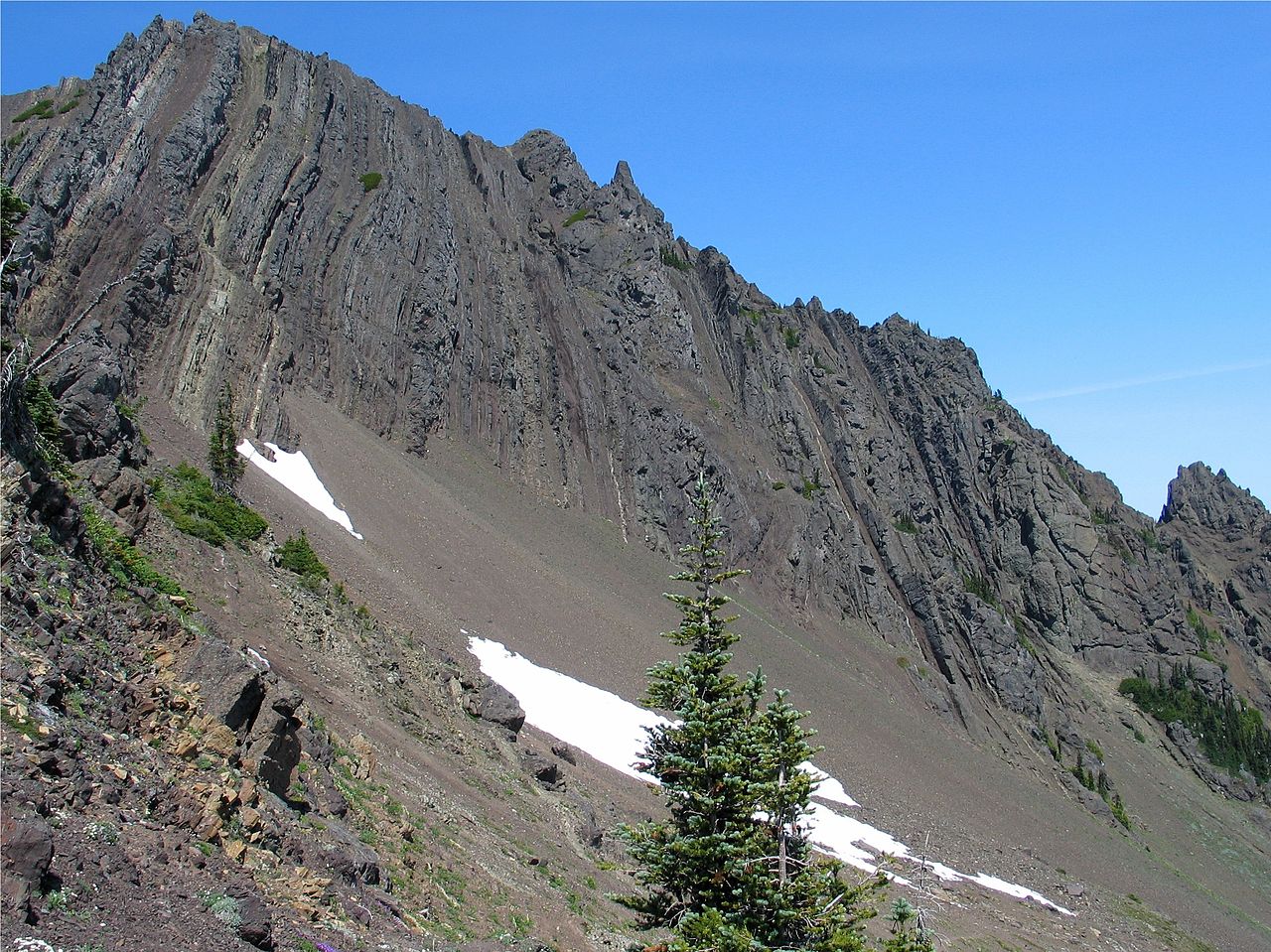
Little River Trail
- 6.0 mi
- round trip
- 7,595 ft
- climb
- 5,112 ft
- high point
- Out and back
- route
Little River Trail is a 12-mile out-and-back hike in Washington's Daniel J. Evans Wilderness, managed by the State Department of Natural Resources. The route starts at about 1,165 feet and climbs to a high point of 5,112 feet, with a total elevation gain of 7,595 feet over the round trip. That makes it a demanding, expert-level trek suited to those with experience on steep, high-country terrain. The trail is a classic wilderness climb, and its figures tell the story. The climb is roughly 12 miles long, and the one-way gain is about 3,700 feet. Plan on about eight hours for the whole trip. The route is a loop in the sense that it returns to the trailhead, so the full round-trip figures apply here rather than a one-way ascent. Several other destinations sit within a short distance. Little River and the Scaler mountain biking route are each about a mile away. Climbers can head to the Elwha River and The Elwhall, both a little over 4 miles off.
Local outfitters
- Elwha RV Park4 mi away
- Olympic Hiking Co.6 mi away
Not on Roamze yet. Their page has how to reach them.
- Little RiverHiking1 mi
- ScalerMountain biking1 mi
- Climbing TrailMountain biking1 mi
- Elwha RiverRock climbing4.4 mi
- The ElwhallRock climbing4.5 mi
- Waka BeachRock climbing4.5 mi
 Morse CreekCanoeingPhoto: Evvekk, CC0 (via Wikimedia Commons)6.3 mi
- Maiden CreekCanoeing9.6 mi
Source: Roamze catalog (indexable pages within 10 miles, PostGIS distance)
 Heather Park TrailHiking · ~4 min drivePhoto: sf-dvs, CC BY 2.0 (via Wikimedia Commons)
 Lower Uproot (Climb Trail)Hiking · ~7 min drivePhoto: Staxilicious, CC BY-SA 3.0 (via Wikimedia Commons)
 Hurricane Ridge to Klahhane Ridge TraiHiking · ~7 min drivePhoto: Scott Thompson, CC BY 3.0 (via Wikimedia Commons)
 Lake Angeles TrailHiking · ~7 min drivePhoto: Robert Ashworth from Bellingham, WA., USA, CC BY 2.0 (via Wikimedia Commons)
- Elwha to Hurricane Hill TrailHiking · ~8 min drive
 High Ridge Nature TrailHiking · ~9 min drivePhoto: Gabriele Giuseppini, CC BY 3.0 (via Wikimedia Commons)
 Humes Ranch Loop TrailHiking · ~11 min drivePhoto: Bala from Seattle, USA, CC BY-SA 2.0 (via Wikimedia Commons)
 Cox Valley Primitive TrailHiking · ~9 min drivePhoto: Gabriele Giuseppini, CC BY 3.0 (via Wikimedia Commons)
- Wolf Creek TrailHiking · ~8 min drive
- Cirque Rim Nature TrailHiking · ~9 min drivePhoto: Gabriele Giuseppini, CC BY 3.0 (via Wikimedia Commons)