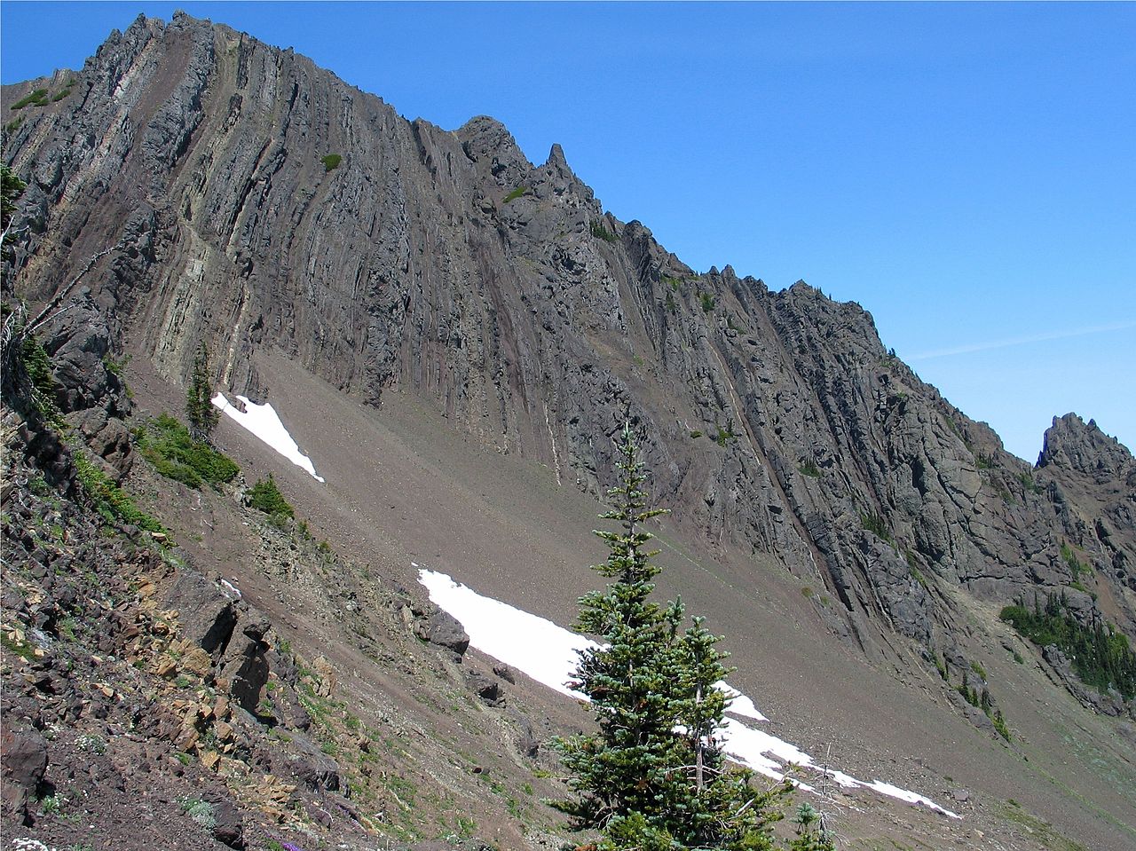
Hurricane Hill Trailhead
- 0.3 mi
- round trip
- 152 ft
- climb
- 5,076 ft
- high point
- Out and back
- route
Is Hurricane Hill Trailhead open right now?
Closure in the area
There's a closure order in Olympic National Park. It doesn't name Hurricane Hill Trailhead, so check the source for the area it covers.
Hurricane Ridge Road Closed, Tuesday 11/17, 8:45am
Park closure covering Olympic National Park · NPS · Olympic National Park
Visitors to Rialto, Ruby Beach & Coastal Areas Cautioned Due to High Tides
Park alert covering Olympic National Park · NPS · Olympic National Park
Bat Tests Positive for Rabies, Visitors Urged to Report Potential Contact
Park alert covering Olympic National Park · NPS · Olympic National Park
Full Burn Ban Begins August 7
Park alert covering Olympic National Park · NPS · Olympic National Park
Staircase Developed Area is Open, Use Caution in Burned Areas
Park alert covering Olympic National Park · NPS · Olympic National Park
As of · Source: NPS · Olympic National Park. Agencies don't list every closure — check before you go.
Hurricane Hill Trailhead sits at the edge of Olympic National Park in Washington, about a third of a mile from the park's boundary. The trail itself is an out-and-back route of about 0.6 miles, with a low point of 5,021 feet and a high of 5,076 feet, so the climb is minimal: a total gain of about 150 feet, roughly a 6% grade on the steepest part of the route, which comes early at about 0.15 miles. The trail is easy to fit into a day. Plan on about half an hour, and expect a small fee to enter the park. Wolf Creek Trail lies about half a mile away, and Hurricane Hill Nature Trail and Cirque Rim Nature Trail are both within about a mile and a quarter. For time on the water, Morse Creek offers canoeing about 7 miles off.
Local outfitters
- Elwha RV Park9 mi away
- Olympic Hiking Co.11 mi away
Not on Roamze yet. Their page has how to reach them.
- Wolf Creek TrailHiking0.5 mi
- Hurricane Hill Nature TrailHiking1.1 mi
 Cirque Rim Nature TrailHikingPhoto: Gabriele Giuseppini, CC BY 3.0 (via Wikimedia Commons)1.2 mi
 Morse CreekCanoeingPhoto: Evvekk, CC0 (via Wikimedia Commons)7.1 mi
- Elwha RiverRock climbing8.4 mi
- The ElwhallRock climbing8.5 mi
- Waka BeachRock climbing8.5 mi
- Maiden CreekCanoeing9 mi
Source: Roamze catalog (indexable pages within 10 miles, PostGIS distance)
- Cirque Rim Nature TrailHiking · ~2 min drivePhoto: Gabriele Giuseppini, CC BY 3.0 (via Wikimedia Commons)
 Cox Valley Primitive TrailHiking · ~3 min drivePhoto: Gabriele Giuseppini, CC BY 3.0 (via Wikimedia Commons)
 Humes Ranch Loop TrailHiking · ~4 min drivePhoto: Bala from Seattle, USA, CC BY-SA 2.0 (via Wikimedia Commons)
 Heather Park TrailHiking · ~8 min drivePhoto: sf-dvs, CC BY 2.0 (via Wikimedia Commons)
- High Ridge Nature TrailHiking · ~2 min drivePhoto: Gabriele Giuseppini, CC BY 3.0 (via Wikimedia Commons)
 Lake Angeles TrailHiking · ~7 min drivePhoto: Robert Ashworth from Bellingham, WA., USA, CC BY 2.0 (via Wikimedia Commons)
 Hurricane Ridge to Klahhane Ridge TraiHiking · ~4 min drivePhoto: Scott Thompson, CC BY 3.0 (via Wikimedia Commons)
- Wolf Creek TrailHiking · Next door
- Geyser Valley TrailHiking · ~4 min drivePhoto: Bala from Seattle, USA, CC BY-SA 2.0 (via Wikimedia Commons)
- Switchback TrailHiking · ~5 min drive