Chelan Riverwalk Loop
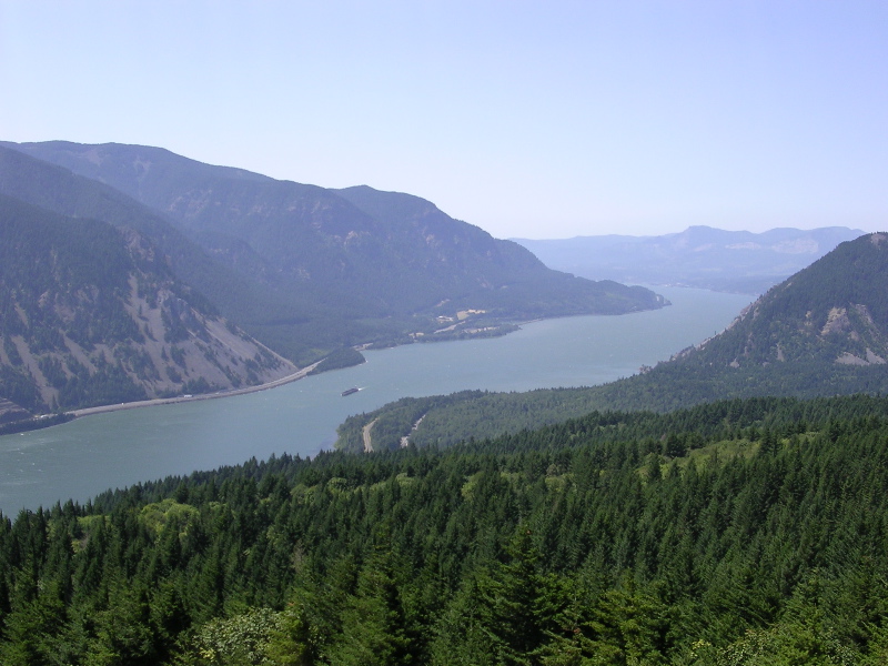
 Photo: Robert Ashworth from Bellingham, WA., USA, CC BY 2.0 (via Wikimedia Commons)
- 0.5 mi
- round trip
- 275 ft
- climb
- 1,137 ft
- high point
- Out and back
- route
- Apr–Jun, Sep–Oct
- best months
Chelan Riverwalk Loop is a 1.0-mile out-and-back trail in Washington with 275 feet of elevation gain and loss. The trail reaches a maximum elevation of 1,137 feet.
Local outfitters
- Icicle River RV Resort37 mi away
- Crescent Bar Recreation Area43 mi away
Not on Roamze yet. Their page has how to reach them.
- Chelan Butte TrailHiking · ~1 min drivePhoto: Robert Ashworth from Bellingham, WA., USA, CC BY 2.0 (via Wikimedia Commons)
- Reach 1 TrailHiking · ~1 min drivePhoto: Robert Ashworth from Bellingham, WA., USA, CC BY 2.0 (via Wikimedia Commons)
 COOPER MOUNTAIN SNOMOHiking · ~17 min drivePhoto: brewbooks from near Seattle, USA, CC BY-SA 2.0 (via Wikimedia Commons)
- Chelan Bob TrailHiking · ~4 min drive
- Fourth of July MountainHiking · ~18 min drive
- Cultus Jim TrailHiking · ~4 min drive
- GRADE CREEK SNOMOHiking · ~17 min drive
- BOBS TRAIL SNOWSHOEHiking · ~11 min drive
- NORTH FORK 25 MILE CREEKHiking · ~27 min drive
- Toad Creek TrailHiking · ~4 min drive
Best time to visit Chelan Riverwalk Loop
Best months: April–June and September–October. Best months have typical highs of 55–85 °F, lows of 30 °F or warmer (32 °F where the station doesn't record snow), at most one snowy day and no more than 12 wet days.
Jan
34° / 22°
9 wet
Feb
42° / 24°
7 wet
Mar
52° / 30°
7 wet
Apr
62° / 38°
5 wet
May
72° / 46°
6 wet
Jun
78° / 53°
5 wet
Jul
87° / 59°
3 wet
Aug
87° / 58°
2 wet
Sep
77° / 49°
3 wet
Oct
62° / 39°
6 wet
Nov
46° / 29°
8 wet
Dec
35° / 23°
10 wet
Typical high / low (°F) and days with rain or snow, 1991–2020. Measured at Chelan, WA, 1 mi away at 1,194 ft. This station doesn't record snowfall. Source: NOAA NCEI U.S. Climate Normals 1991–2020.
Map and trail data © OpenStreetMap contributors
