Columbia River
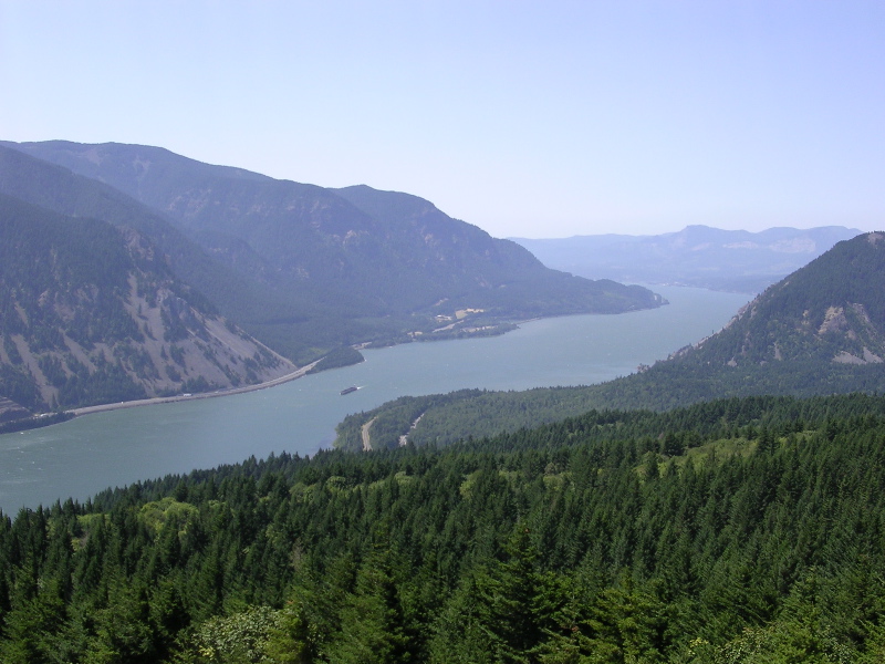 Photo: The original uploader was Cacophony at English Wikipedia., CC BY-SA 3.0 (via Wikimedia Commons)
- 0.1 mi
- distance
- 800 ft
- high point
- Apr–Jun, Sep–Oct
- best months
The Columbia River in Washington is a canoeing destination about a mile from the town of Azwell. It sits within the Columbia River corridor, close to the Chief Joseph Dam, and is a short drive from the dam's surrounding area. For comfortable paddling, late spring and early fall are the best bets. Typical averages from the nearby Chief Joseph Dam weather station show May highs around 74°F and September highs around 80°F, while July and August average about 90°F. Winter brings highs in the mid-30s and several snowy days a month from December through February. Several hikes lie within about 10 miles, including Lower Ridge View and Upper Ridge View, both around 8 miles away, and Bergman Gulch Trail and Cooper Mountain Snomo, each just under 10 miles off.
Local outfitters
- Coulee Lodge Resort33 mi away
- Coulee Playland39 mi away
Not on Roamze yet. Their page has how to reach them.
- Lower Ridge ViewHiking7.7 mi
- Upper Ridge ViewHiking8 mi
- BOBS TRAIL SNOWSHOEHiking8.6 mi
- Bergman Gulch TrailHiking8.8 mi
 COOPER MOUNTAIN SNOMOHikingPhoto: brewbooks from near Seattle, USA, CC BY-SA 2.0 (via Wikimedia Commons)9.8 mi
- Cultus Jim TrailHiking9.9 mi
- Chelan Bob TrailHiking9.9 mi
Source: Roamze catalog (indexable pages within 10 miles, PostGIS distance)
- Frazer CreekCanoeing · ~50 min drive
- Bridge One Boat LaunchBoat launch · ~17 min drive
- Tumwater Group SiteTubing · ~1h 16m drive
- Mad RiverCanoeing · ~54 min drive
- Public boat launch (Lake Rufus Woods)Boat launch · ~20 min drive
- Beaver CreekCanoeing · ~55 min drive
- Jameson LakeBoat launch · ~37 min drive
- Salmon CreekCanoeing · ~1h 1m drive
- Jameson LakeBoat launch · ~37 min drive
- Eagle CreekCanoeing · ~1h 7m drive
Best time to visit Columbia River
Best months: April–June and September–October. Best months have typical highs of 55–85 °F, lows of 30 °F or warmer (32 °F where the station doesn't record snow), at most one snowy day and no more than 12 wet days.
Jan
34° / 23°
10 wet · 5 snow
Feb
42° / 25°
7 wet · 2 snow
Mar
54° / 32°
6 wet · 1 snow
Apr
64° / 38°
5 wet
May
74° / 46°
6 wet
Jun
81° / 52°
5 wet
Jul
91° / 58°
3 wet
Aug
90° / 58°
2 wet
Sep
80° / 49°
3 wet
Oct
63° / 38°
5 wet
Nov
45° / 29°
9 wet · 2 snow
Dec
35° / 23°
11 wet · 7 snow
Typical high / low (°F) and days with rain or snow, 1991–2020. Measured at Chief Joseph Dam, WA, 10.5 mi away at 834 ft. Source: NOAA NCEI U.S. Climate Normals 1991–2020.
