Moss Creek campground
Campground
Campground · 4.7 mi from the trail
Buck Creek Trail is a short, easy out-and-back hike in Washington, managed by the State Department of Natural Resources. The trail is about 1.6 miles long, with a total elevation gain of 612 feet, and it starts and ends at roughly 1,384 feet. The high point on the route reaches about 1,604 feet, and the steepest stretch comes at about 0.7 miles in, with a grade of about 21 percent. Summer is the most comfortable time to go. Typical averages from a nearby weather station in Snowden put July and August highs around 79°F with lows near 49°F, while winter highs there stay in the upper 30s. The trip takes about an hour. The trail is close to several other outings. Weldon Wagon Trail and Bz Falls are both within about 4 miles, and Moss Creek campground and the Little White Salmon River are about 4.7 miles away.
Moss Creek campground
Campground
 Eat afterVisitor7, CC BY-SA 3.0 · Wikimedia Commons
Double Mountain Brewery
Brewery
 If it rainsJmasterson, CC BY-SA 3.0 · Wikimedia Commons
Western Antique Aeroplane & Automobile Museum
Museum
Aviation and automobile museum in Oregon, United States
Places © OpenStreetMap contributors · Photos: Visitor7, CC BY-SA 3.0 (commons); Jmasterson, CC BY-SA 3.0 (commons)
More in Trout LakeNot on Roamze yet. Their page has how to reach them.
 Little White Salmon RiverCanoeingPhoto: William de Chastignier Ravenel, Public domain (via Wikimedia Commons)4.7 mi
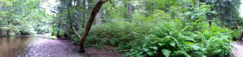 Moss Creek campgroundCampingPhoto: Recreation.gov (RIDB) / public domain4.7 mi
 Oklahoma campgroundCampingPhoto: Recreation.gov (RIDB) / public domain6.3 mi
 Wankers ColumnsRock climbingPhoto: Stumbling Photographer, CC BY 2.0 (via Flickr)9.8 mi
Source: Roamze catalog (indexable pages within 10 miles, PostGIS distance)
 Hood River Penstock Pipeline TrailHiking · ~13 min drivePhoto: msprague, CC BY-SA 2.0 (via Flickr)
 Mitchell Point TrailHiking · ~13 min drivePhoto: Glenn Scofield Williams from Portland, Oregon, USA, CC BY 2.0 (via Wikimedia Commons)
 Wygant TrailHiking · ~15 min drivePhoto: mjfmjfmjf, CC BY 2.0 (via Flickr)
 Old Ranch RoadHiking · ~17 min drivePhoto: Stumbling Photographer, CC BY 2.0 (via Flickr)
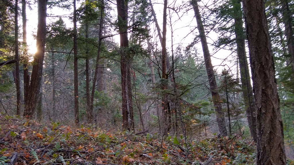 140 TrailHiking · ~15 min drivePhoto: mjfmjfmjf, CC BY 2.0 (via Flickr)
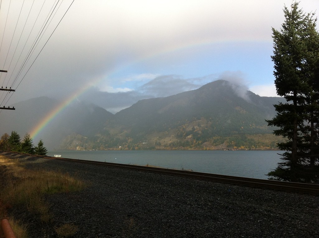 Chetwoot Loop TrailHiking · ~15 min drivePhoto: Hugh_Mann_Photo, CC BY-SA 2.0 (via Flickr)
 Coyote Cliffs TrailHiking · ~17 min drivePhoto: Jerry Huddleston from Hampton, Minnesota, US, CC BY 2.0 (via Wikimedia Commons)
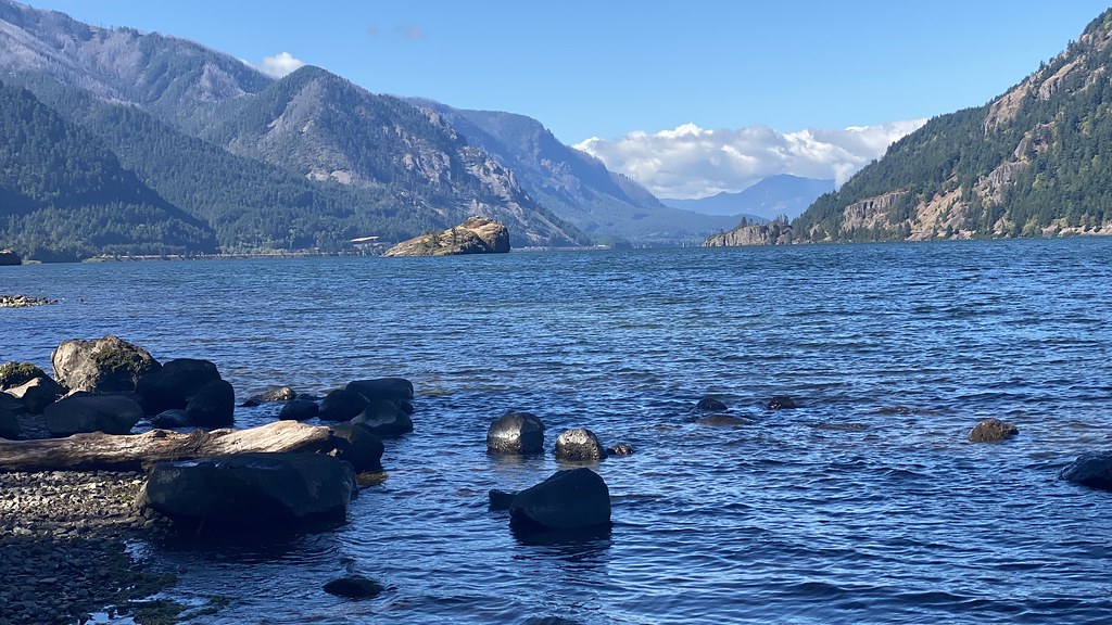 Water Tank TrailHiking · ~16 min drivePhoto: lamblukas, CC BY 2.0 (via Flickr)
Best months: April–October. Best months have typical highs of 55–85 °F, lows of 30 °F or warmer (32 °F where the station doesn't record snow), at most one snowy day and no more than 12 wet days.
Jan
38° / 25°
Feb
42° / 26°
Mar
48° / 30°
Apr
55° / 35°
May
63° / 40°
Jun
68° / 44°
Jul
79° / 49°
Aug
79° / 49°
Sep
72° / 45°
Oct
58° / 37°
Nov
45° / 31°
Dec
36° / 25°
Typical high / low (°F) and days with rain or snow, 1991–2020. Measured at Snowden, WA, 9.2 mi away at 2,415 ft. The station sits about 800 ft higher than this place, so expect it a little warmer here. This station doesn't record snowfall. Source: NOAA NCEI U.S. Climate Normals 1991–2020.
Map and trail data © OpenStreetMap contributors
