Bluff Trail
- 0.4 mi
- round trip
- 527 ft
- climb
- 174 ft
- high point
- Out and back
- route
- Apr–Sep
- best months
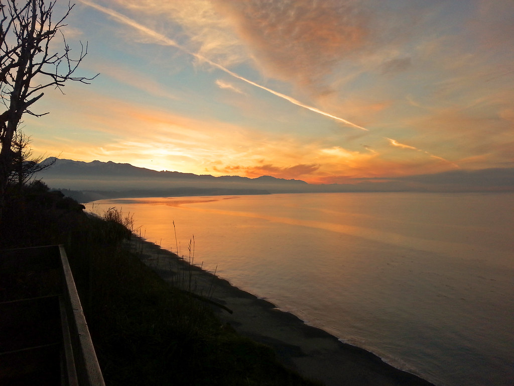
Bluff Trail is a short, easy out-and-back hike in Washington, about 2.3 miles from Old Town. The trail runs roughly 0.78 miles, with the high point at 174 feet and the low point at 36 feet. The route is rolling, with a total elevation gain and loss of about 527 feet. The steepest stretch comes around 0.34 miles in, with an 8% grade. Summer is the most comfortable time to go. A nearby weather station in Sequim, about 7 miles away, records typical July and August highs around 70°F with only about five wet days a month, while winter brings highs in the mid-40s and rain on most days. The trip takes about half an hour. Primitive Trail lies just 0.4 miles away, and Dungeness Levee Setback Foot Path is about 2.7 miles off. For paddling, Siebert Creek and McDonald Creek are both about 6 miles away.
Local outfitters
- Salish Trails Campground6 mi away
- John Wayne's Waterfront Resort9 mi away
Not on Roamze yet. Their page has how to reach them.
- Primitive TrailHiking0.4 mi
- Dungeness Levee Setback Foot PathHiking2.7 mi
- Siebert CreekCanoeing6 mi
- McDonald CreekCanoeing6.4 mi
Source: Roamze catalog (indexable pages within 10 miles, PostGIS distance)
 Gray Wolf/Camp Tony TrailHiking · ~24 min drivePhoto: U.S. Forest Service- Pacific Northwest Region, Public domain (via Wikimedia Commons)
 Heather Park TrailHiking · ~24 min drivePhoto: sf-dvs, CC BY 2.0 (via Wikimedia Commons)
 Lake Angeles TrailHiking · ~25 min drivePhoto: Robert Ashworth from Bellingham, WA., USA, CC BY 2.0 (via Wikimedia Commons)
 Lower Uproot (Climb Trail)Hiking · ~26 min drivePhoto: Staxilicious, CC BY-SA 3.0 (via Wikimedia Commons)
 Hurricane Ridge to Klahhane Ridge TraiHiking · ~28 min drivePhoto: Scott Thompson, CC BY 3.0 (via Wikimedia Commons)
- Three Forks TrailHiking · ~25 min drive
- DEER RIDGEHiking · ~21 min drive
 Sleepy Hollow Extention TrailHiking · ~27 min drivePhoto: U.S. Forest Service- Pacific Northwest Region, Public domain (via Wikimedia Commons)
- Slab Camp TrailHiking · ~24 min drivePhoto: U.S. Forest Service- Pacific Northwest Region, Public domain (via Wikimedia Commons)
- Upper Gray Wolf TrailHiking · ~25 min drive
Best time to visit Bluff Trail
Best months: April–September. Best months have typical highs of 55–85 °F, lows of 30 °F or warmer (32 °F where the station doesn't record snow), at most one snowy day and no more than 12 wet days.
Jan
46° / 32°
16 wet
Feb
48° / 32°
14 wet
Mar
51° / 35°
14 wet
Apr
56° / 38°
12 wet
May
61° / 44°
11 wet
Jun
65° / 49°
9 wet
Jul
70° / 51°
5 wet
Aug
70° / 51°
5 wet
Sep
66° / 46°
9 wet
Oct
57° / 40°
13 wet
Nov
50° / 35°
16 wet
Dec
46° / 32°
17 wet
Typical high / low (°F) and days with rain or snow, 1991–2020. Measured at Sequim 2 E, WA, 7.2 mi away at 50 ft. This station doesn't record snowfall. Source: NOAA NCEI U.S. Climate Normals 1991–2020.

Map and trail data © OpenStreetMap contributors
