Twin Lakes State Park
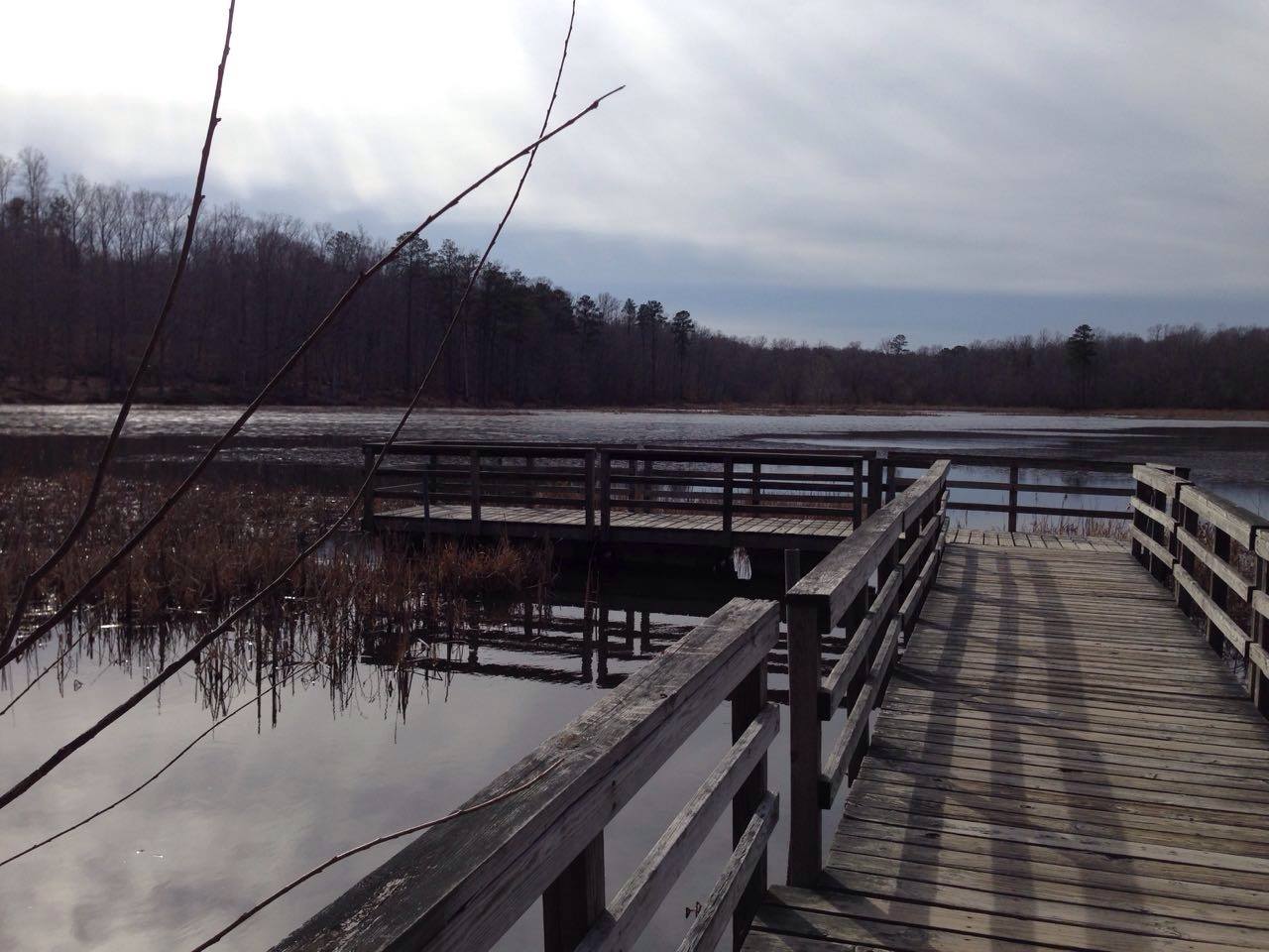
 Photo: Virginia State Parks staff, CC BY 2.0 (via Wikimedia Commons)
- State Department of Conservation
- managed by
- Mar–Jun, Sep–Nov
- best months
Twin Lakes State Park is a Virginia state park managed by the State Department of Conservation, about 4.6 miles from the town of Burkeville. The park serves as a base for a cluster of short trails, with several starting within a mile of one another. Spring and fall are the most comfortable times to visit. Typical averages from a nearby weather station show May highs around 76°F and October highs near 69°F, while July averages climb to about 89°F. Beaver Point Trail and Otter's Path Trail both lie about 0.3 miles away, and Dogwood Hollow Trail is about 0.4 miles off. Paddlers can reach the Bush River, roughly 6.5 miles away.
Park size
934 acres
Inside this park
Campgrounds
- Beaver Point TrailHiking0.3 mi
- Otter's Path TrailHiking0.3 mi
- Dogwood Hollow TrailHiking0.4 mi
- Gallion Multi-Use TrailHiking0.9 mi
- Bush RiverCanoeing6.5 mi
 Stagg TrailHikingPhoto: vastateparksstaff, CC BY 2.0 (via Wikimedia Commons)9.5 mi
- Kershaw TrailHikingPhoto: vastateparksstaff, CC BY 2.0 (via Wikimedia Commons)9.5 mi
- Custis Lee TrailHikingPhoto: vastateparksstaff, CC BY 2.0 (via Wikimedia Commons)9.5 mi
Source: Roamze catalog (indexable pages within 10 miles, PostGIS distance)
 Sailors Creek Battlefield State ParkState park · ~16 min drivePhoto: Virginia State Parks staff, CC BY 2.0 (via Wikimedia Commons)
 Bear Creek Lake State ParkState park · ~42 min drivePhoto: Virginia State Parks staff, CC BY 2.0 (via Wikimedia Commons)
 Holliday Lake State ParkState park · ~43 min drivePhoto: Cecouchman, CC BY-SA 3.0 (via Wikimedia Commons)
 Staunton River Battlefield State ParkState park · ~53 min drivePhoto: Virginia State Parks, CC BY 2.0 (via Wikimedia Commons)
 Staunton River State ParkState park · ~1h 7m drivePhoto: Virginia State Parks staff, CC BY 2.0 (via Wikimedia Commons)
 Powhatan State ParkState park · ~1h 8m drivePhoto: Wikipelli, CC BY-SA 4.0 (via Wikimedia Commons)
 Occoneechee State ParkState park · ~1h 10m drivePhoto: Wikipelli, CC BY-SA 4.0 (via Wikimedia Commons)
 Pocahontas State ParkState park · ~1h 10m drivePhoto: Wikipelli, CC BY-SA 4.0 (via Wikimedia Commons)
 James River State ParkState park · ~1h 14m drivePhoto: Wikipelli, CC BY-SA 4.0 (via Wikimedia Commons)
 Kerr Lake State Recreation AreaState park · ~1h 22m drivePhoto: bobistraveling, CC BY 2.0 (via Wikimedia Commons)
Best time to visit Twin Lakes State Park
Best months: March–June and September–November. Best months have typical highs of 55–85 °F, lows of 30 °F or warmer (32 °F where the station doesn't record snow), at most one snowy day and no more than 12 wet days.
Jan
47° / 28°
Feb
51° / 29°
Mar
59° / 36°
Apr
70° / 46°
May
76° / 54°
Jun
84° / 63°
Jul
89° / 68°
Aug
86° / 66°
Sep
80° / 59°
Oct
69° / 47°
Nov
59° / 37°
Dec
50° / 31°
Typical high / low (°F) and days with rain or snow, 1991–2020. Measured at Greenbay 3 Ne, VA, 0.3 mi away at 500 ft. We don't have this place's elevation, so higher spots nearby can run cooler. This station doesn't record snowfall. Source: NOAA NCEI U.S. Climate Normals 1991–2020.
