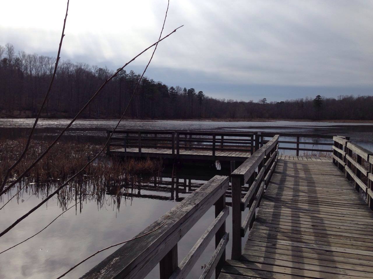
Pocahontas State Park
About
Pocahontas State Park is a Virginia state park managed by the State Department of Conservation, about 6 miles from the town of Brandermill. It serves as a base for a network of hiking, mountain biking and paddling routes in the surrounding area. Spring and fall are the most comfortable times to visit. Typical averages from a nearby weather station in Petersburg show highs around 70°F in April and 72°F in October, while July highs average about 89°F. Within a mile of the park sit the Gill Forest Trail and the Clark Forest Trail, and the Lakeview Spur offers mountain biking about 1.4 miles away. Paddlers can head to Licking Creek, roughly 3.4 miles off.
Park size
15,946 acres
Inside this park
Trails
Location
Pocahontas State Park
Virginia
Data source: USGS PAD-US 4.1 (Protected Areas Database, public domain)
Facts about this place
When to go
Best time to go: Mar–May. The mildest months here, with typical highs of 60–78°F and lows of 36–55°F.
Typical monthly averages (not a forecast) from the Petersburg, VA weather station, 13 mi away. High / low in °F.
- Jan49° high28° low
- Feb52° high29° low
- Mar60° high36° low
- Apr70° high46° low
- May78° high55° low
- Jun86° high64° low
- Jul89° high69° low
- Aug87° high67° low
- Sep82° high61° low
- Oct72° high48° low
- Nov61° high37° low
- Dec53° high31° low
Where it is
- Pocahontas State Park · State park
- Nearest town
- Brandermill, Virginia · 6.2 mi
- Managed by
- State Department of Conservation
Nearby
- Gill Forest TrailHiking0.8 mi
- Clark Forest TrailHiking0.8 mi
- Lakeview Too LoopHiking1.4 mi
- Powhatan TrailHiking1.4 mi
- Lakeview SpurMountain biking1.4 mi
- Lakeview I LoopMountain biking1.5 mi
- Beaver Lake TrailHiking1.5 mi
- Licking CreekCanoeing3.4 mi
Source: Roamze catalog (indexable pages within 10 miles, PostGIS distance)
