Sailors Creek Battlefield State Park
 Photo: Virginia State Parks staff, CC BY 2.0 (via Wikimedia Commons)
- State Department of Conservation
- managed by
- Mar–Jun, Sep–Nov
- best months
Sailors Creek Battlefield State Park is a 637-acre state park in Virginia, about 8 miles from the town of Burkeville. It is managed by the State Department of Conservation, and its acreage takes in a network of short trails, several of which begin within a few tenths of a mile of one another inside the park. Spring and fall tend to be the most comfortable times to visit. Typical averages from a nearby weather station in Farmville show October highs around 71°F with lows near 46°F, and April highs around 69°F, while July highs typically climb to about 88°F. The closest trails are the Kershaw and Stagg trails, each about a tenth of a mile away, with the Custis Lee Trail at roughly two tenths of a mile. Farther out, Flat Creek offers canoeing about 9 miles away.
Park size
637 acres
 Kershaw TrailHikingPhoto: vastateparksstaff, CC BY 2.0 (via Wikimedia Commons)0.1 mi
- Stagg TrailHikingPhoto: vastateparksstaff, CC BY 2.0 (via Wikimedia Commons)0.1 mi
- Custis Lee TrailHikingPhoto: vastateparksstaff, CC BY 2.0 (via Wikimedia Commons)0.2 mi
 Wheaton TrailHikingPhoto: vastateparksstaff, CC BY 2.0 (via Wikimedia Commons)0.5 mi
- Spur Line TrailHiking4.7 mi
- Camp Paradise TrailHiking4.8 mi
- Dearing TrailMountain biking7.7 mi
- Flat CreekCanoeing9.1 mi
Source: Roamze catalog (indexable pages within 10 miles, PostGIS distance)
 Twin Lakes State ParkState park · ~16 min drivePhoto: Virginia State Parks staff, CC BY 2.0 (via Wikimedia Commons)
 Bear Creek Lake State ParkState park · ~27 min drivePhoto: Virginia State Parks staff, CC BY 2.0 (via Wikimedia Commons)
 Holliday Lake State ParkState park · ~40 min drivePhoto: Cecouchman, CC BY-SA 3.0 (via Wikimedia Commons)
 Powhatan State ParkState park · ~52 min drivePhoto: Wikipelli, CC BY-SA 4.0 (via Wikimedia Commons)
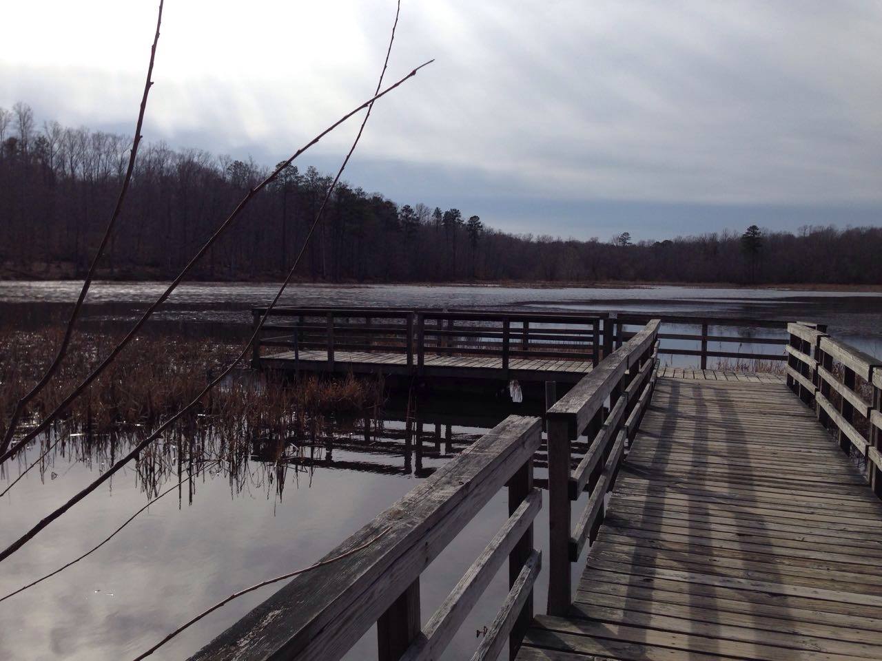 Pocahontas State ParkState park · ~1h 2m drivePhoto: Wikipelli, CC BY-SA 4.0 (via Wikimedia Commons)
 James River State ParkState park · ~1h 7m drivePhoto: Wikipelli, CC BY-SA 4.0 (via Wikimedia Commons)
 Staunton River Battlefield State ParkState park · ~1h 7m drivePhoto: Virginia State Parks, CC BY 2.0 (via Wikimedia Commons)
 Staunton River State ParkState park · ~1h 23m drivePhoto: Virginia State Parks staff, CC BY 2.0 (via Wikimedia Commons)
- High Bridge Trail State ParkState park · ~15 min drive
- Manchester ParkState park · ~1h 11m drive
Best time to visit Sailors Creek Battlefield State Park
Best months: March–June and September–November. Best months have typical highs of 55–85 °F, lows of 30 °F or warmer (32 °F where the station doesn't record snow), at most one snowy day and no more than 12 wet days.
Jan
48° / 26°
8 wet
Feb
51° / 27°
7 wet
Mar
59° / 34°
9 wet
Apr
69° / 43°
9 wet
May
76° / 54°
10 wet
Jun
84° / 63°
9 wet
Jul
88° / 67°
9 wet
Aug
87° / 66°
9 wet
Sep
80° / 59°
8 wet
Oct
71° / 46°
8 wet
Nov
60° / 35°
8 wet
Dec
51° / 29°
8 wet
Typical high / low (°F) and days with rain or snow, 1991–2020. Measured at Farmville 2 N, VA, 8.9 mi away at 450 ft. We don't have this place's elevation, so higher spots nearby can run cooler. This station doesn't record snowfall. Source: NOAA NCEI U.S. Climate Normals 1991–2020.
