Overlook Trail
- 0.6 mi
- round trip
- 568 ft
- climb
- 1,967 ft
- high point
- Out and back
- route
- Mar–Nov
- best months
Is Overlook Trail open right now?
Closure in the area
There's a closure order in George Washington and Jefferson National Forest. It doesn't name Overlook Trail, so check the source for the area it covers (2 listed).
Enchanted Creek Road (National Forest System Road 1881) will be closed for repairs until 12/31/27
Agency closure covering George Washington and Jefferson National Forest · USFS · George Washington and Jefferson National Forest
Bolar Mountain Recreation Area - Twin Ridge Road Closure
Agency closure covering George Washington and Jefferson National Forest · USFS · George Washington and Jefferson National Forest
Prescribed Fire Operations Mount Rogers National Recreation Area- Porter and Little Mountain
Agency alert covering George Washington and Jefferson National Forest · USFS · George Washington and Jefferson National Forest
Road Closures James River and Warm Springs Ranger District
Agency alert covering George Washington and Jefferson National Forest · USFS · George Washington and Jefferson National Forest
Virginia Creeper National Recreation Trail Closure Update
Agency alert covering George Washington and Jefferson National Forest · USFS · George Washington and Jefferson National Forest
As of · Source: USFS · George Washington and Jefferson National Forest. Agencies don't list every closure — check before you go.
Overlook Trail is an easy out-and-back hike of about 1.1 miles in Virginia's Breaks Interstate Park, on the Clinch Ranger District of the George Washington and Jefferson National Forest. The trail climbs about 380 feet one way, with a total round trip of about 570 feet, and the steepest stretch comes at roughly the halfway mark. The trail's high point is 1,967 feet, and the start sits at 1,773 feet. The rolling climb makes it a short, manageable outing. October is a comfortable time to go, with typical highs around 66°F and lows near 43°F, based on averages from a nearby weather station. Summer is the warmest stretch, with typical highs in the low 80s. The climb sits right alongside the Breaks Interstate Park, and State Line Overlook and Business Time Crag are both about 0.1 mile away. The Pine Mountain State Scenic Trail - Birch Knob Section is about 0.6 mile off.
- State Line OverlookRock climbing0.1 mi
- Business Time CragRock climbing0.1 mi
- Prospector's RoofRock climbing0.2 mi
- Pine Mountain State Scenic Trail - Birch Knob SectionHiking0.6 mi
- Prospector TrailHiking0.6 mi
- Laurel Branch TrailHiking0.6 mi
- John W. Flannagan Day UseCamping4.4 mi
- Pound RiverRiver fishing7 mi
Source: Roamze catalog (indexable pages within 10 miles, PostGIS distance)
 Pine Mountain State Scenic Trail - Birch Knob SectionHiking · ~2 min drivePhoto: Gamma Man, CC BY 2.0 (via Flickr)
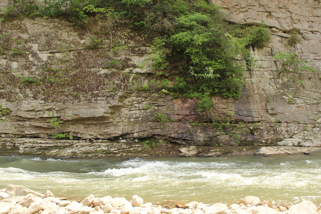 Pine Mountain State Scenic TrailHiking · ~3 min drivePhoto: Gamma Man, CC BY 2.0 (via Flickr)
- Laurel Branch TrailHiking · ~1 min drive
- Pine Mountain State Scenic Trail - Birch Knob SectionHiking · ~33 min drive
 Pine Mountain State Scenic Trail - Birch Knob SectionHiking · ~4 min drivePhoto: Gamma Man, CC BY 2.0 (via Flickr)
- Trail 4 (Green)Hiking · ~40 min drive
- Loop TrailHiking · ~1 min drive
- Pine Mountain State Scenic Trail - Highland SectionHiking · ~35 min drive
- Pine Mountain State Scenic Trail - Birch Knob SectionHiking · ~1 min drive
- Bobs GapHiking · ~21 min drive
Best time to visit Overlook Trail
Best months: March–November. Best months have typical highs of 55–85 °F, lows of 30 °F or warmer (32 °F where the station doesn't record snow), at most one snowy day and no more than 12 wet days.
Jan
43° / 23°
Feb
47° / 26°
Mar
56° / 32°
Apr
67° / 40°
May
73° / 50°
Jun
80° / 58°
Jul
82° / 62°
Aug
82° / 62°
Sep
77° / 55°
Oct
66° / 43°
Nov
55° / 33°
Dec
46° / 27°
Typical high / low (°F) and days with rain or snow, 1991–2020. Measured at Breaks Interstate Park, VA, 0.9 mi away at 1,893 ft. This station doesn't record snowfall. Source: NOAA NCEI U.S. Climate Normals 1991–2020.

Map and trail data © OpenStreetMap contributors
