Loading…

Free — you'll pick up right here.
Watch this water
Sign up to watch it — saving subscribes you to gate, closure and report changes.
Virginia
We won't guess. Here is exactly what we do and don't know.
What we do know
Inside George Washington and Jefferson National Forest
2 managing-area boundaries mapped — agency alerts for them feed this page automatically.
Boundary data
What's missing
No access route mapped
We don't yet know which road reaches this trailhead, so we can't tell you if it's gated.
Nobody's filed a report here yet — be the first.
Why you'll love it
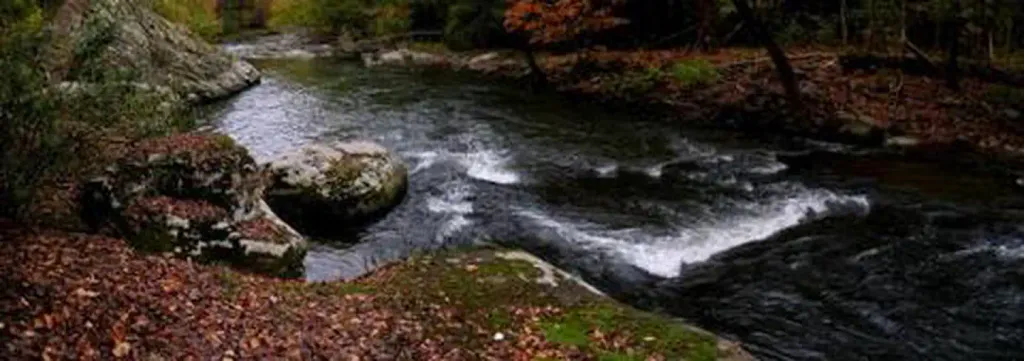
Laurel Lake
AI-suggested draft · review before you go
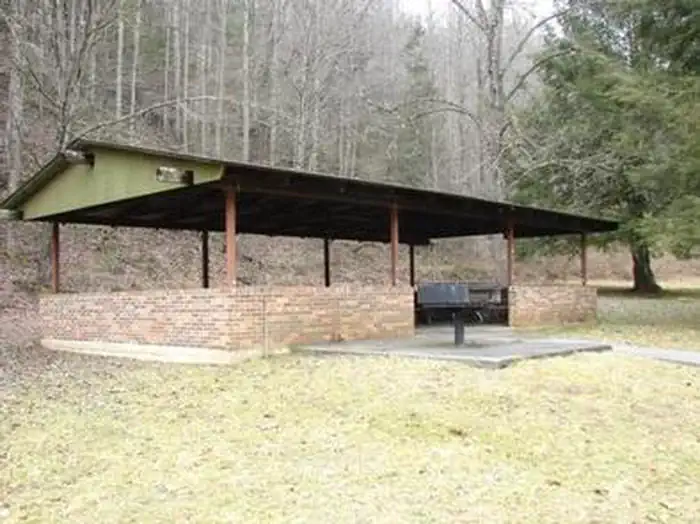
Phillip's Creek Group Picnic Area
~41 min drive
A worthwhile stop near Virginia.
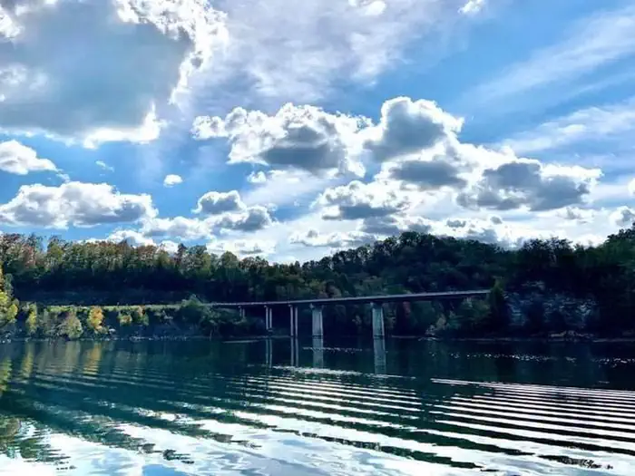
John W. Flannagan Day Use
~8 min drive
A worthwhile stop near Virginia.
R.d. Bailey Lake Group Shelters
~1h 2m drive
A worthwhile stop near West Virginia.
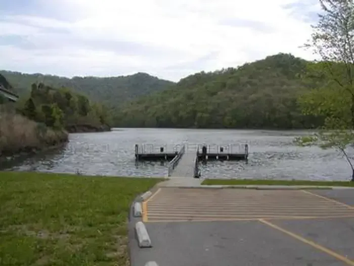
Carr Creek Lake Shelters
~1h 10m drive
A worthwhile stop near Kentucky.
Paintsville Lake State Park
~1h 19m drive
Moderate
Pound River - Flannagan Tailwater
~13 min drive
Easy

Dewey Lake Shelter
~1h 8m drive
A worthwhile stop near Kentucky.
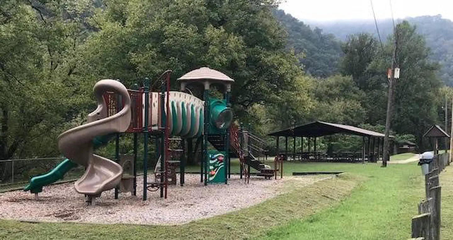
Fishtrap Lake Shelters
~18 min drive
A worthwhile stop near Kentucky.
Clinch River - Cleveland Access
~41 min drive
Moderate
North Fork Holston River - Saltville Access
~1h 10m drive
Easy