Sucker Brook Shelter
Campground
Campground · 1.5 mi from the trail
Closure in the area
There's a closure order in Green Mountain and Finger Lakes National Forests. It doesn't name Gillespie Peak, so check the source for the area it covers (3 listed).
Klondike Fire Incident Report
Agency closure covering Green Mountain and Finger Lakes National Forests · USFS · Green Mountain and Finger Lakes National Forests
Heavily damaged or closed trails
Agency closure covering Green Mountain and Finger Lakes National Forests · USFS · Green Mountain and Finger Lakes National Forests
Glastenbury fire tower is closed to public use
Agency closure covering Green Mountain and Finger Lakes National Forests · USFS · Green Mountain and Finger Lakes National Forests
Moosalamoo Campground Water System
Agency alert covering Green Mountain and Finger Lakes National Forests · USFS · Green Mountain and Finger Lakes National Forests
As of · Source: USFS · Green Mountain and Finger Lakes National Forests. Agencies don't list every closure — check before you go.
Gillespie Peak is a summit in Vermont's Joseph Battell Wilderness, part of the Rochester Ranger District of the Green Mountain and Finger Lakes National Forests. Brandon, about 7 miles away, is the nearest town. Close by, the Hogback Loop Trail offers more hiking about 1.4 miles away, and Sucker Brook Shelter sits about 1.5 miles off. Halfdan Kuhnle provides cross-country skiing within about 1.3 miles, while Bingo Brook campground lies roughly 3.2 miles away.
Sucker Brook Shelter
Campground
 If it rainsSMHCNorwich, CC BY-SA 4.0 · Wikimedia Commons
Places © OpenStreetMap contributors · Photos: SMHCNorwich, CC BY-SA 4.0 (commons)
More in RandolphDaily highs and lows, wind and the chance of precipitation at the summit and route start for the next 7 days, from the Open-Meteo model.
Elevation from USGS 3D Elevation Program terrain data (about 10 m resolution).
3,359 ft (1,024 m).
One: Long Trail.
 Lake Dunmore/Falls of LanaRock climbingPhoto: Boston Public Library, CC BY 2.0 (via Wikimedia Commons)4.9 mi
Source: Roamze catalog (indexable pages within 10 miles, PostGIS distance)
 Grandpa KnobSummit · ~28 min drivePhoto: Jc3s5h, CC BY-SA 4.0 (via Wikimedia Commons)
 Mount AbrahamSummit · ~30 min drivePhoto: User:Magicpiano, CC BY-SA 4.0 (via Wikimedia Commons)
 Pico PeakSummit · ~30 min drivePhoto: Sir Joseph, CC BY 2.5 (via Wikimedia Commons)
 Snake MountainSummit · ~34 min drivePhoto: Michael Kostiuk, CC BY-SA 3.0 (via Wikimedia Commons)
 Killington PeakSummit · ~34 min drivePhoto: petersent, Public domain (via Wikimedia Commons)
 Mount EllenSummit · ~34 min drivePhoto: dvs, CC BY 2.0 (via Wikimedia Commons)
 Mount DefianceSummit · ~37 min drivePhoto: Mwanner, CC BY-SA 3.0 (via Wikimedia Commons)
 Mount TomSummit · ~48 min drivePhoto: Efitzpatrick1413, CC BY-SA 4.0 (via Wikimedia Commons)
 Mount Ethan AllenSummit · ~51 min drivePhoto: Niranjan Arminius, CC BY-SA 4.0 (via Wikimedia Commons)
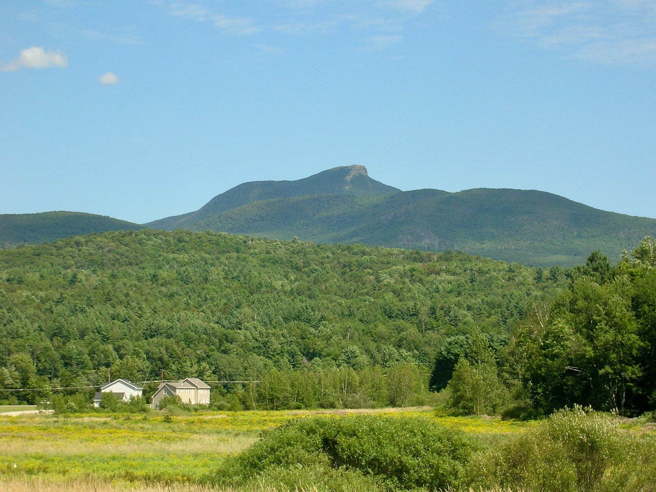 Camels HumpSummit · ~54 min drivePhoto: Niranjan Arminius, CC BY-SA 4.0 (via Wikimedia Commons)
