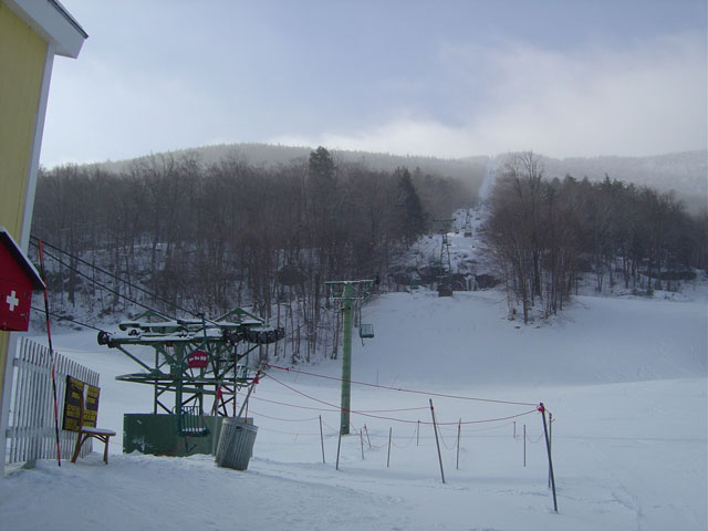
Maple Hill Campsites
Campground
Campground · 4.1 mi from the trail
 Photo: dvs, CC BY 2.0 (via Wikimedia Commons)
Clear at last check
Weather is good · OpenWeather · checked 20 h ago
The Jerusalem Trail is a 4.4-mile out-and-back hike in Vermont, starting at an elevation of 3,439 feet and reaching a high point of 3,439 feet. That makes it a back-loaded climb, with the steepest stretch at the start, where the grade reaches 30%, and the total gain and loss for the round trip both come to 1,896 feet. The trail is about 2 miles from the town of Jerusalem. The route is rated moderate, and the trip takes about 2.5 hours. The Long Trail passes within a mile, and the Catamount Trail and Enchanted Forest Trail are both within about 3 miles. Paddlers can find Lewis Creek about 6 miles away.
Maple Hill Campsites
Campground
Glen House
Restaurant
 If it rainsVermontMaple, Public domain · Wikimedia Commons
Places © OpenStreetMap contributors · Photos: VermontMaple, Public domain (commons)
More in South BurlingtonLong TrailHikingPhoto: dvs, CC BY 2.0 (via Wikimedia Commons)0.7 mi Mad RiverCanoeingPhoto: USEPA Environmental-Protection-Agency, Public domain (via Wikimedia Commons)9.1 mi
Source: Roamze catalog (indexable pages within 10 miles, PostGIS distance)
Long TrailHiking · ~1 min drivePhoto: dvs, CC BY 2.0 (via Wikimedia Commons) Allis TrailHiking · ~15 min drivePhoto: matt.a, CC BY 3.0 (via Wikimedia Commons)
 Dean TrailHiking · ~16 min drivePhoto: matt.a, CC BY 3.0 (via Wikimedia Commons)
 Honey Hollow TrailHiking · ~21 min drivePhoto: Magicpiano, CC BY-SA 4.0 (via Wikimedia Commons)Forest City TrailHiking · ~15 min drivePhoto: matt.a, CC BY 3.0 (via Wikimedia Commons)
 Lost TrailHiking · ~19 min drivePhoto: Magicpiano, CC BY-SA 4.0 (via Wikimedia Commons)Alpine TrailHiking · ~17 min drivePhoto: matt.a, CC BY 3.0 (via Wikimedia Commons)
 Eagle's TrailHiking · ~20 min drivePhoto: Magicpiano, CC BY-SA 4.0 (via Wikimedia Commons)
Map and trail data © OpenStreetMap contributors