Green Mountain Family Campground
Campground
Campground · 4.8 mi from the trail
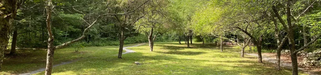
The Trail Around Middlebury is a short, easy walk in Middlebury, Vermont, set within Battell Woods Natural Area on city land. The route is about 0.6 miles long, with a total climb of about 58 feet, and it makes a quick out-and-back from the town. Summer is the most comfortable time to go. Typical averages from a nearby weather station in Cornwall show July highs around 80°F with lows near 60°F, while winter brings highs in the 20s and regular snow days from December through February. Several other spots sit close by. High Power, a mountain biking area, is about 0.6 miles away, and the Tam hike is about 0.9 miles off. Climbers can head to Waterfall Boulders, about 3.4 miles away, and paddlers will find the Middlebury River about 5 miles from town.
Green Mountain Family Campground
Campground
 If it rainsVermontMaple, Public domain · Wikimedia Commons
Places © OpenStreetMap contributors, Places © Overture Maps Foundation · Photos: VermontMaple, Public domain (commons)
More in RandolphNot on Roamze yet. Their page has how to reach them.
 Moosalamoo CampgroundCampingPhoto: Recreation.gov (RIDB) / public domain8.8 mi
Source: Roamze catalog (indexable pages within 10 miles, PostGIS distance)
 Partridge TrailHiking · ~7 min drivePhoto: NRavenel, CC BY-SA 3.0 (via Wikimedia Commons)
Best months: May–October. Best months have typical highs of 55–85 °F, lows of 30 °F or warmer (32 °F where the station doesn't record snow), at most one snowy day and no more than 12 wet days.
Jan
27° / 9°
11 wet · 8 snow
Feb
30° / 10°
9 wet · 7 snow
Mar
40° / 20°
9 wet · 4 snow
Apr
54° / 33°
10 wet · 1 snow
May
67° / 45°
11 wet
Jun
75° / 54°
12 wet
Jul
80° / 60°
12 wet
Aug
79° / 57°
10 wet
Sep
71° / 49°
9 wet
Oct
57° / 38°
12 wet
Nov
44° / 28°
11 wet · 2 snow
Dec
33° / 18°
12 wet · 6 snow
Typical high / low (°F) and days with rain or snow, 1991–2020. Measured at Cornwall, VT, 4.7 mi away at 345 ft. Source: NOAA NCEI U.S. Climate Normals 1991–2020.
Map and trail data © OpenStreetMap contributors
