Lake Dunmore Kampersville
Campground
Campground · 3.7 mi from the trail
Closure in the area
There's a closure order in Green Mountain and Finger Lakes National Forests. It doesn't name Middlebury River, so check the source for the area it covers (3 listed).
Klondike Fire Incident Report
Agency closure covering Green Mountain and Finger Lakes National Forests · USFS · Green Mountain and Finger Lakes National Forests
Heavily damaged or closed trails
Agency closure covering Green Mountain and Finger Lakes National Forests · USFS · Green Mountain and Finger Lakes National Forests
Glastenbury fire tower is closed to public use
Agency closure covering Green Mountain and Finger Lakes National Forests · USFS · Green Mountain and Finger Lakes National Forests
Moosalamoo Campground Water System
Agency alert covering Green Mountain and Finger Lakes National Forests · USFS · Green Mountain and Finger Lakes National Forests
As of · Source: USFS · Green Mountain and Finger Lakes National Forests. Agencies don't list every closure — check before you go.
Middlebury River is a paddling stretch of about 3.5 miles near Salisbury, Vermont, within the Middlebury Ranger District of the Green Mountain and Finger Lakes National Forests. The river flows year-round, and USGS models an average flow of about 97 cfs. The defining feature here is the drop: USGS models a gradient of about 174 feet per mile. That is a steep descent sustained over the whole run, so the stretch drops quickly from start to finish. June through September is the warmest window, with typical highs from about 75 to 84°F and July lows near 56°F, based on averages from a nearby weather station in Salisbury. That station sits a few hundred feet below the river, so temperatures along the paddle tend to run a bit cooler. North Country Gateway and Partridge Trail are both hikes within about a mile. Paddlers can also look to the North Branch Middlebury River, and Moosalamoo Campground is about 4 miles away.
Lake Dunmore Kampersville
Campground
 If it rainsSMHCNorwich, CC BY-SA 4.0 · Wikimedia Commons
Places © OpenStreetMap contributors · Photos: SMHCNorwich, CC BY-SA 4.0 (commons)
More in RandolphNot on Roamze yet. Their page has how to reach them.
 Partridge TrailHikingPhoto: NRavenel, CC BY-SA 3.0 (via Wikimedia Commons)1.1 mi
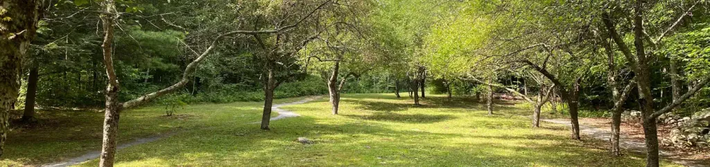 Moosalamoo CampgroundCampingPhoto: Recreation.gov (RIDB) / public domain4.2 mi
Source: Roamze catalog (indexable pages within 10 miles, PostGIS distance)
 Mad RiverCanoeing · ~21 min drivePhoto: USEPA Environmental-Protection-Agency, Public domain (via Wikimedia Commons)
 La ChuteCanoeing · ~35 min drivePhoto: Katie Armstrong, Public domain (via Wikimedia Commons)
Best months: August–October. Best months have typical highs of 55–85 °F, lows of 30 °F or warmer (32 °F where the station doesn't record snow), at most one snowy day and no more than 12 wet days.
Jan
31° / 9°
11 wet
Feb
35° / 10°
9 wet
Mar
44° / 19°
10 wet
Apr
59° / 30°
11 wet
May
72° / 41°
13 wet
Jun
80° / 50°
13 wet
Jul
84° / 56°
13 wet
Aug
82° / 54°
11 wet
Sep
75° / 47°
10 wet
Oct
61° / 36°
11 wet
Nov
47° / 27°
11 wet
Dec
36° / 16°
12 wet
Typical high / low (°F) and days with rain or snow, 1991–2020. Measured at Salisbury 2 N, VT, 3.7 mi away at 420 ft. The station sits about 600 ft lower than this place, so expect it a little cooler here. This station doesn't record snowfall. Source: NOAA NCEI U.S. Climate Normals 1991–2020.
