Loading…

Free — you'll pick up right here.
Watch this trail
Sign up to watch it — saving subscribes you to gate, closure and report changes.
Vermont
2.0 mi
Distance
399 ft
Gain
52 min
Time
We won't guess. Here is exactly what we do and don't know.
What we do know
Inside Green Mountain and Finger Lakes National Forests
2 managing-area boundaries mapped — agency alerts for them feed this page automatically.
Boundary data
What's missing
No access route mapped
We don't yet know which road reaches this trailhead, so we can't tell you if it's gated.
Nobody's filed a report here yet — be the first.
Why you'll love it
Moose Loop
AI-suggested draft · review before you go
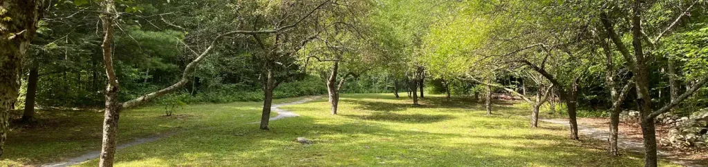
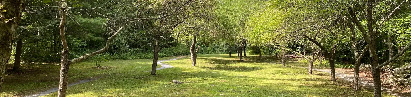
The Moose Loop offers Vermont hikers an accessible 2-mile journey on singletrack terrain perfect for a quick outdoor adventure. This easy loop route provides an ideal option for those seeking a manageable walk through the natural landscape without technical challenges.
Nettles
~1 min drive
Easy 1.19-mile loop through Vermont woodland.
Water Tower Sundown
~2 min drive
Scenic 4-mile Vermont loop with sunset views and moderate elevation.
Sucker Brook Blueberry Hill
~6 min drive
Moderate 8-mile loop featuring blueberry patches and stream crossings.
Tam
~12 min drive
Brief out-and-back woodland walk in Vermont.
Widow's Clearing
~1 min drive
Easy out-and-back woodland walk to a scenic clearing.
North Branch
~2 min drive
5.20-mile out-and-back trail in Vermont, moderate difficulty.
Texas Gap
~11 min drive
A moderate 7.33-mile out-and-back trail in Vermont offering a balanced hiking experience for mid-level adventurers.
Moosalamoo National Recreation Area
~2 min drive
Moderate out-and-back hike through Moosalamoo's forested highlands.
Water Tower North Star
~2 min drive
A 1.78-mile out-and-back trail in Vermont with moderate difficulty, ideal for hikers looking for a straightforward woodland trek.
Keewaydin East
~3 min drive
3.96-mile moderate out-and-back trail in Vermont.