Utah · Summit
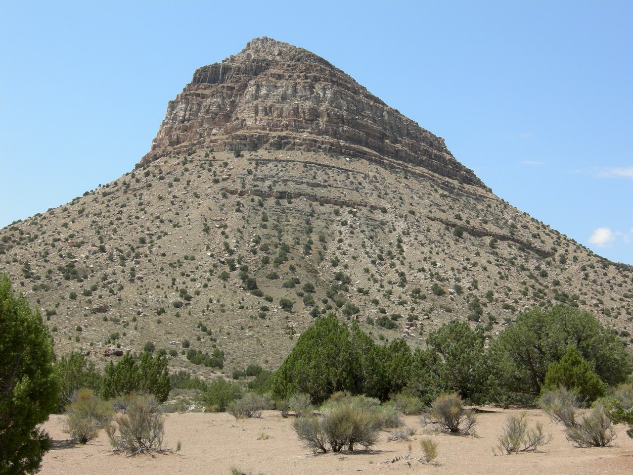
Swasey Mountain
 Photo: Qfl247 (talk) (Transferred by Citypeek/Original uploaded by Qfl247), CC BY-SA 3.0 (via Wikimedia Commons)
- 9,668 ft
- summit
- Bureau of Land Management
- managed by
Loading this week's forecast
Swasey Mountain is a summit in Millard County, Utah, at about 9,668 feet.
Conditions and forecast
Daily highs and lows, wind and the chance of precipitation at the summit for the next 7 days, from the Open-Meteo model.
- Summit elevation
- 9,668 ft
- Land manager
- Bureau of Land Management
Elevation from USGS 3D Elevation Program terrain data (about 10 m resolution).
We don't know of a mapped trail or route to the summit of Swasey Mountain. Plan the approach with local maps, a guidebook or a local guide, and check conditions before you go.
Questions about Swasey Mountain
How tall is Swasey Mountain?
9,668 ft (2,947 m).
Is there a trail to the top of Swasey Mountain?
We don't know of a mapped trail or route to the summit. Plan the approach with local maps, a guidebook or a local guide.
- Mount Moriah12,063 ft · Nevada1 route48 mi away
- Fool Creek Peak9,713 ft · Utah1 route59 mi away
 Wheeler Peak13,056 ft · Nevada2 routes60 mi awayPhoto: G. Thomas at English Wikipedia, Public domain (via Wikimedia Commons)
- Mount Washington11,672 ft · Nevada1 route63 mi away
- Lincoln Peak11,593 ft · Nevada1 route63 mi away
- Coffee Peak10,000 ft · Utah1 route67 mi away
Source: Roamze catalog (indexable pages within 10 miles, PostGIS distance)
 Topaz MountainSummit · ~43 min drivePhoto: Tweeber69, CC BY-SA 3.0 (via Wikimedia Commons)
 Fossil MountainSummit · ~1h 2m drivePhoto: Wilson44691 at English Wikipedia, Public domain (via Wikimedia Commons)
 Ibapah PeakSummit · ~1h 16m drivePhoto: User:Qfl247, CC BY 4.0 (via Wikimedia Commons)
 Pahvant ButteSummit · ~1h 17m drivePhoto: Photo by Willie Scott, (Smithsonian Institution)., Public domain (via Wikimedia Commons)
- Notch PeakSummit · ~30 min drive
- Mount MoriahSummit · ~1h 22m drive

