South Campground
Campground
Campground · 1.5 mi from the trail
 Photo: Ron Clausen, CC BY-SA 4.0 (via Wikimedia Commons)
Closure in the area
There's a closure order in Zion National Park. It doesn't name Bee Hive, so check the source for the area it covers (2 listed).
Narrows are Closed.
Park closure covering Zion National Park · NPS · Zion National Park
Watchman Trail closed
Park closure covering Zion National Park · NPS · Zion National Park
Toxic cyanobacteria in rivers, streams, and pools
Park alert covering Zion National Park · NPS · Zion National Park
Large vehicle restrictions on Zion-Mt. Carmel Highway
Park alert covering Zion National Park · NPS · Zion National Park
As of · Source: NPS · Zion National Park. Agencies don't list every closure — check before you go.
Bee Hive is a summit of 6,908 feet in Utah's Zion Wilderness, inside Zion National Park. The National Park Service manages the land, and the nearest town is Springdale, about 3 miles away. Late spring and early fall are the most comfortable times to go. Typical averages from the nearby Orderville weather station run to highs around 75°F in May and 69°F in October, though that station sits well below the summit, so temperatures on top run cooler. The summit sits close to a cluster of hiking and climbing. Sentinel and Short Stuff Crag are both under a mile away, and the Pa'rus Trail starts about 0.9 miles off. Watchman Campground is roughly 1.8 miles away for anyone planning an overnight stay.
South Campground
Campground
 If it rainsDon Graham from Redlands, CA, USA - God bless it!, CC BY-SA 2.0 · Wikimedia Commons
Places © OpenStreetMap contributors · Photos: Don Graham from Redlands, CA, USA - God bless it!, CC BY-SA 2.0 (commons)
More in HurricaneDaily highs and lows, wind and the chance of precipitation at the summit for the next 7 days, from the Open-Meteo model.
Elevation from USGS 3D Elevation Program terrain data (about 10 m resolution).
We don't know of a mapped trail or route to the summit of Bee Hive. Plan the approach with local maps, a guidebook or a local guide, and check conditions before you go.
6,908 ft (2,106 m).
We don't know of a mapped trail or route to the summit. Plan the approach with local maps, a guidebook or a local guide.


 SentinelRock climbingPhoto: Don Graham from Redlands, CA, USA - God bless it!, CC BY-SA 2.0 (via Wikimedia Commons)0.6 mi
 Short Stuff CragRock climbingPhoto: Don Graham from Redlands, CA, USA - God bless it!, CC BY-SA 2.0 (via Wikimedia Commons)0.8 mi
 Pa'rus TrailHikingPhoto: Ken Lund from Reno, Nevada, USA, CC BY-SA 2.0 (via Wikimedia Commons)0.9 mi
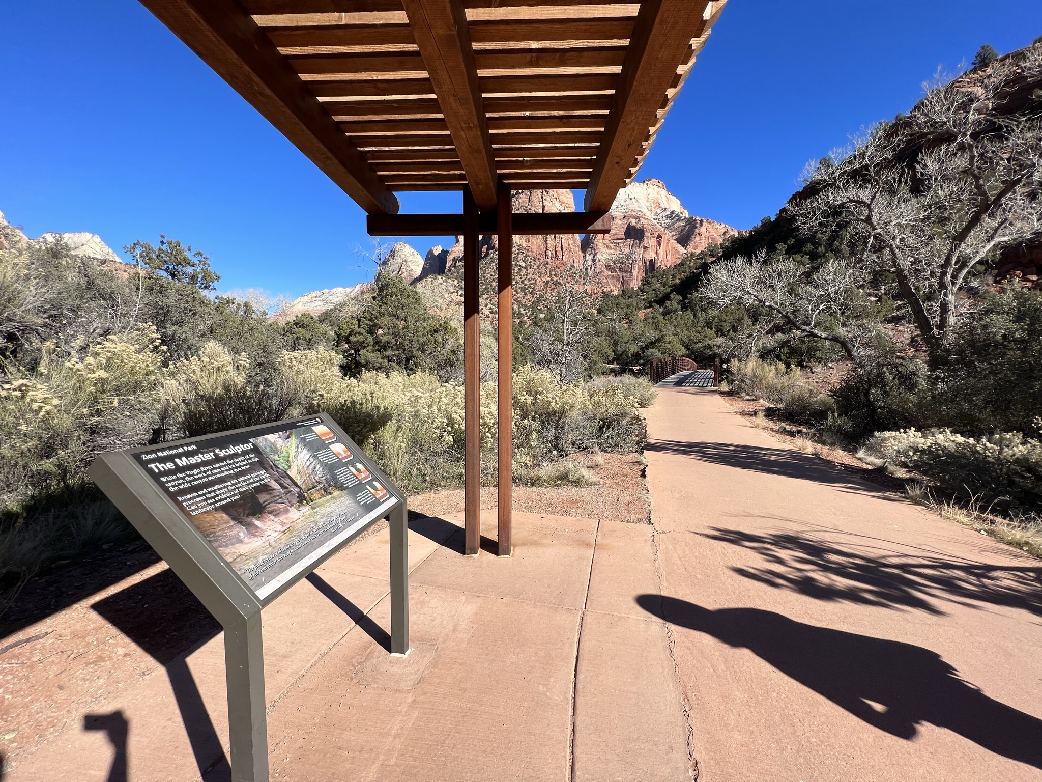 Pa'rus - The Master SculptorHikingPhoto: NPS/Abi Farish0.9 mi
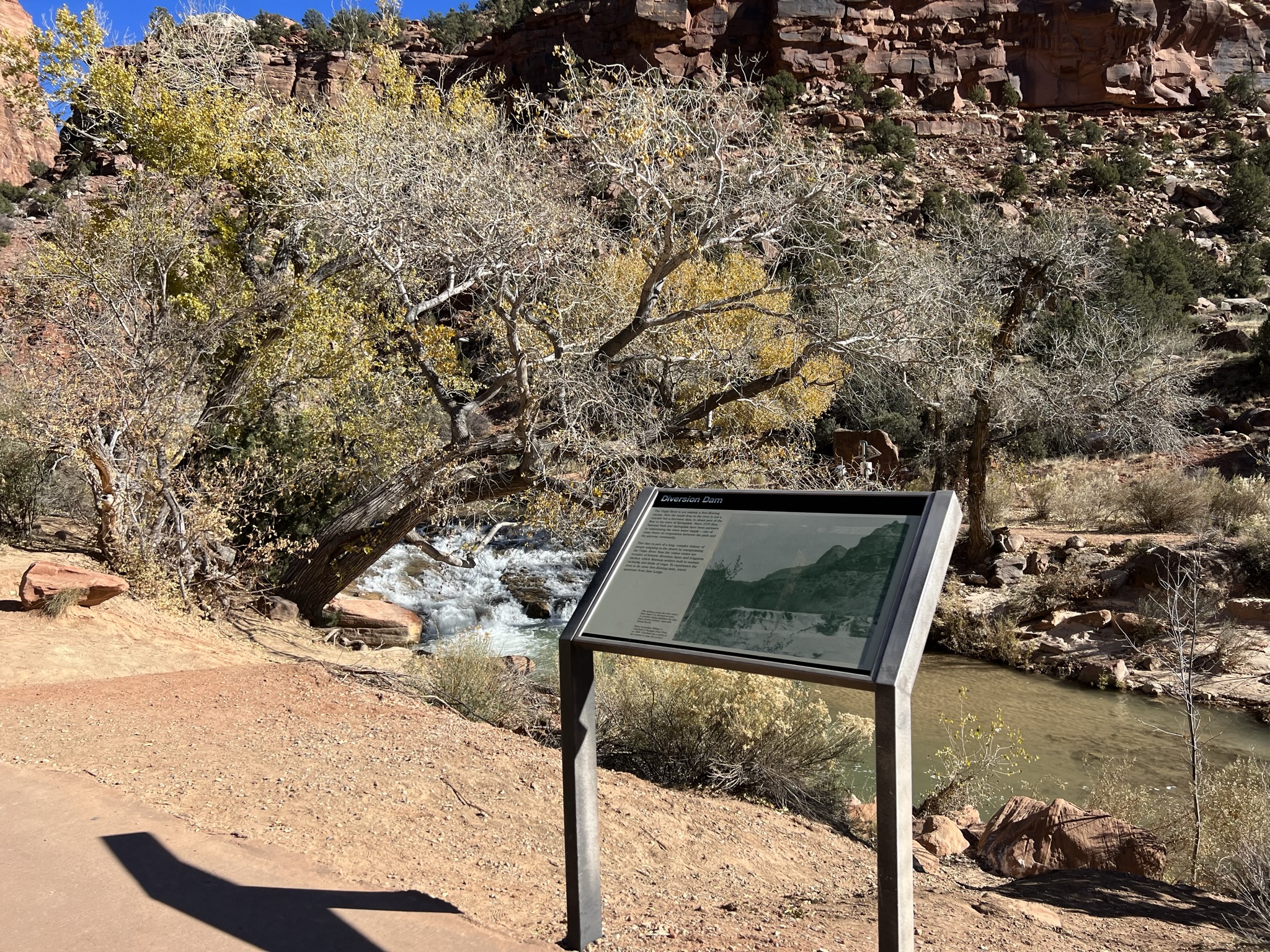 Pa'rus - Diversion DamHikingPhoto: NPS/Abi Farish0.9 mi
 Zion BoulderingRock climbingPhoto: Don Graham from Redlands, CA, USA - God bless it!, CC BY-SA 2.0 (via Wikimedia Commons)1 mi
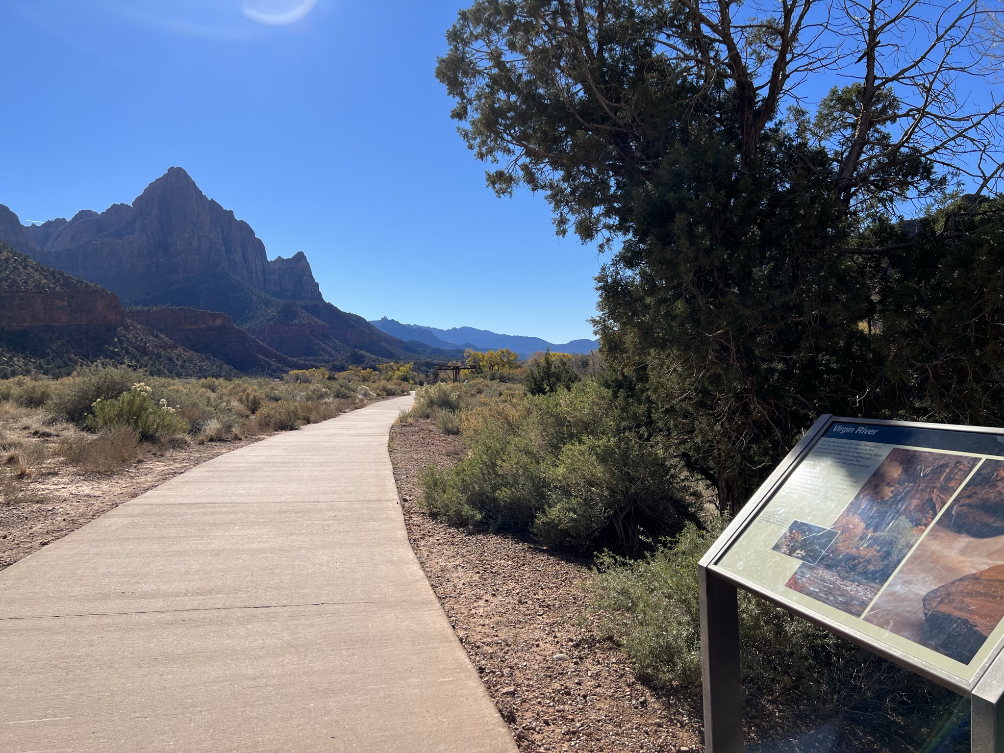 Pa'rus - Virgin River WaysideHikingPhoto: NPS/Abi Farish1 mi
 Watchman CampgroundCampingPhoto: Recreation.gov (RIDB) / public domain1.8 mi
Source: Roamze catalog (indexable pages within 10 miles, PostGIS distance)
 Meridian TowerSummit · ~2 min drivePhoto: Zion National Park, CC BY 2.5 (via Wikimedia Commons)
 Mount SprySummit · ~2 min drivePhoto: Ivy I Anderson, CC BY-SA 4.0 (via Wikimedia Commons)
 Three PatriarchsSummit · ~3 min drivePhoto: CC BY-SA 3.0 (via Wikimedia Commons)
 Bridge MountainSummit · ~3 min drivePhoto: Fredlyfish4, CC BY-SA 4.0 (via Wikimedia Commons)
 Altar of SacrificeSummit · ~3 min drivePhoto: Don Graham from Redlands, CA, USA - God bless it!, CC BY-SA 2.0 (via Wikimedia Commons)
 Mount MoroniSummit · ~3 min drivePhoto: Cody Allison, CC BY-SA 2.0 (via Wikimedia Commons)
 Mountain of the SunSummit · ~3 min drivePhoto: oliver.dodd, CC BY 2.0 (via Wikimedia Commons)
 The East TempleSummit · ~3 min drivePhoto: An Errant Knight, CC BY-SA 4.0 (via Wikimedia Commons)
 The West TempleSummit · ~4 min drivePhoto: Don Graham from Redlands, CA, USA - God bless it!, CC BY-SA 2.0 (via Wikimedia Commons)
 Jacob PeakSummit · ~4 min drivePhoto: James St. John, CC BY 2.0 (via Wikimedia Commons)
Also worth it near here
SentinelRock climbing · ~1 min drivePhoto: Don Graham from Redlands, CA, USA - God bless it!, CC BY-SA 2.0 (via Wikimedia Commons)Pa'rus TrailHiking · ~1 min drivePhoto: Ken Lund from Reno, Nevada, USA, CC BY-SA 2.0 (via Wikimedia Commons)Best months: April–May and September–October. Best months have typical highs of 55–85 °F, lows of 30 °F or warmer (32 °F where the station doesn't record snow), at most one snowy day and no more than 12 wet days.
Jan
48° / 19°
Feb
50° / 23°
Mar
59° / 28°
Apr
65° / 32°
May
75° / 40°
Jun
86° / 48°
Jul
91° / 55°
Aug
89° / 54°
Sep
82° / 47°
Oct
69° / 36°
Nov
57° / 26°
Dec
48° / 19°
Typical high / low (°F) and days with rain or snow, 1991–2020. Measured at Orderville, UT, 19.5 mi away at 5,460 ft. The station sits about 1,400 ft lower than this place, so expect it a little cooler here. This station doesn't record snowfall. Source: NOAA NCEI U.S. Climate Normals 1991–2020.
