Shoreline Crag
Shoreline Crag in Utah has 11 sport climbing routes across 9 difficulty grades.
- 11 routes
- 5.10b – 5.13a
- Sport
Is Shoreline Crag open right now?
No closures listed
The Forest Service lists no closures for Uinta-Wasatch-Cache National Forest.
As of · Source: USFS · Uinta-Wasatch-Cache National Forest. Agencies don't list every closure — check before you go.
Best time to visit Shoreline Crag
Best months: May–June and September–October. Best months have typical highs of 55–85 °F, lows of 30 °F or warmer (32 °F where the station doesn't record snow), at most one snowy day and no more than 12 wet days.
Jan
38° / 19°
11 wet · 8 snow
Feb
43° / 22°
10 wet · 6 snow
Mar
52° / 29°
10 wet · 5 snow
Apr
59° / 34°
10 wet · 3 snow
May
69° / 41°
9 wet · 1 snow
Jun
80° / 49°
6 wet
Jul
89° / 57°
4 wet
Aug
87° / 56°
5 wet
Sep
78° / 47°
6 wet
Oct
63° / 36°
8 wet · 1 snow
Nov
48° / 27°
9 wet · 4 snow
Dec
37° / 20°
11 wet · 8 snow
Typical high / low (°F) and days with rain or snow, 1991–2020. Measured at City Creek Wtp, UT, 2.3 mi away at 5,340 ft. Source: NOAA NCEI U.S. Climate Normals 1991–2020.
Shoreline Crag is a climbing area in the Salt Lake Ranger District of the Uinta-Wasatch-Cache National Forest in Utah, about a mile from the town of North Hills. The most comfortable months for a visit are typically late spring and early fall. Typical averages from a nearby weather station show May highs around 69°F and September highs around 78°F, while July climbs to about 89°F and winter brings frequent snow days. City Creek Trail starts just 0.1 mile away, and City Creek Canyon is 0.2 mile off. RattleHorn, The is 0.4 mile away, and the Bonneville Shoreline Trail - Valleyview Section is 0.5 mile away.
Routes (11)
Keep exploring — more climbs worth the drive
 Photo: pinkblackmusik, CC BY-SA 3.0 (via Wikimedia Commons)
Emigration Canyon
~9 min drive
Emigration Canyon in Utah has 2 climbing routes with mixed and sport styles.
Photo: pinkblackmusik, CC BY-SA 3.0 (via Wikimedia Commons)This is the Choss. . . A Choss Climbing Park
~9 min drive
Crag in Utah with 5 sport routes on 3 difficulty grades.
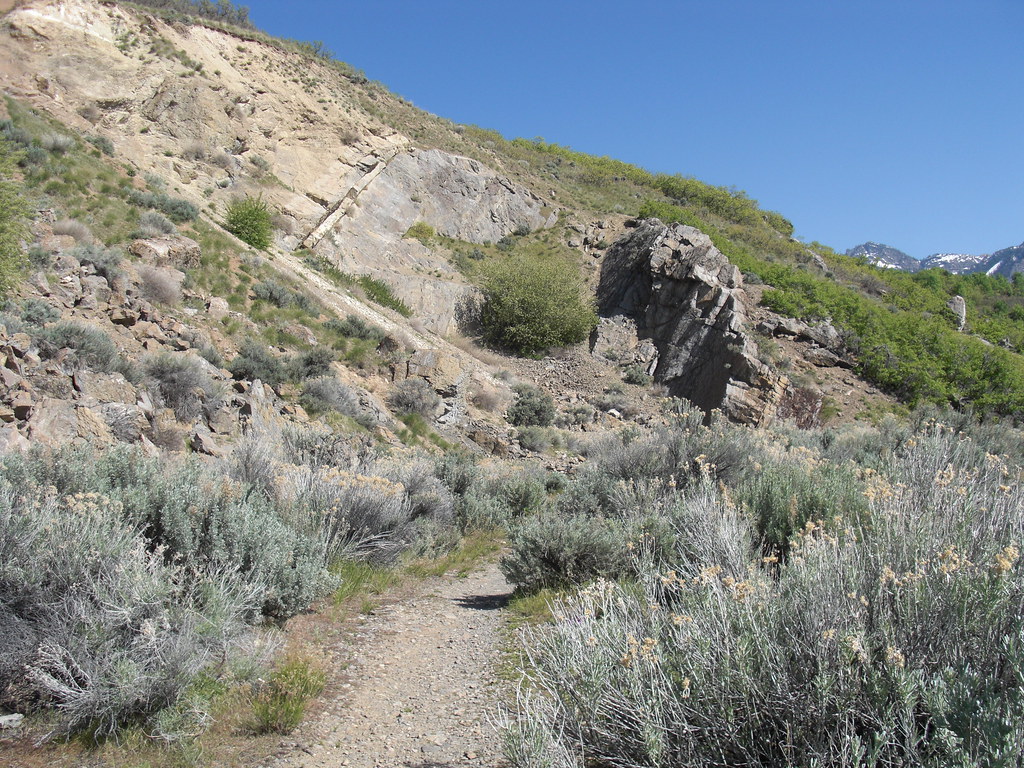 Photo: AndreyZharkikh, CC BY 2.0 (via Flickr)
The Bungalow
~13 min drive
11-route climbing area in Utah with sport and trad options.
 Photo: AndreyZharkikh, CC BY 2.0 (via Flickr)
Grandeur Peak
~14 min drive
Grandeur Peak in Utah offers 11 sport climbing routes across 8 difficulty grades.
 Photo: CountyLemonade, CC BY 2.0 (via Flickr)
Salt Lake Urban Crag
~15 min drive
Salt Lake Urban Crag in Utah has 4 routes ranging from bouldering pads to mixed climbing.
 Photo: rodrigodemarque, CC BY 3.0 (via Wikimedia Commons)
Offwidth Boulder
~19 min drive
6 bouldering routes in Utah at 5.10-5.12+
Photo: rodrigodemarque, CC BY 3.0 (via Wikimedia Commons)City Rock Area
~19 min drive
City Rock Area is a Utah climbing crag with 3 bouldering routes.
Photo: rodrigodemarque, CC BY 3.0 (via Wikimedia Commons)Old Pin Boulder
~19 min drive
Old Pin Boulder is a Utah climbing area with 8 bouldering routes.
Photo: rodrigodemarque, CC BY 3.0 (via Wikimedia Commons)Pete's Rock
~19 min drive
Pete's Rock in Utah has 8 routes with bouldering pads, mixed, sport, and trad climbing.
 Photo: Shaan Hurley, CC BY 2.0 (via Flickr)
Mount Olympus
~19 min drive
Mount Olympus in Utah has 2 trad climbing routes.


