Salina Creek
- 37.7 mi
- distance
- 9,295 ft
- high point
Is Salina Creek open right now?
Alert in the area
The Forest Service lists 2 alerts for Fishlake National Forest.
PST 66 Rock Canyon Trail Temporarily Closed
Agency alert covering Fishlake National Forest · USFS · Fishlake National Forest
TERMINATION OF STAGE 1 FIRE RESTRICTION ORDER
Agency alert covering Fishlake National Forest · Order 0408-26-10 · USFS · Fishlake National Forest
As of · Source: USFS · Fishlake National Forest. Agencies don't list every closure — check before you go.
Salina Creek is a 38-mile paddling stretch near Salina, Utah. It flows year-round. USGS models an average flow of about 105 cfs and a gradient of about 110.7 feet per mile. Land along it is managed by the U.S. Forest Service.
Local outfitters
- Big Rock Candy Mountain44 mi away
- Big Rock Adventure44 mi away
Not on Roamze yet. Their page has how to reach them.
- Secret CorralHiking0.9 mi
- West BeaversHiking1.3 mi
- Water Hollow RoadHiking1.5 mi
- Salina Creek Second Crossing TrailheadCamping4.5 mi
- Gooseberry Admin Site CabinsCamping9 mi
- Toddler WallRock climbing9.3 mi
- Redmond RocksRock climbing9.4 mi
- Richfield Ranger DistrictLake fishing9.7 mi
Source: Roamze catalog (indexable pages within 10 miles, PostGIS distance)
 Muddy CreekCanoeing · ~54 min drivePhoto: Doc Searls from Santa Barbara, USA, CC BY 2.0 (via Wikimedia Commons)
- Johnson Reservoir Rec Site Boating SiteBoat launch · ~38 min drive
 Otter CreekCanoeing · ~1h 2m drivePhoto: Murray Foubister, CC BY-SA 2.0 (via Wikimedia Commons)
- Koosharem Rec SiteBoat launch · ~43 min drive
 Cottonwood CreekCanoeing · ~1h 7m drivePhoto: Clyde Charles Brown, CC BY-SA 4.0 (via Wikimedia Commons)
- Millsite Reservoir Boat RampBoat launch · ~47 min drive
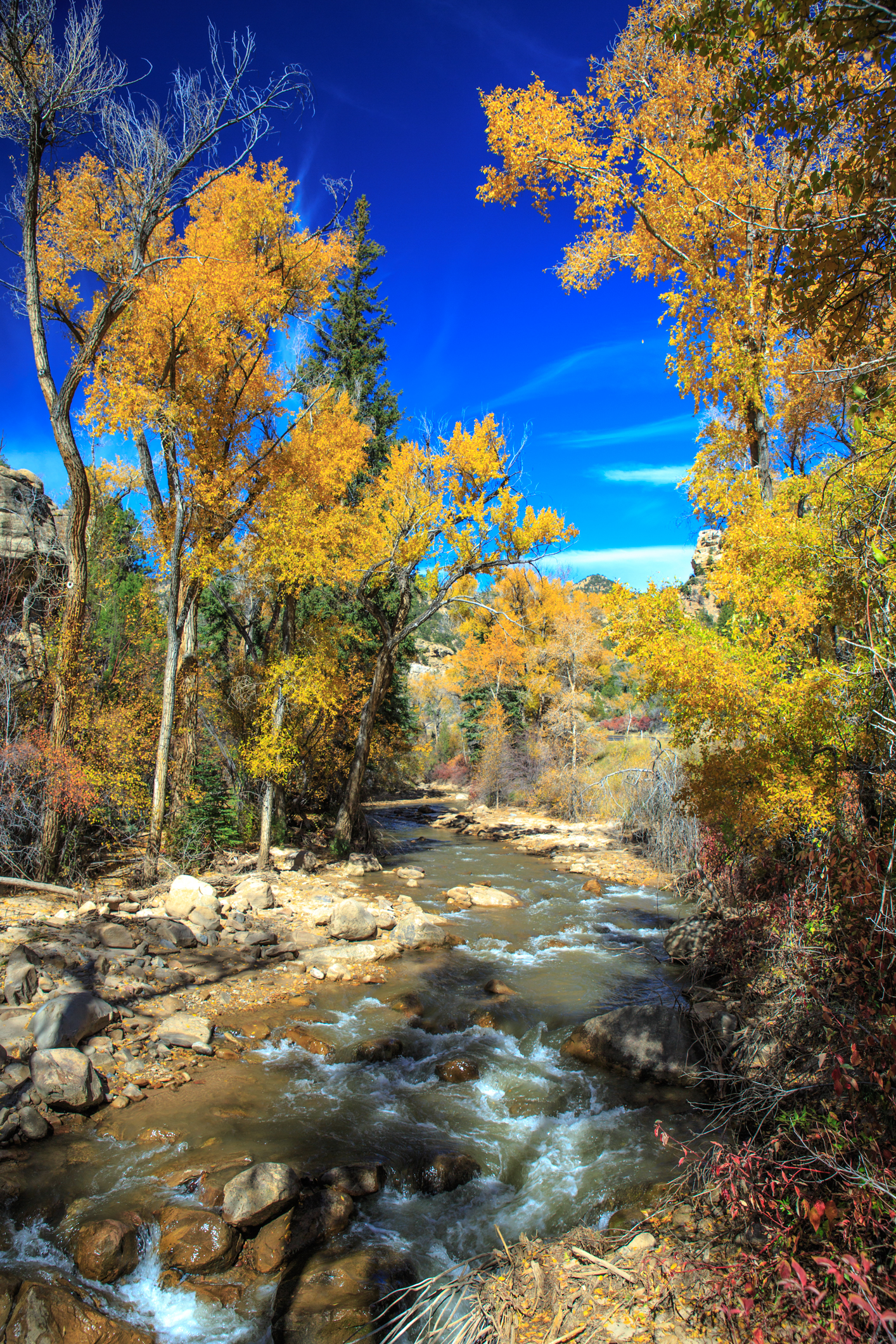 Huntington CreekCanoeing · ~1h 17m drivePhoto: Murray Foubister, CC BY-SA 2.0 (via Wikimedia Commons)
- Forsyth Reservoir Boat Ramp Rec SiteBoat launch · ~50 min drive
- Ivie CreekCanoeing · ~35 min drive
- Joes Valley Boat Ramp EastBoat launch · ~57 min drive

