South Fork of Pine Creek
- 0.1 mi
- distance
- 13 ft
- climb
- Jun–Oct
- best months
Is South Fork of Pine Creek open right now?
Alert in the area
The Forest Service lists 2 alerts for Fishlake National Forest.
PST 66 Rock Canyon Trail Temporarily Closed
Agency alert covering Fishlake National Forest · USFS · Fishlake National Forest
TERMINATION OF STAGE 1 FIRE RESTRICTION ORDER
Agency alert covering Fishlake National Forest · Order 0408-26-10 · USFS · Fishlake National Forest
As of · Source: USFS · Fishlake National Forest. Agencies don't list every closure — check before you go.
South Fork of Pine Creek is a short mountain biking route in Utah's Fishlake National Forest, within the Beaver Ranger District. The Forest Service manages the land, and the ride covers about 0.05 miles with a total elevation gain of 13 feet. It is a low-commitment stop, a short climb of just over a mile from its low point at 6,994 feet to its high point at 7,012 feet. Summer and early fall are the mildest times to go. Typical averages from a nearby weather station at Beaver Canyon put July highs around 80°F and September highs near 71°F, with snow days and colder nights common from November through April. Several other mountain biking options sit close by, including Trail 3589 at about 0.6 miles and Little North Cr.-Wittwer Hill at about 1.2 miles. The Pine Creek hike is about 1.3 miles away, and Indian Creek Dispersed Camping is about 6.7 miles off.
Local outfitters
- Big Rock Candy Mountain16 mi away
- Big Rock Adventure16 mi away
Not on Roamze yet. Their page has how to reach them.
- Trail 3589Mountain biking0.6 mi
- Little North Cr.-Wittwer HillMountain biking1.2 mi
- Pine CreekHiking1.3 mi
- Little North CreekMountain biking1.6 mi
- Trail 3591Mountain biking1.8 mi
- Indian Creek Dispersed CampingCamping6.7 mi
- Cove Fort RV ParkCamping8 mi
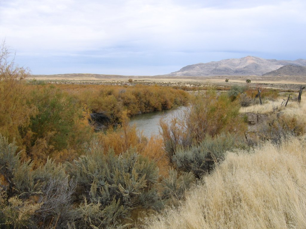 Sevier RiverCanoeingPhoto: w:Flickr user rcstanley, CC BY 2.0 (via Wikimedia Commons)8.4 mi
Source: Roamze catalog (indexable pages within 10 miles, PostGIS distance)
 Tanner Hollow - Big JohnMountain biking · ~19 min drivePhoto: Andrey Zharkikh, CC BY 2.0 (via Wikimedia Commons)
- Pole Creek TrailMountain biking · ~19 min drive
- Blue LakeMountain biking · ~20 min drivePhoto: Andrey Zharkikh, CC BY 2.0 (via Wikimedia Commons)
 Duncan Creek - BosmanMountain biking · ~22 min drivePhoto: Andrey Zharkikh, CC BY 2.0 (via Wikimedia Commons)
 Paiute (D-3)Mountain biking · ~22 min drivePhoto: Derrellwilliams, CC0 (via Wikimedia Commons)
- The PocketMountain biking · ~22 min drivePhoto: Andrey Zharkikh, CC BY 2.0 (via Wikimedia Commons)
- Delano Peak TrailMountain biking · ~23 min drivePhoto: Derrellwilliams, CC0 (via Wikimedia Commons)
- Jim Reed Creek - BosmanMountain biking · ~23 min drivePhoto: Andrey Zharkikh, CC BY 2.0 (via Wikimedia Commons)
- Jim Reed Creek - Bosman TrailMountain biking · ~23 min drivePhoto: Andrey Zharkikh, CC BY 2.0 (via Wikimedia Commons)
- Grizzley Ridge - Big JohnMountain biking · ~25 min drivePhoto: Derrellwilliams, CC0 (via Wikimedia Commons)
Also worth it near here
Best time to visit South Fork of Pine Creek
Best months: June–October. Best months have typical highs of 55–85 °F, lows of 30 °F or warmer (32 °F where the station doesn't record snow), at most one snowy day and no more than 12 wet days.
Jan
37° / 16°
7 wet · 7 snow
Feb
40° / 17°
7 wet · 6 snow
Mar
47° / 23°
7 wet · 6 snow
Apr
53° / 28°
7 wet · 4 snow
May
63° / 36°
6 wet · 2 snow
Jun
75° / 45°
4 wet
Jul
80° / 52°
7 wet
Aug
78° / 51°
9 wet
Sep
71° / 43°
6 wet
Oct
58° / 33°
5 wet · 1 snow
Nov
45° / 24°
5 wet · 3 snow
Dec
36° / 16°
7 wet · 6 snow
Typical high / low (°F) and days with rain or snow, 1991–2020. Measured at Beaver Canyon Pwr House, UT, 16.6 mi away at 7,275 ft. Source: NOAA NCEI U.S. Climate Normals 1991–2020.

Map and trail data © OpenStreetMap contributors
