Little North Creek
- 3.8 mi
- distance
- 2,185 ft
- climb
Is Little North Creek open right now?
Alert in the area
The Forest Service lists 2 alerts for Fishlake National Forest.
PST 66 Rock Canyon Trail Temporarily Closed
Agency alert covering Fishlake National Forest · USFS · Fishlake National Forest
TERMINATION OF STAGE 1 FIRE RESTRICTION ORDER
Agency alert covering Fishlake National Forest · Order 0408-26-10 · USFS · Fishlake National Forest
As of · Source: USFS · Fishlake National Forest. Agencies don't list every closure — check before you go.
Little North Creek is a mountain biking route in the Beaver Ranger District of Fishlake National Forest in Utah, managed by the Forest Service. The ride starts at about 7,169 feet and climbs to about 9,359 feet over roughly 3.8 miles, with a total elevation gain of about 2,185 feet. The route is a short, steep climb. The low point is around 7,169 feet, and the high point is about 9,359 feet. That makes it a compact but significant ride for mountain bikers. Several other destinations sit close by. The Little North Cr.-Wittwer Hill hike is about 0.4 miles away, and the Wittwer Hill Trail (Trail 3589) is about 1.2 miles off. The Cove Creek - Indian Creek hike is about 1.1 miles away, and the South Fork of Pine Creek mountain biking route is about 1.6 miles away.
Local outfitters
- Big Rock Candy Mountain15 mi away
- Big Rock Adventure15 mi away
Not on Roamze yet. Their page has how to reach them.
- Little North Cr.-Wittwer HillHiking0.4 mi
- Cove Creek - Indian CreekHiking1.1 mi
- Trail 3589Mountain biking1.2 mi
- Pine CreekHiking1.3 mi
- South Fork of Pine CreekMountain biking1.6 mi
- Indian Creek Dispersed CampingCamping6.8 mi
- Cove Fort RV ParkCamping7.6 mi
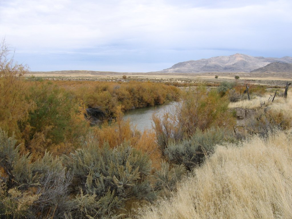 Sevier RiverCanoeingPhoto: w:Flickr user rcstanley, CC BY 2.0 (via Wikimedia Commons)7.8 mi
Source: Roamze catalog (indexable pages within 10 miles, PostGIS distance)
 Tanner Hollow - Big JohnMountain biking · ~19 min drivePhoto: Andrey Zharkikh, CC BY 2.0 (via Wikimedia Commons)
- Pole Creek TrailMountain biking · ~16 min drive
- Blue LakeMountain biking · ~20 min drivePhoto: Andrey Zharkikh, CC BY 2.0 (via Wikimedia Commons)
- The PocketMountain biking · ~22 min drivePhoto: Andrey Zharkikh, CC BY 2.0 (via Wikimedia Commons)
 Paiute (D-3)Mountain biking · ~22 min drivePhoto: Derrellwilliams, CC0 (via Wikimedia Commons)
 Duncan Creek - BosmanMountain biking · ~22 min drivePhoto: Andrey Zharkikh, CC BY 2.0 (via Wikimedia Commons)
- Delano Peak TrailMountain biking · ~22 min drivePhoto: Derrellwilliams, CC0 (via Wikimedia Commons)
- Jim Reed Creek - BosmanMountain biking · ~23 min drivePhoto: Andrey Zharkikh, CC BY 2.0 (via Wikimedia Commons)
- Jim Reed Creek - Bosman TrailMountain biking · ~23 min drivePhoto: Andrey Zharkikh, CC BY 2.0 (via Wikimedia Commons)
- Grizzley Ridge - Big JohnMountain biking · ~25 min drivePhoto: Derrellwilliams, CC0 (via Wikimedia Commons)
Also worth it near here
- Shingle Creek Dispersed CampingCamping · ~10 min drive
- Sevier RiverCanoeing · ~13 min drivePhoto: w:Flickr user rcstanley, CC BY 2.0 (via Wikimedia Commons)
 Mount BelknapSummit · ~16 min drivePhoto: Intermountain Forest Service, USDA Region 4 Photography, Public domain (via Wikimedia Commons)
- Three Creeks ReservoirLake fishing · ~17 min drive
Map and trail data © OpenStreetMap contributors
