Great Western Trail
- 51.5 mi
- distance
- 8,900 ft
- climb
Is Great Western Trail open right now?
Alert in the area
The Forest Service lists 3 alerts for Dixie National Forest.
Duck Creek OHV Trail Closure
Agency alert covering Dixie National Forest · Order 0407-26-11 · USFS · Dixie National Forest
Pine Valley Ranger District Area and Trail and Road Closure
Agency alert covering Dixie National Forest · Order 0407-26-01 · USFS · Dixie National Forest
Cedar City Temporary Road Closure Webster Flat Road (Order 0407-25-02)
Agency alert covering Dixie National Forest · Order 0407-25-02 · USFS · Dixie National Forest
As of · Source: USFS · Dixie National Forest. Agencies don't list every closure — check before you go.
The Great Western Trail is a long mountain biking route in southern Utah, running 51.5 miles through the Escalante Ranger District of the Dixie National Forest. The Forest Service manages the land. The trail rises from a low of about 7,800 feet to a high of about 10,500 feet, with a total elevation gain of 8,900 feet over the course of the trip. The route starts close to Barker Recreation Area, about 1.4 miles away, and Posey Lake Campground is roughly 7.4 miles off. The White Creek Trail and the Griffin Spur are both within about a mile and a half.
Local outfitters
- Escalante Outfitters15 mi away
- Bear Valley RV & Campground33 mi away
Not on Roamze yet. Their page has how to reach them.
- White Creek TrailMountain biking1.2 mi
- Griffin SpurMountain biking1.3 mi
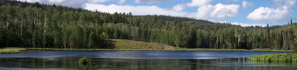 Barker Recreation AreaCampingPhoto: Recreation.gov (RIDB) / public domain1.4 mi
- Round Willow BottomLake fishing1.4 mi
- Upper Barker ReservoirLake fishing1.4 mi
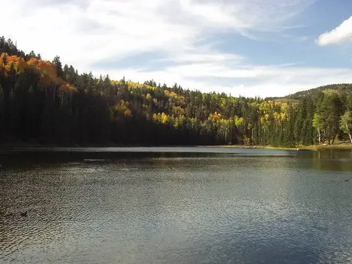 Posey Lake CampgroundCampingPhoto: Recreation.gov (RIDB) / public domain7.4 mi
- Shangri LaRock climbing9.5 mi
- The Air StripRock climbing9.6 mi
Source: Roamze catalog (indexable pages within 10 miles, PostGIS distance)
 Ruby Rim a LoopMountain biking · ~42 min drivePhoto: brewbooks from near Seattle, USA, CC BY-SA 2.0 (via Wikimedia Commons)
- Ruby Rim Loop A TrailMountain biking · ~42 min drivePhoto: brewbooks from near Seattle, USA, CC BY-SA 2.0 (via Wikimedia Commons)
 Rubys Inn 3 Snow TrailMountain biking · ~44 min drivePhoto: Don Graham from Redlands, CA, USA - God bless it!, CC BY-SA 2.0 (via Wikimedia Commons)
- White Creek TrailMountain biking · ~2 min drive
- Griffin SpurMountain biking · ~2 min drive
- Round WillowMountain biking · ~2 min drive
- Great Western Trail - Barker SectionMountain biking · ~2 min drive
- Dougherty Basin TrailMountain biking · ~3 min drive
- Barker Lakes LoopMountain biking · ~3 min drive
- Flat Lake TrailMountain biking · ~3 min drive

Map and trail data © OpenStreetMap contributors
