Sunset Canyon
- 3.8 mi
- distance
- 2,921 ft
- climb
Is Sunset Canyon open right now?
Alert in the area
The Forest Service lists 2 alerts for Fishlake National Forest.
PST 66 Rock Canyon Trail Temporarily Closed
Agency alert covering Fishlake National Forest · USFS · Fishlake National Forest
TERMINATION OF STAGE 1 FIRE RESTRICTION ORDER
Agency alert covering Fishlake National Forest · Order 0408-26-10 · USFS · Fishlake National Forest
As of · Source: USFS · Fishlake National Forest. Agencies don't list every closure — check before you go.
Sunset Canyon is a mountain biking route in Utah's Fishlake National Forest, within the Fillmore Ranger District. The Forest Service manages the land, and the ride covers about 3.8 miles with a total elevation gain of 2,921 feet, climbing from a low point of 6,774 feet to a high of 9,713 feet. The route is a single climb, and the most comfortable time to ride is typically late spring or early fall. A nearby weather station records typical averages of about 60°F in May and September, with July averaging around 75°F. Winter brings cold, with typical January averages near 10°F. The Cottonwood - Sunset Tie hike lies about half a mile away, and the Walker Canyon mountain biking route is about 1.2 miles off. Climbers can find the Fishlake National Forest climbing area roughly 3.4 miles away, and Adelaide Campground offers camping about 6.2 miles from the trail.
Local outfitters
- Big Rock Candy Mountain22 mi away
- Big Rock Adventure22 mi away
Not on Roamze yet. Their page has how to reach them.
Keep exploring — more rides worth the drive
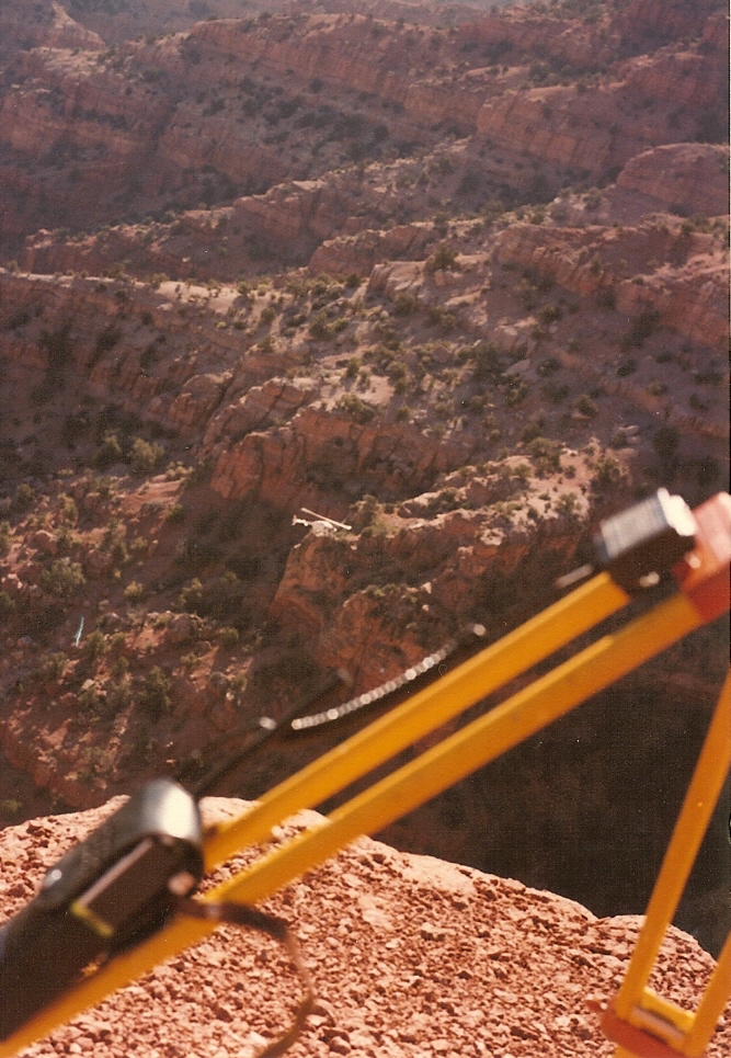 Photo: Lorne Kelly, CC BY-SA 3.0 (via Wikimedia Commons)
Crazy Hollow
~7 min drive
Crazy Hollow is a 4.24-mile trail at Sunset Peak in Utah.
RIDE
Pole Creek Trail
~31 min drive
2.03-mile out-and-back singletrack in Utah with 902 ft elevation gain.
 Photo: QKC, CC BY-SA 3.0 (via Wikimedia Commons)
Pharo-Willow Creek Peak Spur
~25 min drive
1.74-mile trail at Jacks Peak with 2,099 ft elevation gain
Photo: QKC, CC BY-SA 3.0 (via Wikimedia Commons)Pharo
~27 min drive
A 3.7-mile trail at Jacks Peak offering scenic Utah mountain biking.
Photo: QKC, CC BY-SA 3.0 (via Wikimedia Commons)North Maple Grove
~30 min drive
2.43-mile loop trail at Jacks Peak, Utah, gaining 2,718 feet.
RIDE
Cottonwood - Sunset Tie
~1 min drive
0.83-mile trail at Sunset Peak with 668 ft gain
RIDE
Walker Canyon
~2 min drive
4.13-mile trail at Sunset Peak in Utah with 3,323 ft of elevation gain.
RIDE
Trail 1442
~4 min drive
1.89-mile trail at Sunset Peak with 1,777 ft elevation gain
RIDE
Cottonwood
~4 min drive
Cottonwood is a 6.71-mile trail at Sunset Peak in Utah with 4,177 ft of elevation gain.
RIDE
Meadow Creek
~4 min drive
4.40-mile trail at Sunset Peak with 3,057 ft elevation gain.

Map and trail data © OpenStreetMap contributors
