Choke Cherry
- 4.7 mi
- distance
- 1,890 ft
- climb
- May–Sep
- best months
Is Choke Cherry open right now?
Alert in the area
The Forest Service lists 2 alerts for Fishlake National Forest.
PST 66 Rock Canyon Trail Temporarily Closed
Agency alert covering Fishlake National Forest · USFS · Fishlake National Forest
TERMINATION OF STAGE 1 FIRE RESTRICTION ORDER
Agency alert covering Fishlake National Forest · Order 0408-26-10 · USFS · Fishlake National Forest
As of · Source: USFS · Fishlake National Forest. Agencies don't list every closure — check before you go.
Choke Cherry is a mountain biking route in the Fillmore Ranger District of Fishlake National Forest in Utah, about 4.7 miles long with a total elevation gain of 1,890 feet. The climb carries riders from a low point of about 6,360 feet to a high of roughly 8,237 feet, and the Forest Service manages the land. For timing, late spring and early fall tend to be the most comfortable stretches. Typical averages from the Koosharem weather station, about 32 miles away, show May highs near 69°F and September highs around 75°F, with July the warmest month at about 85°F. That station sits roughly 1,300 feet below the route's high point, so temperatures up top run cooler. The route starts close to two hikes, Cottonwood and Nephi Canyon, each about 0.3 miles away, and the Cedar Springs mountain biking trail is about 0.7 miles off. For an overnight stay, Maple Grove Campground lies about 8.4 miles away.
Local outfitters
- Big Rock Candy Mountain28 mi away
- Big Rock Adventure28 mi away
Not on Roamze yet. Their page has how to reach them.
Best time to go · May–Sep
Best time to visit Choke Cherry
Best months: May–September. Best months have typical highs of 55–85 °F, lows of 30 °F or warmer (32 °F where the station doesn't record snow), at most one snowy day and no more than 12 wet days.
Jan
39° / 12°
6 wet
Feb
43° / 16°
6 wet
Mar
52° / 21°
7 wet
Apr
59° / 27°
6 wet
May
69° / 32°
5 wet
Jun
80° / 41°
4 wet
Jul
85° / 48°
7 wet
Aug
82° / 47°
9 wet
Sep
75° / 39°
7 wet
Oct
63° / 28°
6 wet
Nov
51° / 19°
5 wet
Dec
39° / 11°
5 wet
Typical high / low (°F) and days with rain or snow, 1991–2020. Measured at Koosharem, UT, 32.2 mi away at 6,930 ft. The station sits about 1,300 ft lower than this place, so expect it a little cooler here. This station doesn't record snowfall. Source: NOAA NCEI U.S. Climate Normals 1991–2020.
Keep exploring — more rides worth the drive
 Photo: QKC, CC BY-SA 3.0 (via Wikimedia Commons)
Pharo-Willow Creek Peak Spur
~10 min drive
1.74-mile trail at Jacks Peak with 2,099 ft elevation gain
RIDE
Pole Creek Trail
~44 min drive
2.03-mile out-and-back singletrack in Utah with 902 ft elevation gain.
Photo: QKC, CC BY-SA 3.0 (via Wikimedia Commons)Pharo
~12 min drive
A 3.7-mile trail at Jacks Peak offering scenic Utah mountain biking.
Photo: QKC, CC BY-SA 3.0 (via Wikimedia Commons)North Maple Grove
~15 min drive
2.43-mile loop trail at Jacks Peak, Utah, gaining 2,718 feet.
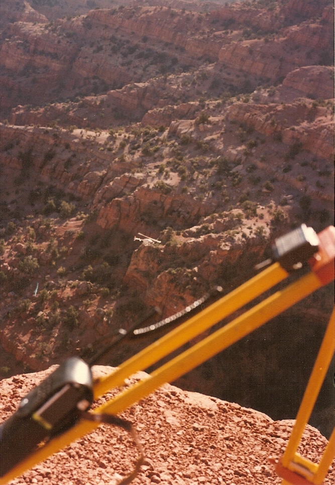 Photo: Lorne Kelly, CC BY-SA 3.0 (via Wikimedia Commons)
Crazy Hollow
~19 min drive
Crazy Hollow is a 4.24-mile trail at Sunset Peak in Utah.
RIDE
Cottonwood
Next door
Cottonwood is a 2.42-mile trail in Utah with 2,187 ft of elevation gain.
RIDE
Cedar Springs
~1 min drive
Cedar Springs is a 2.57-mile trail in Utah at Moss Falls Trailhead.
RIDE
Nephi Canyon
~2 min drive
1.00-mile trail at Moss Falls Trailhead with 799 ft elevation gain
RIDE
Three Forks
~3 min drive
Three Forks is a 2.78-mile trail in Utah with 2,300 ft of elevation gain.
RIDE
Shingle Mill
~4 min drive
5.13-mile trail at Moss Falls Trailhead with 3,871 ft gain

Map and trail data © OpenStreetMap contributors
