Free — you'll pick up right here.
Watch this trail
Sign up to watch it — saving subscribes you to gate, closure and report changes.
Utah
Buffalo Peak Trail
1.5 mi
Distance
541 ft
Gain
39 min
Time
No verdict for this trail
We won't guess. Here is exactly what we do and don't know.
What we do know
Inside Uinta-Wasatch-Cache National Forest
2 managing-area boundaries mapped — agency alerts for them feed this page automatically.
Boundary data
What's missing
No access route mapped
We don't yet know which road reaches this trailhead, so we can't tell you if it's gated.
Nobody's filed a report here yet — be the first.
Why you'll love it
Here's your day, mapped
Buffalo Peak Trail
AI-suggested draft · review before you go
Meals
Gear for the day
Elevation & route
- Distance
- 1.5 mi
- Elevation gain
- 541 ft
- Highest point
- 7,999 ft
- Lowest point
- 7,272 ft
Photos
Directions & GPX
Permits & access
- Managing agency
- Forest Service
About this trail
Buffalo Peak Trail is a short, accessible hike offering quick elevation gain and scenic views of the surrounding Utah landscape. This 1.23-mile trail climbs 474 feet to reach Buffalo Peak, making it an ideal choice for hikers seeking a brisk workout or families looking for a manageable outing. The trail provides rewarding vistas relative to its modest distance and effort.
Add to a trip & share
Keep exploring — more trails worth the drive
Upper Pole Canyon Trail
~1 min drive
1.56-mile out-and-back hike in Utah with 756 ft elevation gain
Little Rock Canyon
~3 min drive
1.54-mile out-and-back trail in Utah with 1,269 ft elevation gain
Khyv Peak Overlook Front Trail
~3 min drive
2.18-mile out-and-back hike in Utah with 1,801 ft elevation gain and loss.
Squaw Peak Ridge Trail
~2 min drive
0.8-mile out-and-back hike in Utah with 458 ft elevation gain
Bonneville Shoreline Trail
~4 min drive
3.84-mile out-and-back trail in Utah with 2,583 ft elevation gain and loss.
Khyv Peak Ridge Trail
~3 min drive
2.26-mile out-and-back trail in Utah with 1,232 ft gain and 6,571 ft max elevation.
Khyv Peak Overlook Back Trail
~2 min drive
0.72-mile out-and-back hike to Khyv Peak Overlook in Utah with 216 ft gain.
Rock Canyon/Dry Fork Trail
~5 min drive
6.7-mile out-and-back hike in Utah with 3,284 ft elevation gain and loss.
Y Mountain Trail
~4 min drive
0.83-mile out-and-back hike at Y Mountain Trail in Utah with 991 ft gain.
ROCK CANYON SECOND RIGHT FORK
~3 min drive
1.54-mile out-and-back trail in Utah with 627 ft elevation gain and loss.
Also worth it near here
National Guard Dispersed Area
~1 min drive
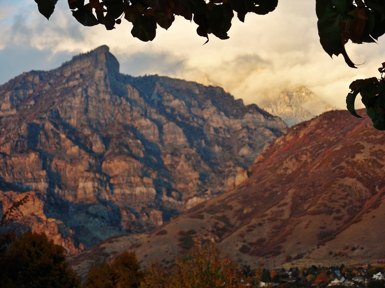 Photo: Pastelitodepapa, CC0 (via Wikimedia Commons)
Kyhv Peak
~2 min drive
 Photo: SocialMediaAdventure, CC BY 2.0 (via Flickr)
Tatooine
~2 min drive
 Photo: Aehlert95, CC BY-SA 4.0 (via Wikimedia Commons)
Little Rock Trail
~2 min drive
 Photo: Mike Scalora, CC BY-SA 2.5 (via Wikimedia Commons)
Bridal Veil Falls
~7 min drive
Map and trail data © OpenStreetMap contributors
