North Fork Sheep Creek
- 5.6 mi
- distance
- 1,144 ft
- climb
Is North Fork Sheep Creek open right now?
Alert in the area
The Forest Service lists 2 alerts for Ashley National Forest.
Anvil Draw Boat Ramp Temporary Closure
Agency alert covering Ashley National Forest · Order 0401-26-01-03 · USFS · Ashley National Forest
Flaming Gorge Reservoir Water Levels
Agency alert covering Ashley National Forest · USFS · Ashley National Forest
As of · Source: USFS · Ashley National Forest. Agencies don't list every closure — check before you go.
North Fork Sheep Creek is a mountain biking route in the Flaming Gorge Ranger District of Ashley National Forest in Utah, managed by the Forest Service. The ride covers about 5.6 miles, climbing roughly 1,144 feet from a low point of 9,064 feet to a high of 10,216 feet. The climb is a steady one, with the route gaining elevation over its length. The trailhead sits at the lower end, and the high point comes about halfway through the ride. The total gain of 1,144 feet makes this a ride with a clear objective rather than a flat loop. Several other outings lie within a few miles. Hickerson Park 'A' Trail and the North Fork Cutoff Trail are both hikes close by, and the Browne-Spirit Lake Trail is about 2.6 miles away. For an overnight stay, Browne Lake campground is about 9.5 miles off.
- Hickerson Park 'A' TrailHiking1.3 mi
- North Fork Cutoff TrailHiking1.6 mi
- Browne-Spirit Lake TrailHiking2.6 mi
- Burnt ForkRiver fishing5 mi
- Hoop LakeRiver fishing7.1 mi
- Lodgepole CreekCanoeing7.7 mi
- Browne LakeCamping9.5 mi
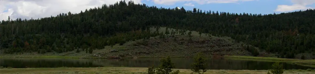 Browne Lake Group SitesCampingPhoto: Recreation.gov (RIDB) / public domain9.8 mi
Source: Roamze catalog (indexable pages within 10 miles, PostGIS distance)
 Beaver Creek-Weyman ParkMountain biking · ~12 min drivePhoto: RuggyBearLA, CC BY 2.0 (via Wikimedia Commons)
- Fish LakeMountain biking · ~7 min drive
- Kabell RidgeMountain biking · ~11 min drive
- Kabell LakeMountain biking · ~11 min drive
- Kabell MeadowsMountain biking · ~12 min drive
- Weyman CreekMountain biking · ~12 min drive
- North Slope Highline BMountain biking · ~13 min drive
- Burnt RidgeMountain biking · ~14 min drive
- Island LakeMountain biking · ~15 min drive
- Georges Park-Burnt Rdg ConnectMountain biking · ~15 min drive
Map and trail data © OpenStreetMap contributors
