Weyman Creek
- 1.2 mi
- distance
- 264 ft
- climb
Is Weyman Creek open right now?
Alert in the area
The Forest Service lists 2 alerts for Ashley National Forest.
Anvil Draw Boat Ramp Temporary Closure
Agency alert covering Ashley National Forest · Order 0401-26-01-03 · USFS · Ashley National Forest
Flaming Gorge Reservoir Water Levels
Agency alert covering Ashley National Forest · USFS · Ashley National Forest
As of · Source: USFS · Ashley National Forest. Agencies don't list every closure — check before you go.
Weyman Creek is a mountain biking route in the Flaming Gorge Ranger District of Ashley National Forest in Utah, managed by the Forest Service. The ride is short, about 1.2 miles long, and the climb is gentle, with a total elevation gain of 264 feet from a low point of about 8,764 feet to a high of about 9,019 feet. The closest neighbor is the Beaver Creek-Weyman Park trail, about 0.6 miles away. For a longer outing, the Browne-Spirit Lake hike lies about 1.2 miles off, and Browne Lake campground is about 2.4 miles away. Climbers can head to Sheep Creek - Windy Ridge, roughly 5 miles from the route.
 Beaver Creek-Weyman ParkMountain bikingPhoto: RuggyBearLA, CC BY 2.0 (via Wikimedia Commons)0.6 mi
- Browne-Spirit LakeHiking1.2 mi
- Browne LakeCamping2.4 mi
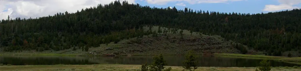 Browne Lake Group SitesCampingPhoto: Recreation.gov (RIDB) / public domain2.8 mi
 Sheep Creek - Windy RidgeRock climbingPhoto: Carpenter, Kenneth, CC BY-SA 4.0 (via Wikimedia Commons)5 mi
- Lodgepole CreekCanoeing5.2 mi
- ShredderRock climbingPhoto: Carpenter, Kenneth, CC BY-SA 4.0 (via Wikimedia Commons)5.5 mi
- Sheep CreekCanoeing6.2 mi
Source: Roamze catalog (indexable pages within 10 miles, PostGIS distance)
- Beaver Creek-Weyman ParkMountain biking · Next doorPhoto: RuggyBearLA, CC BY 2.0 (via Wikimedia Commons)
- North Fork Sheep CreekMountain biking · ~12 min drive
- Fish LakeMountain biking · ~19 min drive
- Queant Spur AMountain biking · ~22 min drive
- Kabell RidgeMountain biking · ~23 min drive
- QueantMountain biking · ~23 min drive
- Elkhorn-West ForkMountain biking · ~23 min drive
- Queant Spur EMountain biking · ~23 min drive
- Queant Spur BMountain biking · ~23 min drive
- Kabell LakeMountain biking · ~23 min drive
Map and trail data © OpenStreetMap contributors
