Wildcat Pass - Shingle Creek
- 3.6 mi
- round trip
- 1,646 ft
- climb
- 9,600 ft
- high point
- Out and back
- route
Is Wildcat Pass - Shingle Creek open right now?
Alert in the area
The Forest Service lists 2 alerts for Fishlake National Forest.
PST 66 Rock Canyon Trail Temporarily Closed
Agency alert covering Fishlake National Forest · USFS · Fishlake National Forest
TERMINATION OF STAGE 1 FIRE RESTRICTION ORDER
Agency alert covering Fishlake National Forest · Order 0408-26-10 · USFS · Fishlake National Forest
As of · Source: USFS · Fishlake National Forest. Agencies don't list every closure — check before you go.
Wildcat Pass - Shingle Creek is a 3.6-mile out-and-back hike in Utah's Fishlake National Forest, on the Beaver Ranger District. The trail rises from a low point of about 7,938 feet to a high of 9,600 feet, and the climb of 1,646 feet makes it a moderate route. The trail is open year round. It is a natural-surface route, and both horses and bikes are allowed. The pass lies within the Forest Service's national forest system, and the surrounding area draws riders and hikers alike. Within a couple of miles are the Shingle Creek Headwaters and Cove Creek - Indian Creek mountain biking areas. The South Fork of Pine Creek hike is about 1.7 miles away, and Indian Creek Dispersed Camping sits roughly 3.7 miles out.
Local outfitters
- Big Rock Candy Mountain14 mi away
- Cedar Mountain RV Resort37 mi away
Not on Roamze yet. Their page has how to reach them.
- Cove Creek - Indian CreekMountain biking0.9 mi
- Shingle Creek HeadwatersMountain biking1.2 mi
- Pine CreekMountain biking1.5 mi
- South Fork of Pine CreekHiking1.7 mi
- Line CanyonMountain biking1.7 mi
- Indian Creek Dispersed CampingCamping3.7 mi
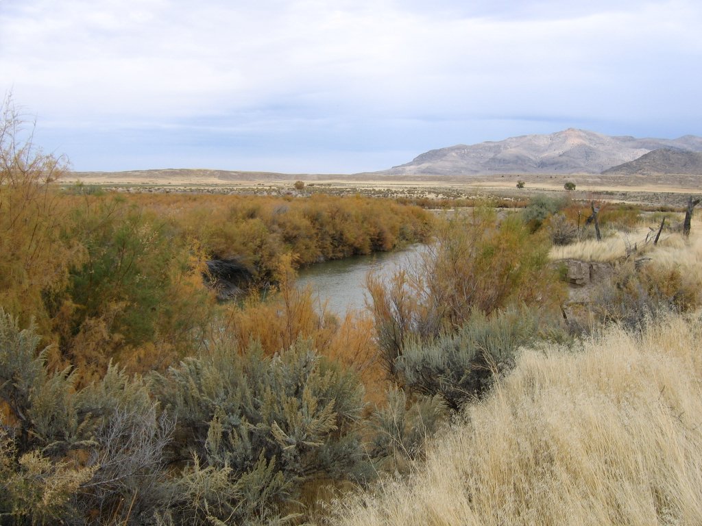 Sevier RiverCanoeingPhoto: w:Flickr user rcstanley, CC BY 2.0 (via Wikimedia Commons)5.2 mi
- Beaver Ranger DistrictLake fishing7.5 mi
Source: Roamze catalog (indexable pages within 10 miles, PostGIS distance)
 South Fork of North CreekHiking · ~12 min drivePhoto: Andrey Zharkikh, CC BY 2.0 (via Wikimedia Commons)
- WILDCAT PASS - SHINGLE CREEKHiking · ~3 min drive
- South Fork of Pine CreekHiking · ~3 min drive
- Cove Creek - Indian CreekHiking · ~4 min drive
- Pine CreekHiking · ~3 min drive
- Shingle MeadowsHiking · ~4 min drive
- Little North Cr.-Wittwer HillHiking · ~4 min drive
- CLEAR CREEK-MILL CREEKHiking · ~14 min drive
- Line CanyonHiking · ~4 min drive
- SOUTH FORK OF PINE CREEKHiking · ~4 min drive
Also worth it near here
- Sevier RiverCanoeing · ~9 min drivePhoto: w:Flickr user rcstanley, CC BY 2.0 (via Wikimedia Commons)
 Mount BelknapSummit · ~11 min drivePhoto: Intermountain Forest Service, USDA Region 4 Photography, Public domain (via Wikimedia Commons)
- Shingle Creek Dispersed CampingCamping · ~13 min drive
- Blue LakeLake fishing · ~13 min drive
