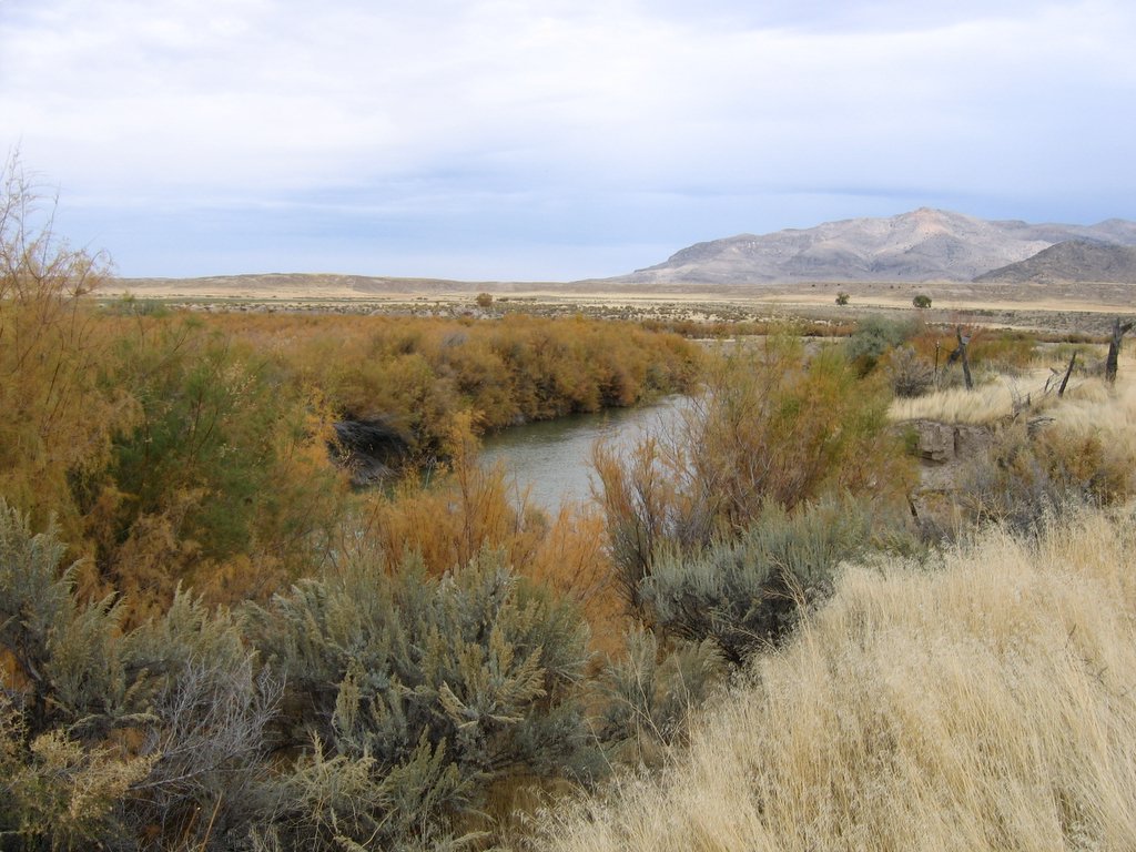
Line Canyon
- 5.0 mi
- round trip
- 1,278 ft
- climb
- 9,247 ft
- high point
- Out and back
- route
Is Line Canyon open right now?
Alert in the area
The Forest Service lists 2 alerts for Fishlake National Forest.
PST 66 Rock Canyon Trail Temporarily Closed
Agency alert covering Fishlake National Forest · USFS · Fishlake National Forest
TERMINATION OF STAGE 1 FIRE RESTRICTION ORDER
Agency alert covering Fishlake National Forest · Order 0408-26-10 · USFS · Fishlake National Forest
As of · Source: USFS · Fishlake National Forest. Agencies don't list every closure — check before you go.
Line Canyon is a 5-mile out-and-back hike in Utah's Fishlake National Forest, within the Beaver Ranger District. It starts and ends at a low point of about 8,073 feet and climbs to a high point of about 9,247 feet, with a total elevation gain of 1,278 feet. The Forest Service manages the land, and the trail is rated moderate. The trail's natural surface carries hikers, horses and bikes, which makes it a flexible choice for a single outing or a longer stay with a mount or a mountain bike. The open season runs from June 1 through October 31, so plan around those months. The surrounding area offers plenty to pair with the hike. Indian Creek Dispersed Camping is about 1.8 miles away, and Cove Creek - Indian Creek, a mountain biking route, is about 1.4 miles off. Wildcat Pass - Shingle Creek and the Sevier River, about 3.2 miles away, round out the options nearby.
Local outfitters
- Big Rock Candy Mountain13 mi away
- Cedar Mountain RV Resort38 mi away
Not on Roamze yet. Their page has how to reach them.
Keep exploring — more trails worth the drive
 Photo: Andrey Zharkikh, CC BY 2.0 (via Wikimedia Commons)
The Pocket
~12 min drive
The Pocket is a 4.80-mile out-and-back trail in Utah with 1,402 ft of elevation gain.
 Photo: Andrey Zharkikh, CC BY 2.0 (via Wikimedia Commons)
Mud Lake - Blue Lake
~11 min drive
1.20-mile out-and-back trail in Utah with 164 ft elevation gain.
Photo: Andrey Zharkikh, CC BY 2.0 (via Wikimedia Commons)Skyline National Recreation Tr
~12 min drive
22.80-mile out-and-back hike in Utah with 2,320 ft elevation gain.
HIKE
Cove Creek - Indian Creek
~8 min drive
28.98-mile out-and-back trail in Utah with 4,170 ft elevation gain.
Photo: Andrey Zharkikh, CC BY 2.0 (via Wikimedia Commons)South Fork of North Creek
~9 min drive
3.87-mile out-and-back trail in Utah with 661 ft elevation gain.
HIKE
WILDCAT PASS - SHINGLE CREEK
~5 min drive
1.38-mile out-and-back trail in Utah with 375 ft gain and 7,962 ft max elevation.
HIKE
Upper Trail Canyon
~7 min drive
12.20-mile out-and-back trail in Utah with 2,376 ft elevation gain.
HIKE
Trappers Creek
~6 min drive
2.50-mile out-and-back trail in Utah with 137 ft elevation gain.
HIKE
Shingle Loop
~7 min drive
Shingle Loop is a 2.40-mile out-and-back trail in Utah with 1,096 ft of elevation gain.
HIKE
Little North Cr.-Wittwer Hill
~8 min drive
8.68-mile out-and-back trail in Utah with 1,914 ft elevation gain.
Also worth it near here