Trail Spring Canyon
- 5.0 mi
- round trip
- 843 ft
- climb
- 7,673 ft
- high point
- Out and back
- route
- May–Sep
- best months
Is Trail Spring Canyon open right now?
Alert in the area
The Forest Service lists 2 alerts for Fishlake National Forest.
PST 66 Rock Canyon Trail Temporarily Closed
Agency alert covering Fishlake National Forest · USFS · Fishlake National Forest
TERMINATION OF STAGE 1 FIRE RESTRICTION ORDER
Agency alert covering Fishlake National Forest · Order 0408-26-10 · USFS · Fishlake National Forest
As of · Source: USFS · Fishlake National Forest. Agencies don't list every closure — check before you go.
Trail Spring Canyon is a 5-mile out-and-back hike in Utah's Fishlake National Forest, within the Fillmore Ranger District. The Forest Service manages the land, and the trail is rated moderate, with a total elevation gain of 843 feet from the low point at 6,812 feet to the high at 7,673 feet. The trail has a natural surface, and bikes are allowed. It stays open year-round. Late spring and early fall tend to be the most comfortable times to go. Typical averages from the nearby Koosharem weather station run from highs around 69°F in May to 75°F in September, with summer highs near 80 to 85°F. That station sits about 740 feet lower than the canyon's high point, so temperatures on the trail run cooler. Trial 1509 is about 1.7 miles away, and Crazy Hollow, a mountain biking area, is 1.9 miles off. Adelaide Campground lies roughly 4.7 miles away, and the Richfield climbing area is about 5.9 miles away.
Local outfitters
- Big Rock Candy Mountain16 mi away
- Cedar Mountain RV Resort17 mi away
Not on Roamze yet. Their page has how to reach them.
- Trial 1509Hiking1.7 mi
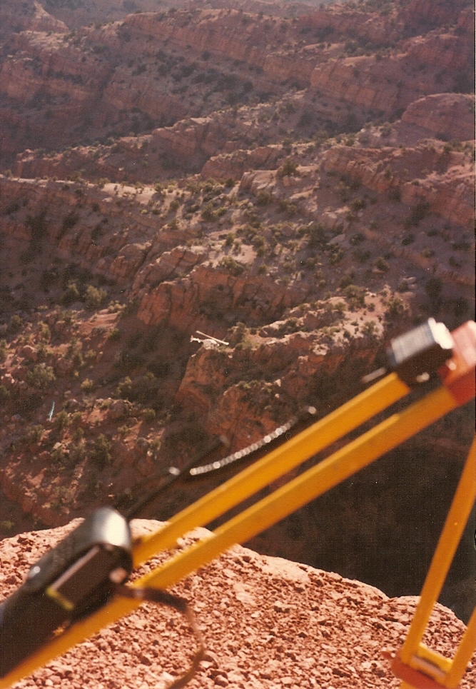 Crazy HollowMountain bikingPhoto: Lorne Kelly, CC BY-SA 3.0 (via Wikimedia Commons)1.9 mi
- CORN CREEK SPURHiking2.5 mi
- Adelaide - Rec SiteCamping4.6 mi
- Adelaide CampgroundCamping4.7 mi
- RichfieldRock climbing5.9 mi
- Fishlake National ForestRock climbing9.3 mi
- Meadow Rappel RockRock climbing9.3 mi
Source: Roamze catalog (indexable pages within 10 miles, PostGIS distance)
 FLAT CANYON TIE SPURHiking · ~12 min drivePhoto: Lorne Kelly, CC BY-SA 3.0 (via Wikimedia Commons)
- DEER CREEK CANYONHiking · ~13 min drivePhoto: Lorne Kelly, CC BY-SA 3.0 (via Wikimedia Commons)
- Pine Hollow - HorseflatHiking · ~4 min drive
- CORN CREEKHiking · ~11 min drive
- Flat Canyon Tie TrailHiking · ~12 min drivePhoto: Lorne Kelly, CC BY-SA 3.0 (via Wikimedia Commons)
- ALBINUS CANYONHiking · ~5 min drive
- AL GAY - HORSE FLAT CUTOFFHiking · ~5 min drive
- CORN CREEKHiking · ~4 min drive
- Trial 1509Hiking · ~3 min drive
- Devils Armchair-No Fk Corn CrHiking · ~6 min drive
Best time to visit Trail Spring Canyon
Best months: May–September. Best months have typical highs of 55–85 °F, lows of 30 °F or warmer (32 °F where the station doesn't record snow), at most one snowy day and no more than 12 wet days.
Jan
39° / 12°
6 wet
Feb
43° / 16°
6 wet
Mar
52° / 21°
7 wet
Apr
59° / 27°
6 wet
May
69° / 32°
5 wet
Jun
80° / 41°
4 wet
Jul
85° / 48°
7 wet
Aug
82° / 47°
9 wet
Sep
75° / 39°
7 wet
Oct
63° / 28°
6 wet
Nov
51° / 19°
5 wet
Dec
39° / 11°
5 wet
Typical high / low (°F) and days with rain or snow, 1991–2020. Measured at Koosharem, UT, 27.1 mi away at 6,930 ft. The station sits about 700 ft lower than this place, so expect it a little cooler here. This station doesn't record snowfall. Source: NOAA NCEI U.S. Climate Normals 1991–2020.
