South Fork Rock Creek Trail
- 4.5 mi
- round trip
- 3,299 ft
- climb
- 10,259 ft
- high point
- Out and back
- route
Is South Fork Rock Creek Trail open right now?
Alert in the area
The Forest Service lists 2 alerts for Ashley National Forest.
Anvil Draw Boat Ramp Temporary Closure
Agency alert covering Ashley National Forest · Order 0401-26-01-03 · USFS · Ashley National Forest
Flaming Gorge Reservoir Water Levels
Agency alert covering Ashley National Forest · USFS · Ashley National Forest
As of · Source: USFS · Ashley National Forest. Agencies don't list every closure — check before you go.
South Fork Rock Creek Trail is a hard hike in Utah's Ashley National Forest, within the Duchesne Ranger District. The trail is an out-and-back route of about 9 miles, with a total elevation gain of about 3,300 feet. The climb starts at roughly 9,200 feet and reaches a high point of about 10,260 feet, with the steepest stretch at about 4.1 miles in, where the grade reaches 42 percent. The trail is managed by the Forest Service, and the round trip takes about 4.5 hours. The route is long and steep, so plan for a full day on foot. South Fork Rock Creek is the closest nearby trail, about 0.1 mile away. Fairway Loop Trail and the Fairway Loop are both within about 2.3 miles. Upper Stillwater campground is about 2.8 miles away.
Local outfitters
- Midway Adventure Company38 mi away
- Rocky Mountain Outfitters39 mi away
Not on Roamze yet. Their page has how to reach them.
- South Fork Rock CreekHiking0.1 mi
- Fairway Loop TrailHiking2.1 mi
- FAIRWAY LOOPHiking2.3 mi
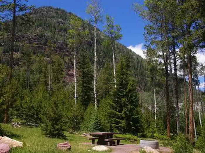 Upper StillwaterCampingPhoto: Recreation.gov (RIDB) / public domain2.8 mi
- Duchesne RiverCanoeing4.9 mi
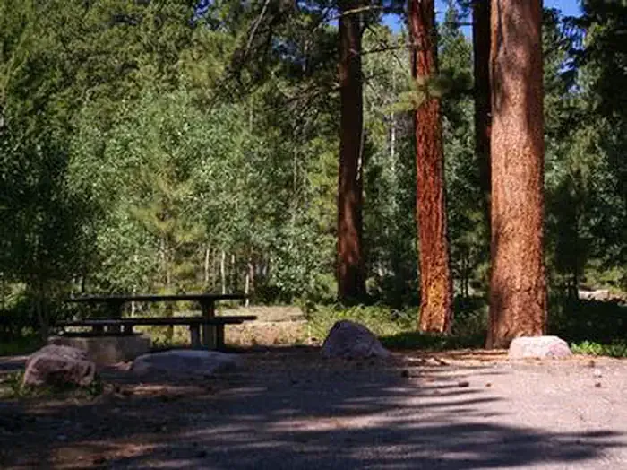 YellowpineCampingPhoto: Recreation.gov (RIDB) / public domain6.3 mi
- Carolyn LakeLake fishing8.3 mi
 Uinta MountainsRock climbingPhoto: Eugene Crosser, CC BY 3.0 (via Wikimedia Commons)9.4 mi
Source: Roamze catalog (indexable pages within 10 miles, PostGIS distance)
- South Fork Rock CreekHiking · Next door
- Lamarla LakeHiking · ~6 min drive
- Slope Hades Canyon TrailHiking · ~8 min drive
- ROCK CREEKHiking · ~6 min drive
- Fairway Loop TrailHiking · ~4 min drive
- Hades-Rocky Sea PassHiking · ~6 min drive
- Mohawk Lake TrailHiking · ~8 min drive
- FAIRWAY LOOPHiking · ~4 min drive
- Log Hollow (Wedge Hollow)Hiking · ~8 min drive
- PalisadeHiking · ~9 min drive
Map and trail data © OpenStreetMap contributors
