Mohawk Lake Trail
- 0.5 mi
- round trip
- 93 ft
- climb
- 10,424 ft
- high point
- Out and back
- route
Is Mohawk Lake Trail open right now?
Alert in the area
The Forest Service lists 2 alerts for Ashley National Forest.
Anvil Draw Boat Ramp Temporary Closure
Agency alert covering Ashley National Forest · Order 0401-26-01-03 · USFS · Ashley National Forest
Flaming Gorge Reservoir Water Levels
Agency alert covering Ashley National Forest · USFS · Ashley National Forest
As of · Source: USFS · Ashley National Forest. Agencies don't list every closure — check before you go.
Mohawk Lake Trail is an easy, short out-and-back hike in the High Uintas Wilderness, within the Duchesne Ranger District of Ashley National Forest in Utah. The Forest Service manages the land. The trail is about a mile long, and the route climbs roughly 90 feet from its low point of 10,363 feet to a high of 10,424 feet, with the steepest stretch at about 0.36 miles in from the start. The climb is front-loaded, so the bulk of the ascent comes early in the route. The hike takes about half an hour to complete. Because the trail is short and the elevation gain is low, it works well as a quick addition to a day in the area. The nearest town is Duchesne, a few miles away. Nearby, the Hades-Rocky Sea Pass mountain biking route lies about 0.6 miles away, and the Palisade hike is about 0.8 miles off. Carolyn Lake and Packard Lake, both about 5 miles away, offer fishing, and Iron Mine campground sits about 5.5 miles from the trail.
Local outfitters
- Midway Adventure Company35 mi away
- Rocky Mountain Outfitters36 mi away
Not on Roamze yet. Their page has how to reach them.
- Hades-Rocky Sea PassMountain biking0.6 mi
- PalisadeHiking0.8 mi
- Carolyn LakeLake fishing4.9 mi
- Packard LakeLake fishing4.9 mi
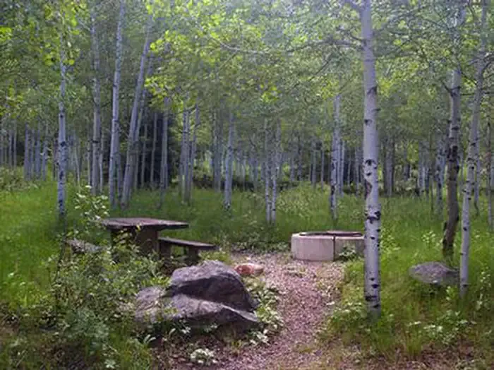 Iron MineCampingPhoto: Recreation.gov (RIDB) / public domain5.5 mi
 Wall Of TiersRock climbingPhoto: Glennfcowan, CC BY 3.0 (via Wikimedia Commons)5.9 mi
 HadesCampingPhoto: Recreation.gov (RIDB) / public domain6.2 mi
 Uinta MountainsRock climbingPhoto: Eugene Crosser, CC BY 3.0 (via Wikimedia Commons)6.6 mi
Source: Roamze catalog (indexable pages within 10 miles, PostGIS distance)
 Mirror LakeHiking · ~12 min drivePhoto: Glennfcowan, CC BY 3.0 (via Wikimedia Commons)
 Fehr LakeHiking · ~11 min drivePhoto: Glennfcowan, CC BY 3.0 (via Wikimedia Commons)
- Pine Island LoopHiking · ~5 min drive
- ROCK CREEKHiking · ~10 min drive
- Fairway Loop TrailHiking · ~7 min drive
- Mirror Lake ShorelineHiking · ~13 min drivePhoto: Glennfcowan, CC BY 3.0 (via Wikimedia Commons)
- Hades-Rocky Sea PassHiking · ~5 min drive
- Pinto LakeHiking · ~8 min drive
- PalisadeHiking · ~1 min drive
- Lamarla LakeHiking · ~6 min drive
Map and trail data © OpenStreetMap contributors
