Cowskin Campground
Campground
Campground · 1.2 mi from the trail
Shura Road is a hard, out-and-back hike of about 10.5 miles on Bureau of Land Management land in Utah's Moab Field Office. The route rises from a low point of 4,111 feet to a high of 5,050 feet, with an elevation gain of 1,073 feet one way. Spring and fall are the most comfortable times to go. Typical averages from the nearby Dewey weather station show October highs around 74°F and April highs near 73°F, with summer highs climbing into the 90s and 100s. The Adt - Utah - R - Seg 1 and Top Of The World Trail both start about a tenth of a mile away. Top of the World Road is about 1.6 miles off. For an overnight stay, Hittle Bottom Group Site is about 4 miles away.
Cowskin Campground
Campground
Sorrel River Grill
Restaurant
 If it rainsCarter Pape, CC BY-SA 4.0 · Wikimedia Commons
Hell's Revenge
Attraction
Places © OpenStreetMap contributors · Photos: Carter Pape, CC BY-SA 4.0 (commons)
More in MoabNot on Roamze yet. Their page has how to reach them.
 Mystery Towers & Top of the World OverlookRock climbingPhoto: Bureau of Land Management - Utah, Public domain (via Wikimedia Commons)4 mi
 Fisher TowersRock climbingPhoto: Greg Schaefer., CC BY 3.0 (via Wikimedia Commons)4.4 miEcho TowerRock climbingPhoto: Bureau of Land Management - Utah, Public domain (via Wikimedia Commons)4.4 mi
Source: Roamze catalog (indexable pages within 10 miles, PostGIS distance)
 Fisher Towers TrailHiking · ~8 min drivePhoto: John Fowler from Placitas, NM, USA, CC BY 2.0 (via Wikimedia Commons)
 Jimmy Keen TrailHiking · ~26 min drivePhoto: Fredlyfish4, CC BY-SA 4.0 (via Wikimedia Commons)
 Castleton Tower TrailHiking · ~19 min drivePhoto: Davemeistermoab, CC BY-SA 3.0 (via Wikimedia Commons)
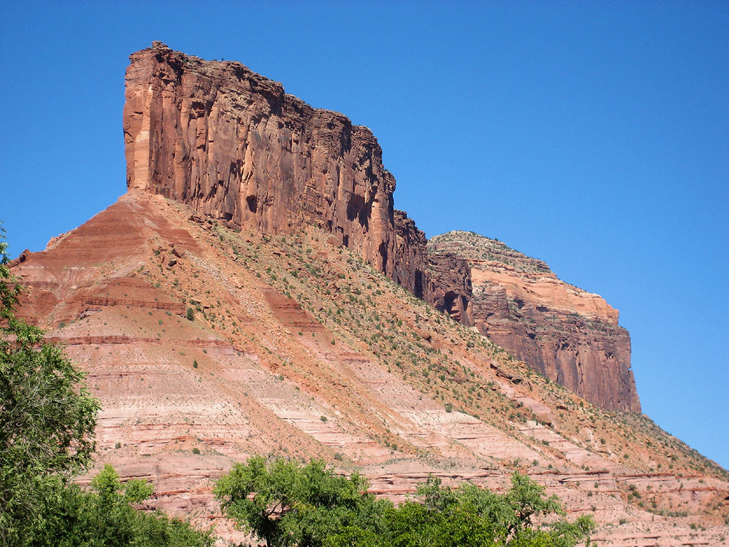 Cutler Rim TrailHiking · ~27 min drivePhoto: Argyleist, CC BY 2.0 (via Flickr)Upper Porcupine SingletrackHiking · ~26 min drivePhoto: Fredlyfish4, CC BY-SA 4.0 (via Wikimedia Commons)
Also worth it near here
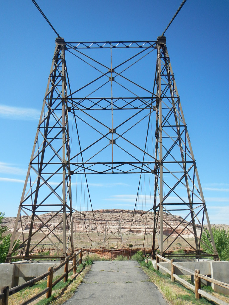 Dewey Bridge Dispersed CampgroundCamping · ~6 min drivePhoto: Saint Urho — CC BY 2.0 (via Flickr)Mystery Towers & Top of the World OverlookRock climbing · ~7 min drivePhoto: Bureau of Land Management - Utah, Public domain (via Wikimedia Commons)
Best months: April–May and October. Best months have typical highs of 55–85 °F, lows of 30 °F or warmer (32 °F where the station doesn't record snow), at most one snowy day and no more than 12 wet days.
Jan
42° / 16°
Feb
52° / 24°
Mar
65° / 31°
Apr
73° / 37°
May
83° / 45°
Jun
95° / 53°
Jul
101° / 60°
Aug
98° / 58°
Sep
90° / 48°
Oct
74° / 34°
Nov
57° / 24°
Dec
44° / 17°
Typical high / low (°F) and days with rain or snow, 1991–2020. Measured at Dewey, UT, 4 mi away at 4,120 ft. The station sits about 900 ft lower than this place, so expect it a little cooler here. This station doesn't record snowfall. Source: NOAA NCEI U.S. Climate Normals 1991–2020.
Map and trail data © OpenStreetMap contributors
