Hittle Bottom Group Site
Campground
Campground · < 0.1 mi from the trail
Hittle Bottom Recreation Site is located along the banks of the Colorado River, offering sweeping vistas of the river canyon, Fisher Towers, and striking red rock formations. The area is a popular launch site for Moab Daily river trips down the Colorado River. The campground has 15 individual campsites and one group campsite. The campground accommodates large RVs, as well as, tents. The site is ideal for small family or group gatherings. Visitors also enjoy the historic homestead on site. Within close proximity to national parks and open space, outdoor enthusiasts will enjoy hiking, mountain biking, whitewater rafting, and four-wheel drive tours in the surrounding area. The town of Moab is approximately 45 minutes away and has dining, shopping, sports rentals, tour companies and museums. Recreation: This site a popular launch site for river running and close to hiking, mountain biking and four-wheel driving opportunities. The river corridor is filled with canyons, trails and scenic vistas. Arches and Canyonlands National Parks are nearby and have many hiking trails and four-wheel drive roads. Campground: Campsites are located along the banks of the Colorado River offering sweeping vistas of Fisher Towers and Castle Valley. Individual sites are available on a first-come, first-serve basis. One group site is available for reservation through Recreation.gov. This campground is a very popular put-in for the Colorado "Daily" rafting trip. It has a boat ramp and is near popular dirt roads, rock climbing, hiking and rafting opportunities. (Do not enter the river without the required life jackets; it has dangerous under currents.) Group Site: There is one group campsite, which is reservable on recreation.gov. The group site has fire grates, picnic tables, vault toilets and a shade shelter. The group site does not have water, dump stations or electric hook ups.
Hittle Bottom Group Site
Campground
 If it rainsCarter Pape, CC BY-SA 4.0 · Wikimedia Commons
Hell's Revenge
Attraction
Places © OpenStreetMap contributors, Places © Overture Maps Foundation · Photos: Carter Pape, CC BY-SA 4.0 (commons)
More in MoabNot on Roamze yet. Their page has how to reach them.
Also worth it near here
 Fisher Towers TrailHiking · ~4 min drivePhoto: John Fowler from Placitas, NM, USA, CC BY 2.0 (via Wikimedia Commons)
 Fisher TowersRock climbing · ~4 min drivePhoto: Greg Schaefer., CC BY 3.0 (via Wikimedia Commons)
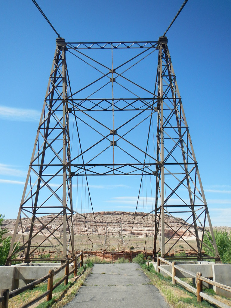 Dewey Bridge Dispersed CampgroundCamping · ~7 min drivePhoto: Saint Urho — CC BY 2.0 (via Flickr)
Best months: April–May and October. Best months have typical highs of 55–85 °F, lows of 30 °F or warmer (32 °F where the station doesn't record snow), at most one snowy day and no more than 12 wet days.
Jan
42° / 16°
Feb
52° / 24°
Mar
65° / 31°
Apr
73° / 37°
May
83° / 45°
Jun
95° / 53°
Jul
101° / 60°
Aug
98° / 58°
Sep
90° / 48°
Oct
74° / 34°
Nov
57° / 24°
Dec
44° / 17°
Typical high / low (°F) and days with rain or snow, 1991–2020. Measured at Dewey, UT, 3.9 mi away at 4,120 ft. This station doesn't record snowfall. Source: NOAA NCEI U.S. Climate Normals 1991–2020.
