Shingle Cr - No Cr Divide
- 3.2 mi
- round trip
- 977 ft
- climb
- 9,359 ft
- high point
- Out and back
- route
Is Shingle Cr - No Cr Divide open right now?
Alert in the area
The Forest Service lists 2 alerts for Fishlake National Forest.
PST 66 Rock Canyon Trail Temporarily Closed
Agency alert covering Fishlake National Forest · USFS · Fishlake National Forest
TERMINATION OF STAGE 1 FIRE RESTRICTION ORDER
Agency alert covering Fishlake National Forest · Order 0408-26-10 · USFS · Fishlake National Forest
As of · Source: USFS · Fishlake National Forest. Agencies don't list every closure — check before you go.
Shingle Cr - No Cr Divide is a 3.2-mile out-and-back hike in Utah's Fishlake National Forest, on the Beaver Ranger District. The trail rises from about 8,387 feet to 9,359 feet, a climb of 977 feet, and is rated moderate. The Forest Service manages the land. The trail is natural-surface and allows both horses and bikes, so it works for riders and pack animals as well as hikers. It stays open from June through October, which makes it a good fit for late spring and early fall trips when the weather is most comfortable. Shingle Creek Headwaters and Trail 3085 both sit about 0.1 mile away. Shingle Loop is half a mile off. Indian Creek Dispersed Camping is roughly 5.6 miles away for those wanting to camp near the trail.
Local outfitters
- Big Rock Candy Mountain12 mi away
- Cedar Mountain RV Resort35 mi away
Not on Roamze yet. Their page has how to reach them.
Keep exploring — more trails worth the drive
HIKE
Shingle Loop
Next door
Shingle Loop is a 2.40-mile out-and-back trail in Utah with 1,096 ft of elevation gain.
HIKE
Serviceberry
~2 min drive
3.58-mile out-and-back trail in Utah with 190 ft of elevation gain.
HIKE
Cove Creek - Indian Creek
~2 min drive
28.98-mile out-and-back trail in Utah with 4,170 ft elevation gain.
HIKE
Little North Cr.-Wittwer Hill
~4 min drive
8.68-mile out-and-back trail in Utah with 1,914 ft elevation gain.
HIKE
Shingle Meadows
~1 min drive
1.00-mile out-and-back trail in Utah with 277 ft elevation gain.
HIKE
Wildcat Pass - Shingle Creek
~4 min drive
3.60-mile out-and-back trail in Utah with 133 ft gain.
HIKE
CLEAR CREEK-MILL CREEK
~9 min drive
15.52-mile out-and-back trail in Utah with 2,601 ft elevation gain and loss.
HIKE
Upper Trail Canyon
~5 min drive
12.20-mile out-and-back trail in Utah with 2,376 ft elevation gain.
HIKE
Shingle Meadows
~1 min drive
Shingle Meadows is a 3.94-mile out-and-back trail in Utah with 589 feet of elevation gain.
HIKE
Pine Creek
~5 min drive
Pine Creek is a 4-mile out-and-back trail in Utah with 2,386 ft of elevation gain.
Also worth it near here
BED
Shingle Creek Dispersed Camping
~8 min drive
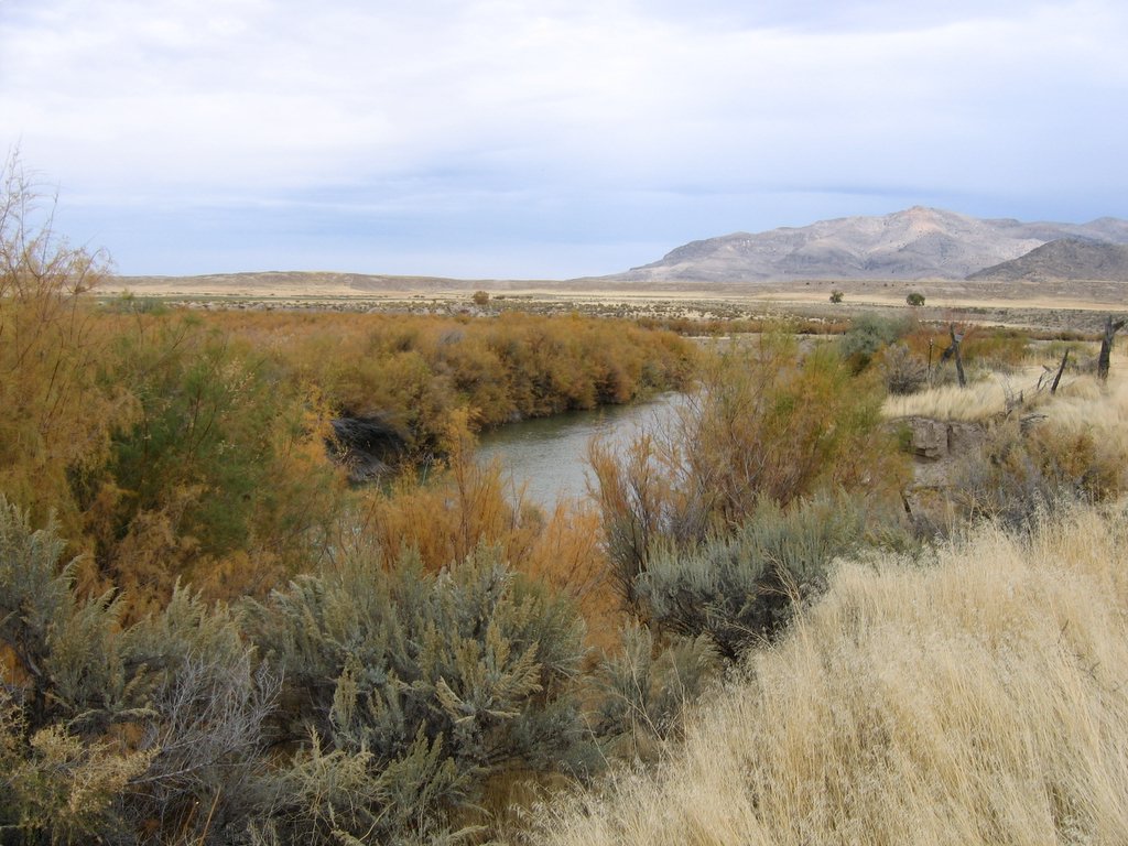 Photo: w:Flickr user rcstanley, CC BY 2.0 (via Wikimedia Commons)
Sevier River
~10 min drive
 Photo: Intermountain Forest Service, USDA Region 4 Photography, Public domain (via Wikimedia Commons)
Mount Belknap
~13 min drive
SEE
Beaver Ranger District
~15 min drive
