Hideout Canyon Camping Area
Campground
Campground · 1.6 mi from the trail
Rose Garden Hill Trail is a hard hike on Bureau of Land Management land within the Moab Field Office in Utah. It is an out-and-back route of about 13.4 miles, with a total elevation gain of about 1,328 feet, climbing from roughly 5,228 feet to about 6,334 feet. Spring and fall are the most comfortable times to go. Typical averages from a nearby weather station show May highs around 70°F and October highs around 63°F, while July averages reach 88°F and winter highs sit in the upper 30s. The trail starts close to the Hideout Road hike and the Hideout Wall climbing area, both about a mile away. Within about 4 miles are the Fisher Mesa Cutoff Trail and Mystery Towers & Top of the World Overlook.
Hideout Canyon Camping Area
Campground
Sorrel River Grill
Restaurant
 If it rainsCarter Pape, CC BY-SA 4.0 · Wikimedia Commons
Hell's Revenge
Attraction
Places © OpenStreetMap contributors · Photos: Carter Pape, CC BY-SA 4.0 (commons)
More in MoabNot on Roamze yet. Their page has how to reach them.
 Mystery Towers & Top of the World OverlookRock climbingPhoto: Bureau of Land Management - Utah, Public domain (via Wikimedia Commons)3.9 mi
 Onion CreekRock climbingPhoto: Bureau of Land Management - Utah, Public domain (via Wikimedia Commons)4.1 mi
Source: Roamze catalog (indexable pages within 10 miles, PostGIS distance)
 Fisher Towers TrailHiking · ~9 min drivePhoto: John Fowler from Placitas, NM, USA, CC BY 2.0 (via Wikimedia Commons)
 Jimmy Keen TrailHiking · ~18 min drivePhoto: Fredlyfish4, CC BY-SA 4.0 (via Wikimedia Commons)
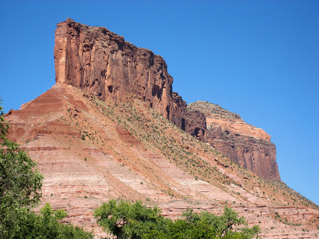 Cutler Rim TrailHiking · ~21 min drivePhoto: Argyleist, CC BY 2.0 (via Flickr)
 Castleton Tower TrailHiking · ~15 min drivePhoto: Davemeistermoab, CC BY-SA 3.0 (via Wikimedia Commons)Vista Grande LoopHiking · ~22 min drivePhoto: Argyleist, CC BY 2.0 (via Flickr)Upper Porcupine SingletrackHiking · ~18 min drivePhoto: Fredlyfish4, CC BY-SA 4.0 (via Wikimedia Commons)
Also worth it near here
Mystery Towers & Top of the World OverlookRock climbing · ~7 min drivePhoto: Bureau of Land Management - Utah, Public domain (via Wikimedia Commons) Round MountainSummit · ~16 min drivePhoto: Ron Clausen, CC BY-SA 4.0 (via Wikimedia Commons)
Best months: April–June and August–September. Best months have typical highs of 55–85 °F, lows of 30 °F or warmer (32 °F where the station doesn't record snow), at most one snowy day and no more than 12 wet days.
Jan
39° / 12°
7 wet
Feb
42° / 17°
7 wet
Mar
52° / 25°
8 wet
Apr
59° / 32°
7 wet
May
70° / 39°
6 wet
Jun
82° / 48°
4 wet
Jul
88° / 55°
6 wet
Aug
85° / 52°
7 wet
Sep
76° / 43°
7 wet
Oct
63° / 31°
7 wet
Nov
49° / 22°
6 wet
Dec
38° / 12°
8 wet
Typical high / low (°F) and days with rain or snow, 1991–2020. Measured at Glade Park 17w, CO, 20.4 mi away at 6,323 ft. This station doesn't record snowfall. Source: NOAA NCEI U.S. Climate Normals 1991–2020.
Map and trail data © OpenStreetMap contributors
