Goose Island Campground
Campground
Campground · 3.5 mi from the trail
 Photo: inkknife_2000 (7.5 million views +), CC BY-SA 2.0 (via Wikimedia Commons)
No closures listed
The National Park Service lists no closures for Arches National Park.
As of · Source: NPS · Arches National Park. Agencies don't list every closure — check before you go.
Ring Arch Trail is a short, easy out-and-back hike in Arches National Park in Utah, managed by the National Park Service. The trail is about 1.4 miles long, and the round trip covers roughly 2.9 miles with a total elevation gain of about 325 feet. The high point is around 4,242 feet, and the steepest stretch comes at about 0.68 miles in, with a grade of about 4 percent. Spring and fall are the most comfortable times to go. Typical averages from a nearby weather station show April highs around 70°F and October highs around 72°F, while July averages near 99°F. The Courthouse Wash Trail starts just 0.1 mile away, and the Park Avenue Viewpoint and Trail is about 1.7 miles off. Climbers can head to Zippy Zebra Wall, about 2 miles away, and Goose Island Campground is about 3.5 miles away for an overnight stay.
Goose Island Campground
Campground
 If it rainsCarter Pape, CC BY-SA 4.0 · Wikimedia Commons
Hell's Revenge
Attraction
Places © OpenStreetMap contributors, Places © Overture Maps Foundation · Photos: Carter Pape, CC BY-SA 4.0 (commons)
More in MoabNot on Roamze yet. Their page has how to reach them.
Courthouse Wash TrailHikingPhoto: inkknife_2000 (7.5 million views +), CC BY-SA 2.0 (via Wikimedia Commons)0.1 mi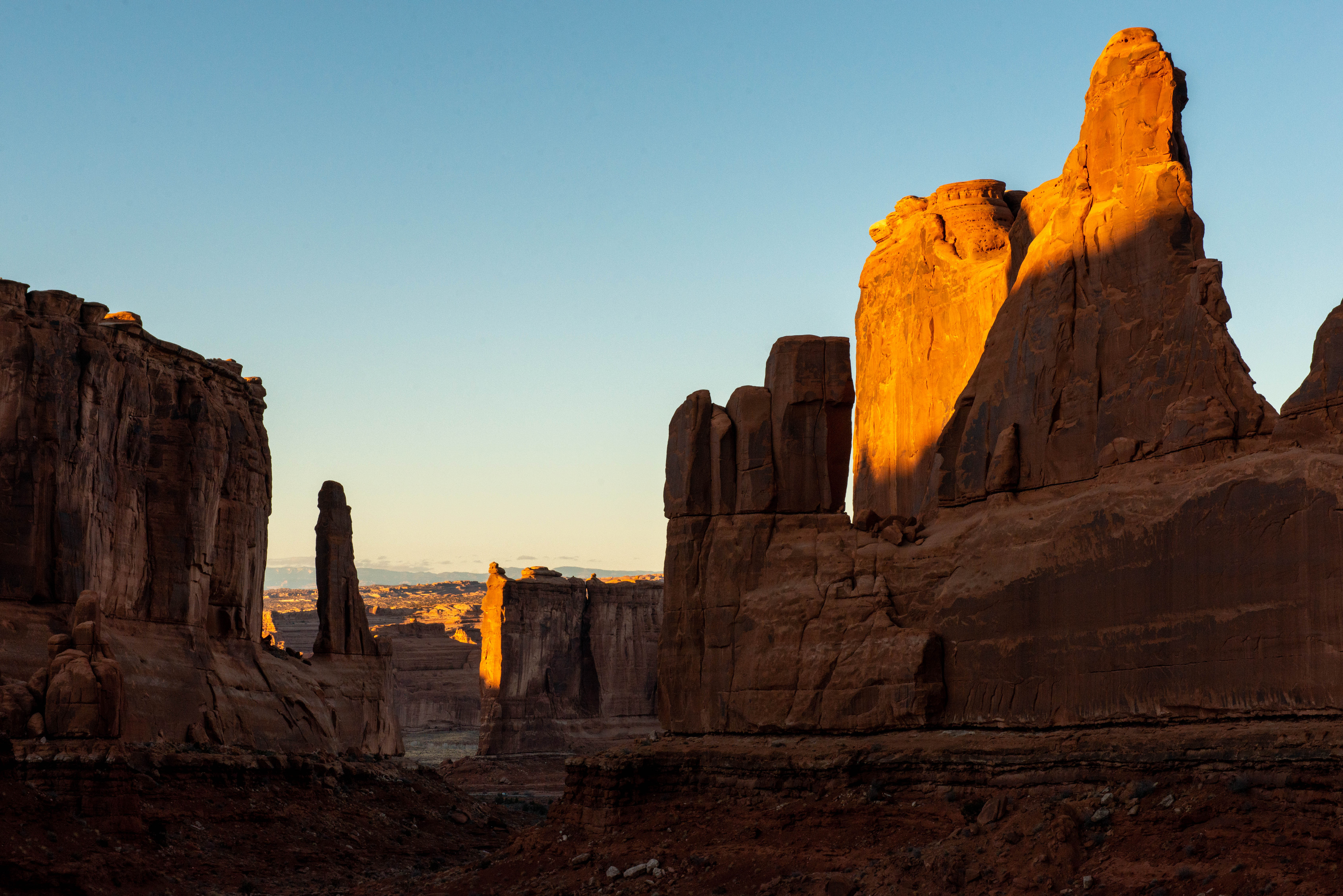 Park Avenue Viewpoint and TrailHikingPhoto: NPS/Veronica Verdin1.7 mi
 Zippy Zebra WallRock climbingPhoto: Vadim Manuylov, CC BY-SA 3.0 (via Wikimedia Commons)2 mi
 Arches National ParkRock climbingPhoto: inkknife_2000 (7.5 million views +), CC BY-SA 2.0 (via Wikimedia Commons)2.2 mi
 Northside RoutesRock climbingPhoto: DXR, CC BY-SA 4.0 (via Wikimedia Commons)3.2 mi
Source: Roamze catalog (indexable pages within 10 miles, PostGIS distance)
 Magician TrailHiking · ~7 min drivePhoto: Don Graham from Redlands, CA, USA - God bless it!, CC BY-SA 2.0 (via Wikimedia Commons)
 Balanced Rock TrailHiking · ~7 min drivePhoto: Bruce Andersen, CC BY 3.0 (via Wikimedia Commons)
Also worth it near here
 Tower of BabelSummit · ~1 min drivePhoto: Alen Ištoković, CC BY 3.0 (via Wikimedia Commons)
 Park AvenueRock climbing · ~3 min drivePhoto: logopop, CC BY-SA 3.0 (via Wikimedia Commons)
 Bar B EastMountain biking · ~4 min drivePhoto: Jacob Montgomery, CC BY-SA 3.0 (via Wikimedia Commons)
Best months: March–May and October–November. Best months have typical highs of 55–85 °F, lows of 30 °F or warmer (32 °F where the station doesn't record snow), at most one snowy day and no more than 12 wet days.
Jan
42° / 22°
4 wet
Feb
50° / 29°
4 wet
Mar
62° / 37°
5 wet
Apr
70° / 44°
5 wet
May
80° / 53°
5 wet
Jun
93° / 63°
3 wet
Jul
99° / 70°
5 wet
Aug
96° / 68°
6 wet
Sep
87° / 58°
5 wet
Oct
72° / 44°
5 wet
Nov
56° / 33°
4 wet
Dec
42° / 24°
4 wet
Typical high / low (°F) and days with rain or snow, 1991–2020. Measured at Arches Np Hqs, UT, 2.5 mi away at 4,093 ft. This station doesn't record snowfall. Source: NOAA NCEI U.S. Climate Normals 1991–2020.
Map and trail data © OpenStreetMap contributors
