
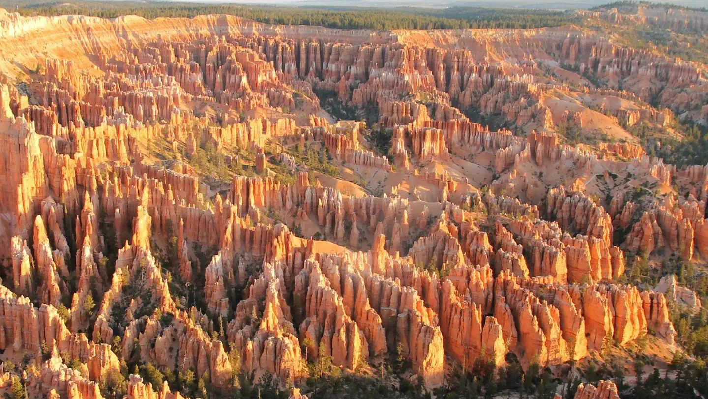

Ruby's Inn Bryce Canyon RV Park & Campground
Hiking business nearby (~3 mi away) — hasn't claimed their Roamze page yet
Free — you'll pick up right here.
Watch this trail
Sign up to watch it — saving subscribes you to gate, closure and report changes.
Utah
3.2 mi
Distance
1,018 ft
Gain
1h 35m
Time
Weather is good
1 factor · 1 source
Observed 16 h ago
clear: Weather
Clear, high 68°F / low 65°F, 0% precip — 100/100 for hike
OpenWeather16 h ago
Been out here in the last few days? One report keeps this current for everyone.
Why you'll love it
Rim Trail Sunset Point Trailhead
AI-suggested draft · review before you go
No permit or access details on file for this trail — check with the local land manager before you go.
<h3>The Rim Trail</h3> <p><strong>Difficulty: Varies (Easy to Moderate)<br /> Total Distance: 5.5 miles (8.9 km)<br /> Ascent/Descent (South to North): 1,330 feet (405 m) / 1,825 feet (556 m)<br /> Average time: 3-4 hours</strong></p> <p>The 5.5 mile (8.9 km) Rim Trail begins in the south at Bryce Point and ends in the north at Fairyland Point. The trail connects all viewpoints in the Bryce Amphitheater area and can be accessed at each of them.<br /> From here, turn left to travel north to Sunrise Point. Turn right to travel south to Inspiration Point.</p> <h4><strong>Recommended</strong></h4> <p>The section between Sunrise and Sunset Points is 0.5 miles (0.8 km), paved and has only minor elevation changes; this portion is wheelchair accessible except in severe weather.<br /> This section between Sunrise and Sunset Points is also the only section of the Rim Trail pets are allowed on; all pets must be on leash and owners must pick up after them. <br /> During shuttle season, hikers may use stops here, at Inspiration, Bryce, and Sunrise Points to complete one-way hikes. Fairyland Point has no shuttle service. The section from Bryce to Inspiration is closed in winter.</p> <h4>Distances and Elevation Change</h4> <p><strong>Bryce Point to Inspiration Point:</strong> 1.5 miles (2.4 km) +556 feet / -702 feet<br /> <strong>Inspiration Point to Sunset Point:</strong> 0.7 miles (1.1 km) +104 feet / -242 feet<br /> <strong>Sunset Point to Sunrise Point: </strong>0.5 miles (0.8 km) +82 feet / -65 feet<br /> <strong>Sunrise Point to Fairyland Point: </strong>2.8 miles (4.5 km) +182 feet / -399 feet</p>
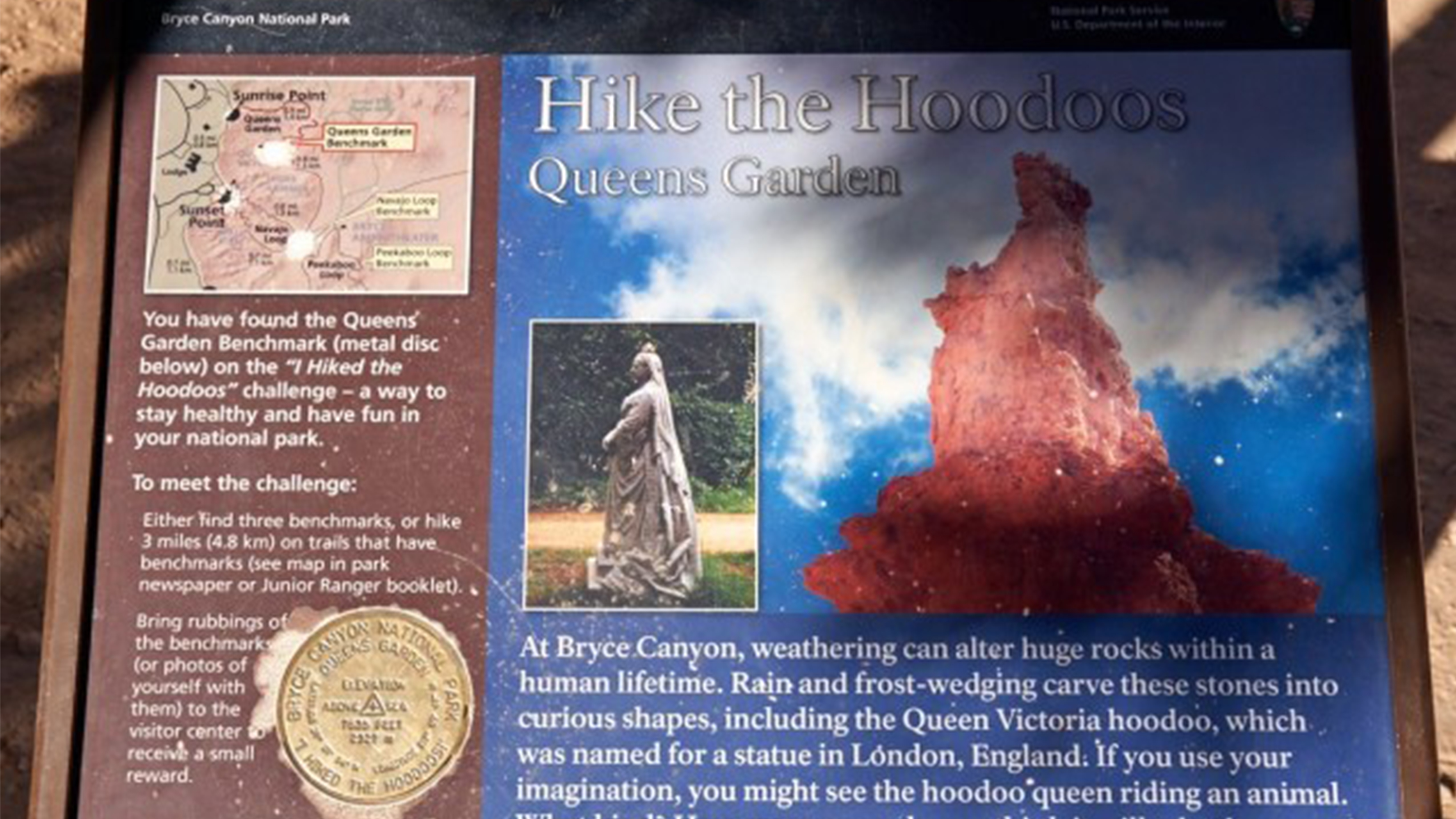
Queens Garden Hike the Hoodoos
~1 min drive
<h2>I Hiked the Hoodoos</h2> <p>Hiking is great exercise and Bryce Canyon's "I Hiked the Hoodoos!" program is not just hiking, it's also a scavenger hunt with a special reward!<br /> <br /> <strong>1. Hike a minimum of 3 mi / 4.8 km, or find at least 3 benchmarks and complete…
Rubys Inn 2 Snow Trail
~5 min drive
Easy 2.7-mile winter snow trail near Bryce Canyon with minimal elevation gain.
Old Bryce Town Loop Snow Trail
~5 min drive
Easy winter loop near Bryce Canyon with gentle terrain and seasonal snow.
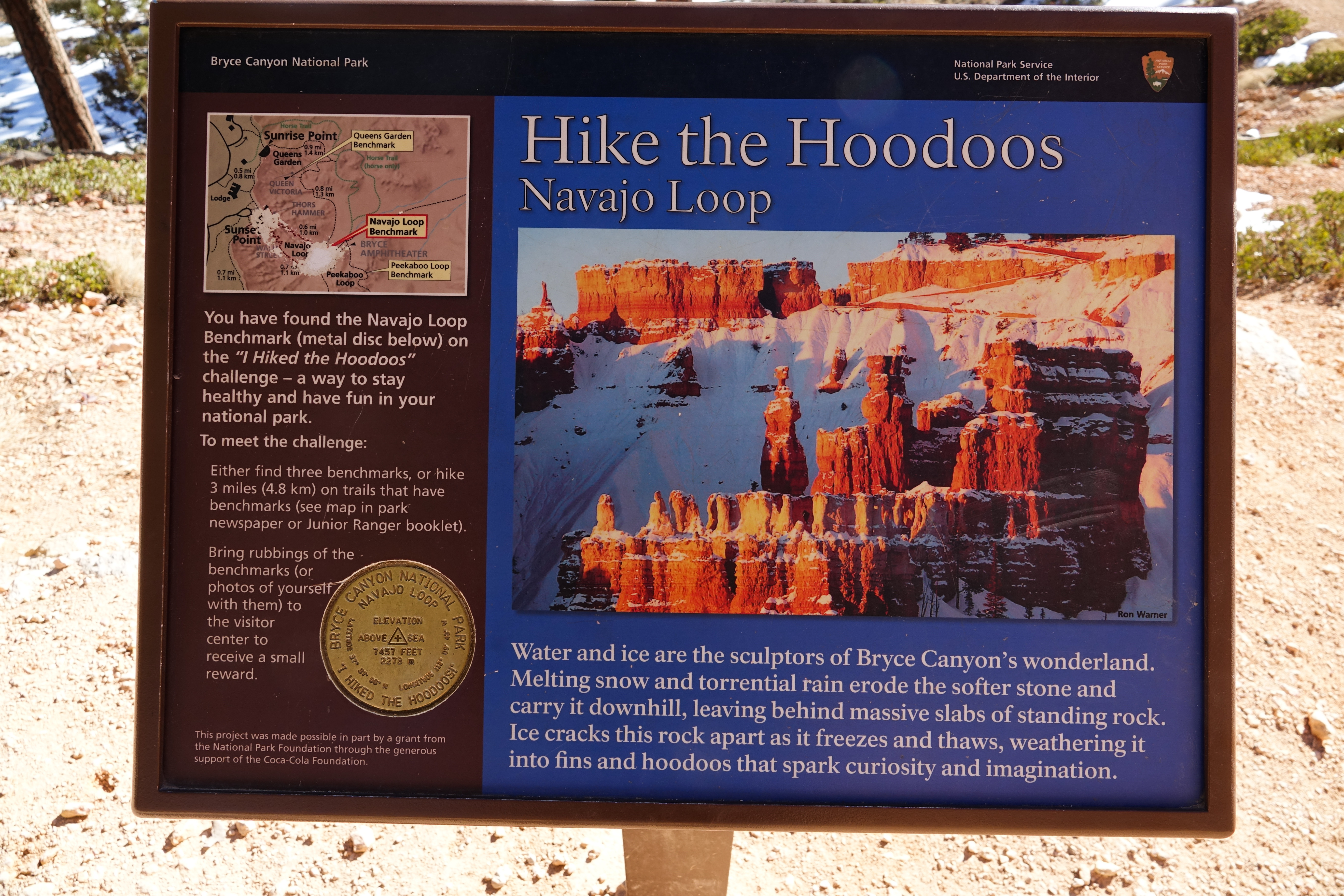
Navajo Loop Hike the Hoodoos
~1 min drive
<h2>I Hiked the Hoodoos</h2> <p>Hiking is great exercise and Bryce Canyon's "I Hiked the Hoodoos!" program is not just hiking, it's also a scavenger hunt with a special reward!<br /> <br /> <strong>1. Hike a minimum of 3 mi / 4.8 km, or find at least 3 benchmarks and complete…
Rim Snow Trail
~5 min drive
Easy 1.32-mile rim walk with minimal elevation gain.
Daves Hollow Snow Trail
~6 min drive
Easy 3-mile winter snowshoe trail with minimal elevation gain.
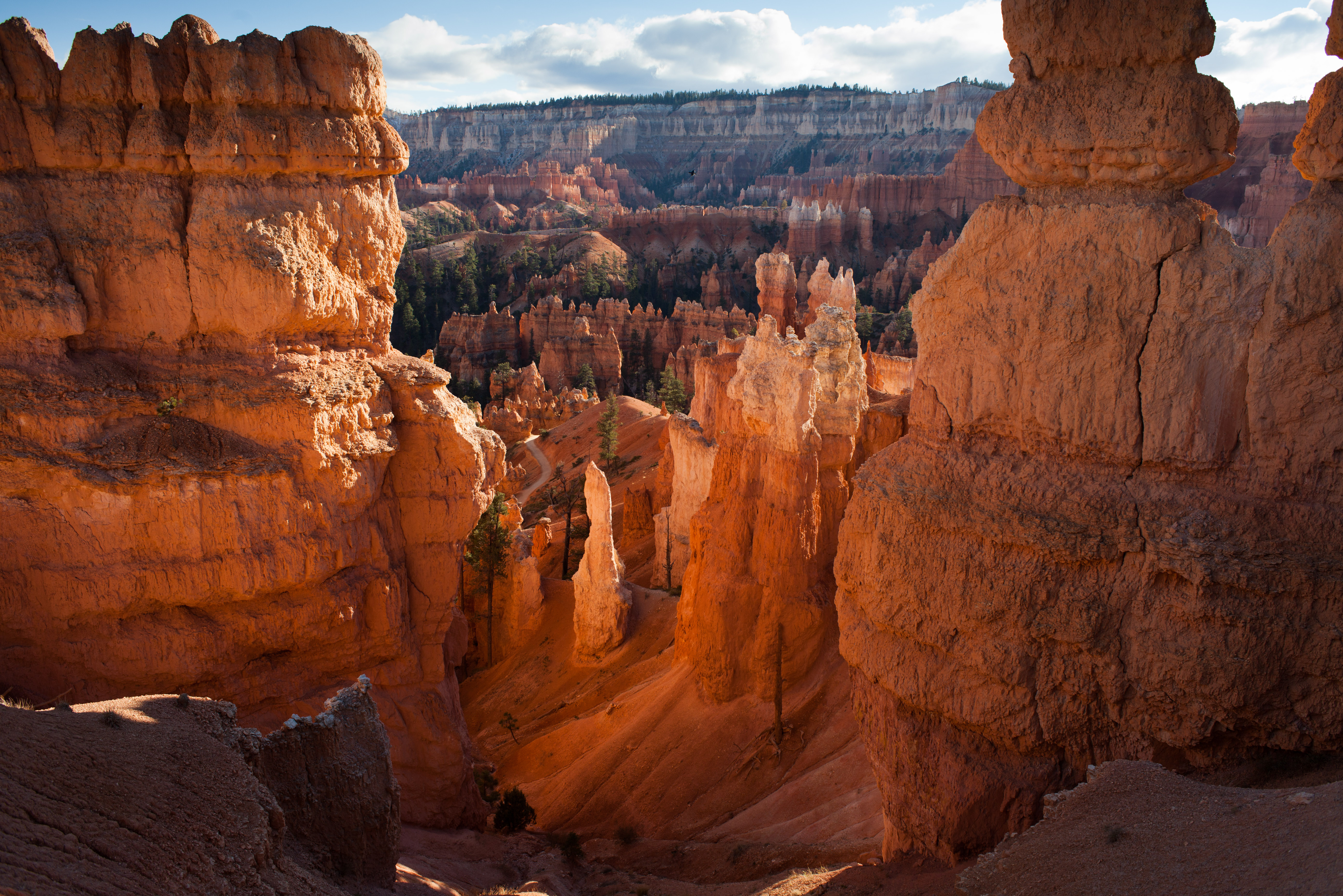
Queens Garden Trailhead
~1 min drive
<h3>Queen's Garden Trail</h3> <p><strong>Difficulty: Moderate<br /> Total Distance: 1.8 miles (3.0 km)<br /> Elevation change: 320 feet (98 m)<br /> Average time: 1-2 hours</strong><br /> <br /> One of the park's most popular trails, the Queen's Garden trail descends and bends…
Ruby Rim B Loop
~5 min drive
Easy 1.68-mile loop with minimal elevation gain near Ruby Rim.
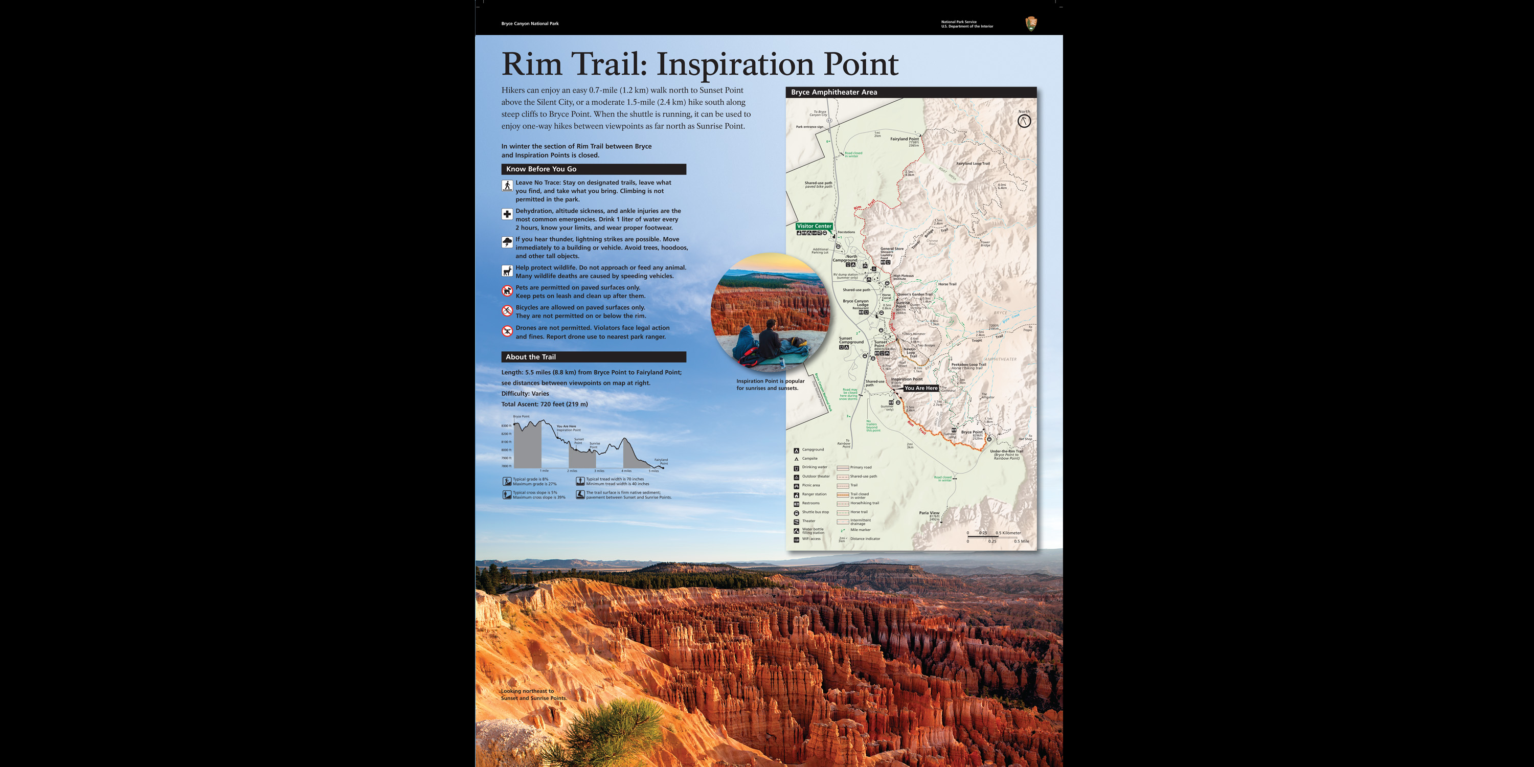
Rim-Trail Inspiration Point wayside
~1 min drive
Rim Trail: Inspiration Point Orientation<br /> <br /> Hikers can enjoy an easy 0.7-mile (1.2 km) walk north to Sunset Point above the Silent City, or a moderate 1.5-mi (2.4 km) hike south along steep cliffs to Bryce Point. When the shuttle is running, it can be used to enjoy o…
Ruby Rim Loop
~6 min drive
Easy 2.3-mile rim loop with minimal elevation gain near Ruby, Utah.
Local operatorsoffering guided trips. You book directly with them — Roamze doesn’t take a cut.
Ruby's Inn Bryce Canyon RV Park & Campground
Hiking business nearby (~3 mi away) — hasn't claimed their Roamze page yet
Bryce Canyon Horseback Tours
Hiking business nearby (~4 mi away) — hasn't claimed their Roamze page yet
Red Canyon Village
Hiking business nearby (~14 mi away) — hasn't claimed their Roamze page yet