Rim Trail
- 5.4 mi
- distance
- 769 ft
- climb
- 8,376 ft
- high point
- Lollipop
- route
- May–Oct
- best months
Is Rim Trail open right now?
Closure in the area
There's a closure order in Bryce Canyon National Park. It doesn't name Rim Trail, so check the source for the area it covers.
Trail Closures Due to Recent Weather
Park closure covering Bryce Canyon National Park · NPS · Bryce Canyon National Park
Current Fire Restrictions
Park alert covering Bryce Canyon National Park · NPS · Bryce Canyon National Park
As of · Source: NPS · Bryce Canyon National Park. Agencies don't list every closure — check before you go.
Rim Trail is a 5.4-mile loop in Bryce Canyon National Park in Utah, managed by the National Park Service. The trail rises from a low point of 7,774 feet to a high of 8,376 feet, with a total elevation gain of 769 feet. It is a moderate hike, and the Rim Trail Sunset Point Trailhead sits just 0.1 mile away. Summer is the most comfortable time to go. Typical averages from a nearby weather station show July highs around 80°F with lows near 52°F, while winter highs stay in the upper 30s. The station sits a few hundred feet lower than the trail's high point, so temperatures on the rim run a little cooler. The trail makes an easy pairing with other hikes close by. Queens Garden Trail and Queens Garden Hike the Hoodoos are each about 0.3 mile away, and North Campground and Sunset Campground are both about 0.7 mile off.
Local outfitters
- Ruby's Inn Bryce Canyon RV Park & Campground3 mi away
- Bryce Canyon Horseback Tours3 mi away
Not on Roamze yet. Their page has how to reach them.
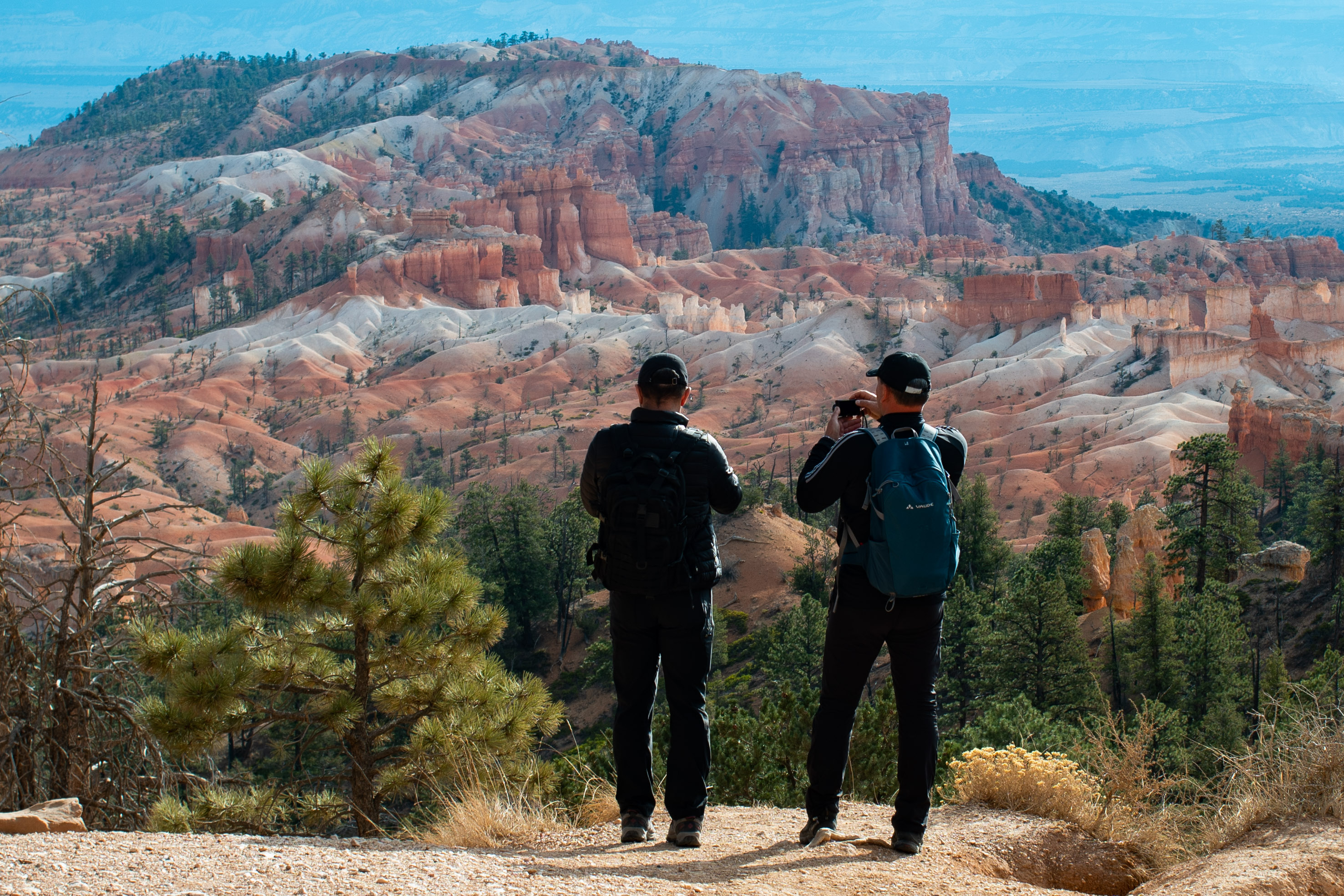 Rim Trail Sunset Point TrailheadHikingPhoto: NPS Photo / Peter Densmore0.1 mi
- Hotel Access TrailHiking0.2 mi
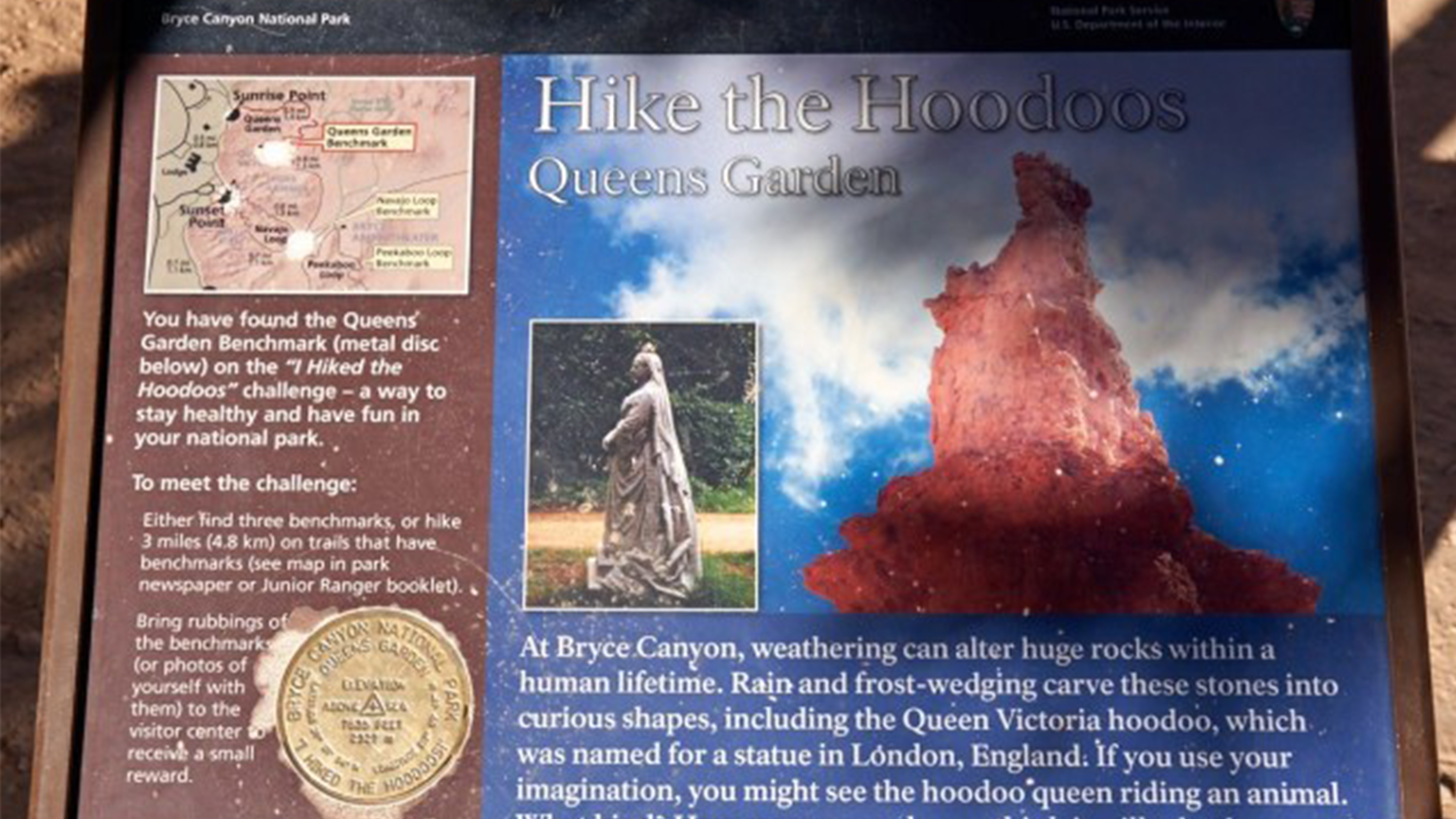 Queens Garden Hike the HoodoosHikingPhoto: NPS Photo0.3 mi
 Queens Garden TrailHikingPhoto: IamtheDarkRanger, CC BY 3.0 (via Wikimedia Commons)0.3 mi
- North Campground (UT)Camping0.7 mi
- Sunset Campground (UT)Camping0.7 mi
- Kings CreekCamping4.5 mi
- Powell Ranger DistrictLake fishing8.1 mi
Source: Roamze catalog (indexable pages within 10 miles, PostGIS distance)
- Rim Trail Sunset Point TrailheadHiking · Next door
- Queens Garden Hike the HoodoosHiking · Next door
- Queens Garden TrailHiking · Next doorPhoto: IamtheDarkRanger, CC BY 3.0 (via Wikimedia Commons)
- Navajo Loop Trailhead waysideHiking · Next door
- Tower Bridge Hike the Hoodoos waysideHiking · Next door
- Tower Bridge and Fairyland Loop TrailheadsHiking · Next door
- Navajo Loop TrailheadHiking · Next door
- Rim-Trail Inspiration Point waysideHiking · ~1 min drive
- Rim Trail Inspiration Point TrailheadHiking · ~1 min drive
- Queens Garden to Navajo Loop Connector TrailHiking · Next doorPhoto: IamtheDarkRanger, CC BY 3.0 (via Wikimedia Commons)
Also worth it near here
- Two BridgesNatural arch · ~1 min drive
 The CathedralSummit · ~1 min drivePhoto: George A. Grant, Public domain (via Wikimedia Commons)
 Ruby Rim Loop A TrailMountain biking · ~4 min drivePhoto: brewbooks from near Seattle, USA, CC BY-SA 2.0 (via Wikimedia Commons)
- Rubys Inn 5Cross-country skiing · ~4 min drive
Best time to visit Rim Trail
Best months: May–October. Best months have typical highs of 55–85 °F, lows of 30 °F or warmer (32 °F where the station doesn't record snow), at most one snowy day and no more than 12 wet days.
Jan
37° / 17°
6 wet
Feb
39° / 18°
7 wet
Mar
46° / 23°
7 wet
Apr
54° / 29°
6 wet
May
63° / 37°
5 wet
Jun
75° / 45°
4 wet
Jul
80° / 52°
8 wet
Aug
77° / 50°
10 wet
Sep
70° / 42°
7 wet
Oct
58° / 32°
5 wet
Nov
46° / 23°
5 wet
Dec
37° / 17°
6 wet
Typical high / low (°F) and days with rain or snow, 1991–2020. Measured at Bryce Canyon Np Hqrs, UT, 1.2 mi away at 7,890 ft. This station doesn't record snowfall. Source: NOAA NCEI U.S. Climate Normals 1991–2020.
Map and trail data © OpenStreetMap contributors
