Oak Grove Campground
Campground
Campground · 0.8 mi from the trail
Caution today
Agency alerts are in effect for this area; weather is marginal · USFS, OpenWeather · checked just now
Alert in the area
The Forest Service lists 3 alerts for Dixie National Forest.
Duck Creek OHV Trail Closure
Agency alert covering Dixie National Forest · Order 0407-26-11 · USFS · Dixie National Forest
Pine Valley Ranger District Area and Trail and Road Closure
Agency alert covering Dixie National Forest · Order 0407-26-01 · USFS · Dixie National Forest
Cedar City Temporary Road Closure Webster Flat Road (Order 0407-25-02)
Agency alert covering Dixie National Forest · Order 0407-25-02 · USFS · Dixie National Forest
As of · Source: USFS · Dixie National Forest. Agencies don't list every closure — check before you go.
Oak Grove Trail is a hard hike in Utah's Pine Valley Mountain Wilderness, part of the Pine Valley Ranger District of Dixie National Forest. The trail is an out-and-back route of about 5.8 miles, with a total elevation gain of about 2,760 feet. The climb starts at a low point of about 6,530 feet and reaches a high point of about 9,866 feet. The trail lies within designated wilderness, and the Forest Service manages the surrounding land. Plan for a full day on foot, with time to rest and take in the views at the top. Several other destinations sit within a few miles. Brown's Point Trail is about 1.4 miles away, and the Cottonwood-Harmon Trail is about 1.7 miles away. Climbers can head to Cottonwood Springs Bouldering, about 3.3 miles off, and Pine Valley Guard Station offers camping about 4.4 miles away.
Oak Grove Campground
Campground
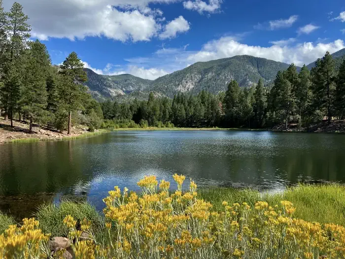
 If it rains5of7, CC BY-SA 2.0 · Wikimedia Commons
Places © OpenStreetMap contributors, Places © Overture Maps Foundation · Photos: 5of7, CC BY-SA 2.0 (commons)
More in HurricaneNot on Roamze yet. Their page has how to reach them.
 Pine Valley Guard StationCampingPhoto: Recreation.gov (RIDB) / public domain4.4 mi
Source: Roamze catalog (indexable pages within 10 miles, PostGIS distance)
Map and trail data © OpenStreetMap contributors

