Flat Canyon
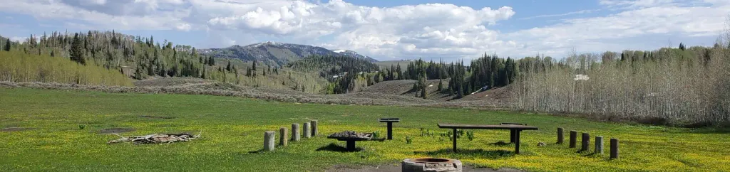
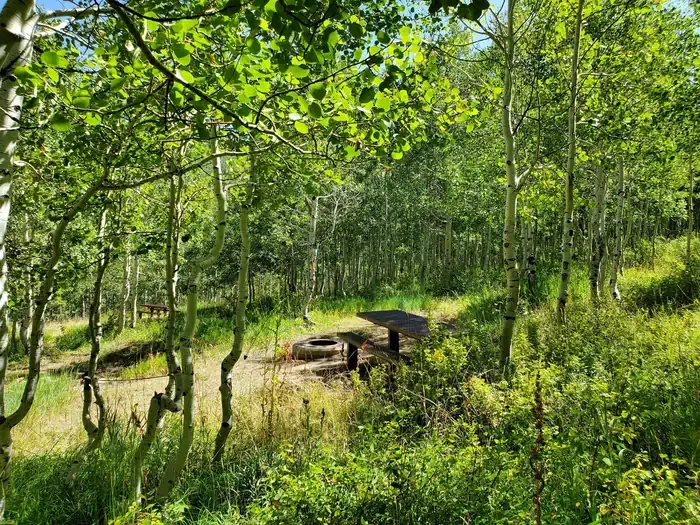
Campground
The next 6 weekends are full on Recreation.gov
No closures listed
The Forest Service lists no closures for Manti-La Sal National Forest.
As of · Source: USFS · Manti-La Sal National Forest. Agencies don't list every closure — check before you go.
NFS Trail 12 is a 9.5-mile out-and-back route in Utah's Manti-La Sal National Forest, within the Price Ranger District. The Forest Service manages the land. The trail's climb is back-loaded, with the steepest stretch at about 1.3 miles in, and the route totals 1,800 feet of gain and loss. The trail starts at about 9,693 feet and climbs to a high point of 9,705 feet. The most comfortable months for a visit are July and August, when typical highs reach the mid-70s at the Scofield-Skyline Mine weather station about 7 miles away. That station sits roughly 1,000 feet lower than the trail, so temperatures on the route run cooler. Spring Creek and Beaver Dam Reservoir Road both lie about 0.1 mile away. North Fork of Towhead Mtn is about 2.3 miles off. For an overnight stay, Flat Canyon campground is about 3.1 miles away.
Flat Canyon
Campground
 If it rainsGranary arts, CC BY-SA 4.0 · Wikimedia Commons
Granary Arts
Museum
Places © OpenStreetMap contributors, Places © Overture Maps Foundation · Photos: Granary arts, CC BY-SA 4.0 (commons)
More in Mount PleasantNot on Roamze yet. Their page has how to reach them.
 Lake Canyon Rec AreaCampingPhoto: Recreation.gov (RIDB) / public domain3.3 mi
 Gooseberry Creek CampgroundCampingPhoto: Recreation.gov (RIDB) / public domain5 mi
Source: Roamze catalog (indexable pages within 10 miles, PostGIS distance)
Best months: June–September. Best months have typical highs of 55–85 °F, lows of 30 °F or warmer (32 °F where the station doesn't record snow), at most one snowy day and no more than 12 wet days.
Jan
30° / 13°
12 wet
Feb
31° / 14°
11 wet
Mar
38° / 20°
11 wet
Apr
44° / 24°
10 wet
May
54° / 33°
9 wet
Jun
66° / 41°
7 wet
Jul
74° / 48°
8 wet
Aug
72° / 46°
10 wet
Sep
63° / 39°
8 wet
Oct
50° / 29°
8 wet
Nov
38° / 19°
9 wet
Dec
30° / 12°
11 wet
Typical high / low (°F) and days with rain or snow, 1991–2020. Measured at Scofield-Skyline Mine, UT, 7 mi away at 8,697 ft. The station sits about 1,000 ft lower than this place, so expect it a little cooler here. This station doesn't record snowfall. Source: NOAA NCEI U.S. Climate Normals 1991–2020.
Map and trail data © OpenStreetMap contributors
