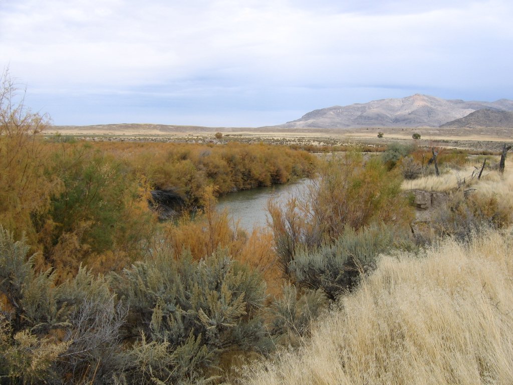
Trappers Creek
- 2.5 mi
- round trip
- 1,207 ft
- climb
- 9,282 ft
- high point
- Out and back
- route
Is Trappers Creek open right now?
Alert in the area
The Forest Service lists 2 alerts for Fishlake National Forest.
PST 66 Rock Canyon Trail Temporarily Closed
Agency alert covering Fishlake National Forest · USFS · Fishlake National Forest
TERMINATION OF STAGE 1 FIRE RESTRICTION ORDER
Agency alert covering Fishlake National Forest · Order 0408-26-10 · USFS · Fishlake National Forest
As of · Source: USFS · Fishlake National Forest. Agencies don't list every closure — check before you go.
Trappers Creek is a 2.5-mile out-and-back hike in the Beaver Ranger District of Fishlake National Forest in Utah. The trail rises from about 8,057 feet to about 9,282 feet, a climb of roughly 1,207 feet one way, and is rated easy. The route is on natural surface, and both horses and bikes are allowed. That makes it a flexible option for riders and pack animals as well as hikers. For more time on foot, the Tribune Creek - Wilson Creek hike lies about 1.3 miles away. Paddlers can reach the Sevier River about 1.5 miles off, and the Picnic Creek mountain biking trail is about 1.8 miles away. Indian Creek Dispersed Camping, about 4.2 miles out, offers a place to camp.
Keep exploring — more trails worth the drive
 Photo: Andrey Zharkikh, CC BY 2.0 (via Wikimedia Commons)
South Fork of North Creek
~8 min drive
3.87-mile out-and-back trail in Utah with 661 ft elevation gain.
Photo: Andrey Zharkikh, CC BY 2.0 (via Wikimedia Commons)Mud Lake - Blue Lake
~10 min drive
1.20-mile out-and-back trail in Utah with 164 ft elevation gain.
 Photo: Andrey Zharkikh, CC BY 2.0 (via Wikimedia Commons)
Skyline National Recreation Tr
~11 min drive
22.80-mile out-and-back hike in Utah with 2,320 ft elevation gain.
HIKE
Cove Creek - Indian Creek
~10 min drive
28.98-mile out-and-back trail in Utah with 4,170 ft elevation gain.
Photo: Andrey Zharkikh, CC BY 2.0 (via Wikimedia Commons)The Pocket
~9 min drive
The Pocket is a 4.80-mile out-and-back trail in Utah with 1,402 ft of elevation gain.
HIKE
Tribune Creek - Wilson Creek
~2 min drive
2.20-mile out-and-back trail in Utah with 133 ft of elevation gain.
HIKE
Upper Trail Canyon
~4 min drive
12.20-mile out-and-back trail in Utah with 2,376 ft elevation gain.
Photo: Andrey Zharkikh, CC BY 2.0 (via Wikimedia Commons)Poison Creek - So Fk Bullion
~12 min drive
3.80-mile out-and-back trail in Utah with 1,753 ft elevation gain.
HIKE
Silver King Walking Trail
~5 min drive
0.44-mile loop trail in Utah with 214 ft gain and 322 ft loss.
HIKE
DEER CREEK
~5 min drive
12.62-mile out-and-back trail in Utah with 3,703 ft elevation gain and loss.
Also worth it near here