Joulious Park Trail
- 5.2 mi
- round trip
- 1,572 ft
- climb
- 10,975 ft
- high point
- Out and back
- route
Caution today
Agency alerts are in effect for this area; weather is marginal · USFS, OpenWeather · checked 10 h ago
Is Joulious Park Trail open right now?
No closures listed
The Forest Service lists no closures for Uinta-Wasatch-Cache National Forest.
As of · Source: USFS · Uinta-Wasatch-Cache National Forest. Agencies don't list every closure — check before you go.
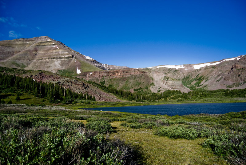
Joulious Park Trail is a 10.4-mile out-and-back hike in the High Uintas Wilderness, part of the Evanston-Mountain View Ranger District of the Uinta-Wasatch-Cache National Forest in northeastern Utah. The Forest Service manages the land, and the trail starts at the high point of 10,975 feet, with the route dropping to 9,951 feet before returning. The climb is back-loaded, with the steepest stretch at about 0.9 miles in, where the grade reaches 17 percent. The total elevation gain and loss for the round trip are each about 1,572 feet. The trail is rated hard, and the trip is estimated to take about 4.5 hours. The route is long and the grade is steep in places, so plan for a full day on foot. Nearby, the West Fork Beaver Trail lies about 2 miles away and Dahlgreen Ridge about 2.8 miles. For an overnight base, China Meadows campground is about 5.5 miles off, and the Painter Peak hike is about 3.3 miles away.
- West Fork Beaver TrailHiking2 mi
- Dahlgreen RidgeHiking2.8 mi
- Henrys ForkRiver fishing3.3 mi
- Painter PeakHiking3.3 mi
- China MeadowsCamping5.5 mi
- China LakeLake fishing6.1 mi
- Marsh Lake CampgroundCamping6.6 mi
- Marsh LakeLake fishing6.9 mi
Source: Roamze catalog (indexable pages within 10 miles, PostGIS distance)
 GunsightHiking · ~10 min drivePhoto: John Sowell, CC BY-SA 4.0 (via Wikimedia Commons)
- Chain Lakes-Atwood TrailHiking · ~11 min drivePhoto: John Sowell, CC BY-SA 4.0 (via Wikimedia Commons)
- Dahlgreen RidgeHiking · ~5 min drive
- Henrys ForkHiking · ~6 min drive
- Henry's Fork Horse BypassHiking · ~6 min drive
- Henrys Fork PeakHiking · ~6 min drive
- Big Meadows TrailHiking · ~6 min drive
- Henrys Fork BasinHiking · ~6 min drive
- Dahlgreen Connector TrailHiking · ~8 min drive
- Kings PeakHiking · ~6 min drive
Map and trail data © OpenStreetMap contributors
