

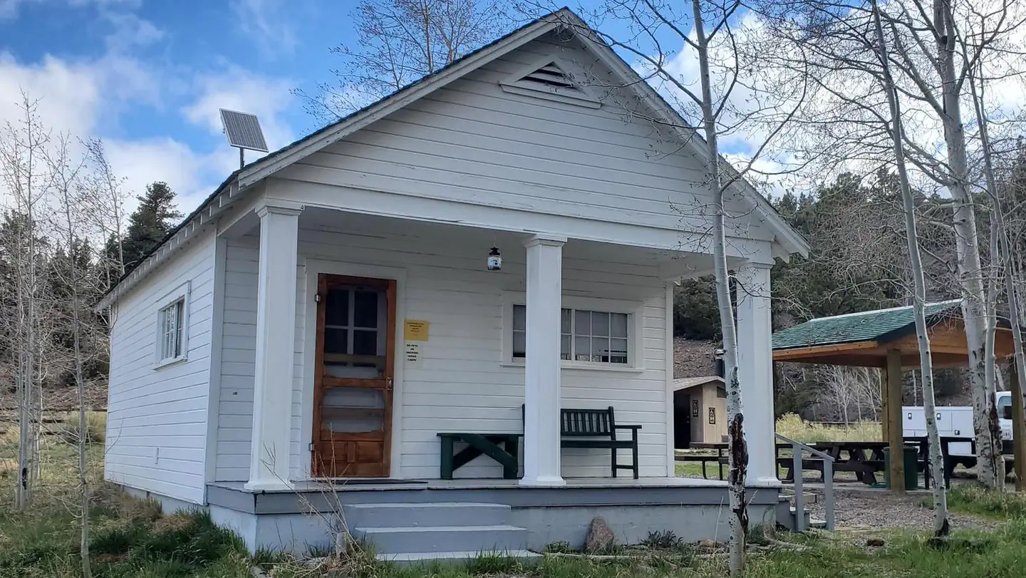

Sand Creek RV Park & Campground
Hiking business nearby (~4 mi away) — hasn't claimed their Roamze page yet
Free — you'll pick up right here.
Watch this trail
Sign up to watch it — saving subscribes you to gate, closure and report changes.
Utah
5.0 mi
Distance
1,812 ft
Gain
2h 34m
Time
No agency boundary, access route or field report is mapped to it — so there is no verdict, and we won't guess. We'll tell you the moment this trail has something to say.
Covered nearby
Trails within 25 miles where we do have a current picture.
Nobody's filed a report here yet — be the first.
Why you'll love it
Jim Larsen Reservoir Trail
AI-suggested draft · review before you go
No permit or access details on file for this trail — check with the local land manager before you go.
Jim Larsen Reservoir Trail is a moderate 5-mile out-and-back hike that climbs nearly 1,800 feet to reach a scenic alpine reservoir in Utah's backcountry. The trail features steady elevation gain through mixed terrain, rewarding hikers with mountain views and the peaceful setting of the reservoir basin. This is an excellent choice for hikers seeking a challenging day hike with a clear destination.
Teasdale Road
~3 min drive
Easy 3.1-mile road walk near Teasdale with minimal elevation gain.
Birch Creek Trail
~3 min drive
Moderate 6.6-mile creek-side hike with 1,918 ft elevation gain.
Boulder Creek Trail
~4 min drive
Moderate 4-mile canyon hike with 1,471 ft gain and scenic creek views.
Lost Lake Trail
~6 min drive
Easy 1.5-mile hike to a mountain lake with 535 ft elevation gain.
Great Western Trail - Fish Creek Section
~4 min drive
Steep 3.1-mile climb on the Great Western Trail with 1,595 ft gain.
Donkey Meadows Trail
~10 min drive
Scenic 8-mile meadow hike with gentle terrain and open vistas.
Blind Lake Trail
~6 min drive
Scenic 4.37-mile lake hike with 666 ft elevation gain.
Solitare Lake Trail
~7 min drive
Easy 2-mile hike to a scenic alpine lake with minimal elevation gain.
North Slope Road
~5 min drive
Easy 0.58-mile road walk on Utah's North Slope.
Sand Flat
~15 min drive
Moderate 9.5-mile desert hike with 824 ft elevation gain near Sand Flat.
Local operatorsoffering guided trips. You book directly with them — Roamze doesn’t take a cut.
Sand Creek RV Park & Campground
Hiking business nearby (~4 mi away) — hasn't claimed their Roamze page yet
Escalante Outfitters
Hiking business nearby (~34 mi away) — hasn't claimed their Roamze page yet
Canyons of Escalante RV Park
Hiking business nearby (~34 mi away) — hasn't claimed their Roamze page yet